MyTopo
Pine Creek Mountain Oregon US Topo Map
Couldn't load pickup availability
Also explore the Pine Creek Mountain Forest Service Topo of this same quad for updated USFS data
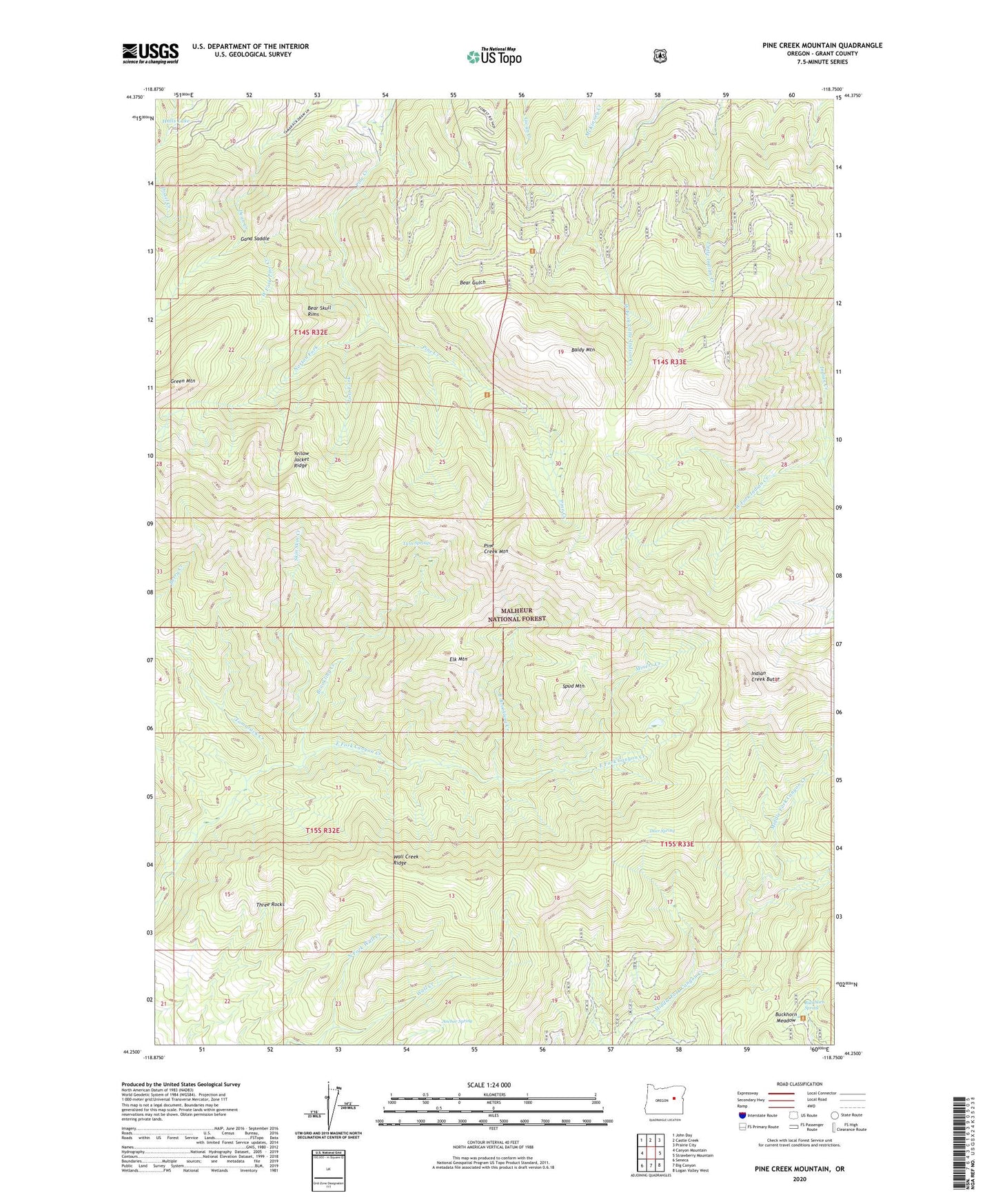
2023 topographic map quadrangle Pine Creek Mountain in the state of Oregon. Scale: 1:24000. Based on the newly updated USGS 7.5' US Topo map series, this map is in the following counties: Grant. The map contains contour data, water features, and other items you are used to seeing on USGS maps, but also has updated roads and other features. This is the next generation of topographic maps. Printed on high-quality waterproof paper with UV fade-resistant inks.
Quads adjacent to this one:
West: Canyon Mountain
Northwest: John Day
North: Castle Creek
Northeast: Prairie City
East: Strawberry Mountain
Southeast: Logan Valley West
South: Big Canyon
Southwest: Seneca
This map covers the same area as the classic USGS quad with code o44118c7.
Contains the following named places: Anchor Spring, Baldy Mountain, Bear Camp, Bear Skull Rims, Berry Creek Trail, Bingham Camp, Brookling Creek, Buckhorn Meadow Recreation Site, Buckhorn Meadow Trailhead, Buckhorn Spring, Canyon Creek Research Natural Area, Canyon Mountain Trail, Celebration Mine, Chambers Mine, Deer Spring, Dry Camp Mine, East Brookling Creek, East Fork Canyon Trail, Elk Mountain, Gand Saddle, Green Mountain, Grindstone Camp, Halls Lake, Hotel de Bum Camp, Indian Creek Butte, Lost Fork, Miller Ranch, Miners Creek, North Fork Wall Creek, Norton Fork, Oxbow Ranch Dam, Pine Creek Mountain, Pine Creek Recreation Site, Pine Creek Trailhead, Ray Mine, Skin Shin Creek, Spud Mountain, Strawberry Mountain Wilderness, Table Mountain Cutoff Trail, Table Mountain Trail, Tamarack Camp, Tamarack Creek, Three Rocks, Twin Springs, Wall Creek Ridge, West Fork Indian Creek, West Fork Pine Creek, Yellow Jacket Ridge, Yokum Corrals Camp