MyTopo
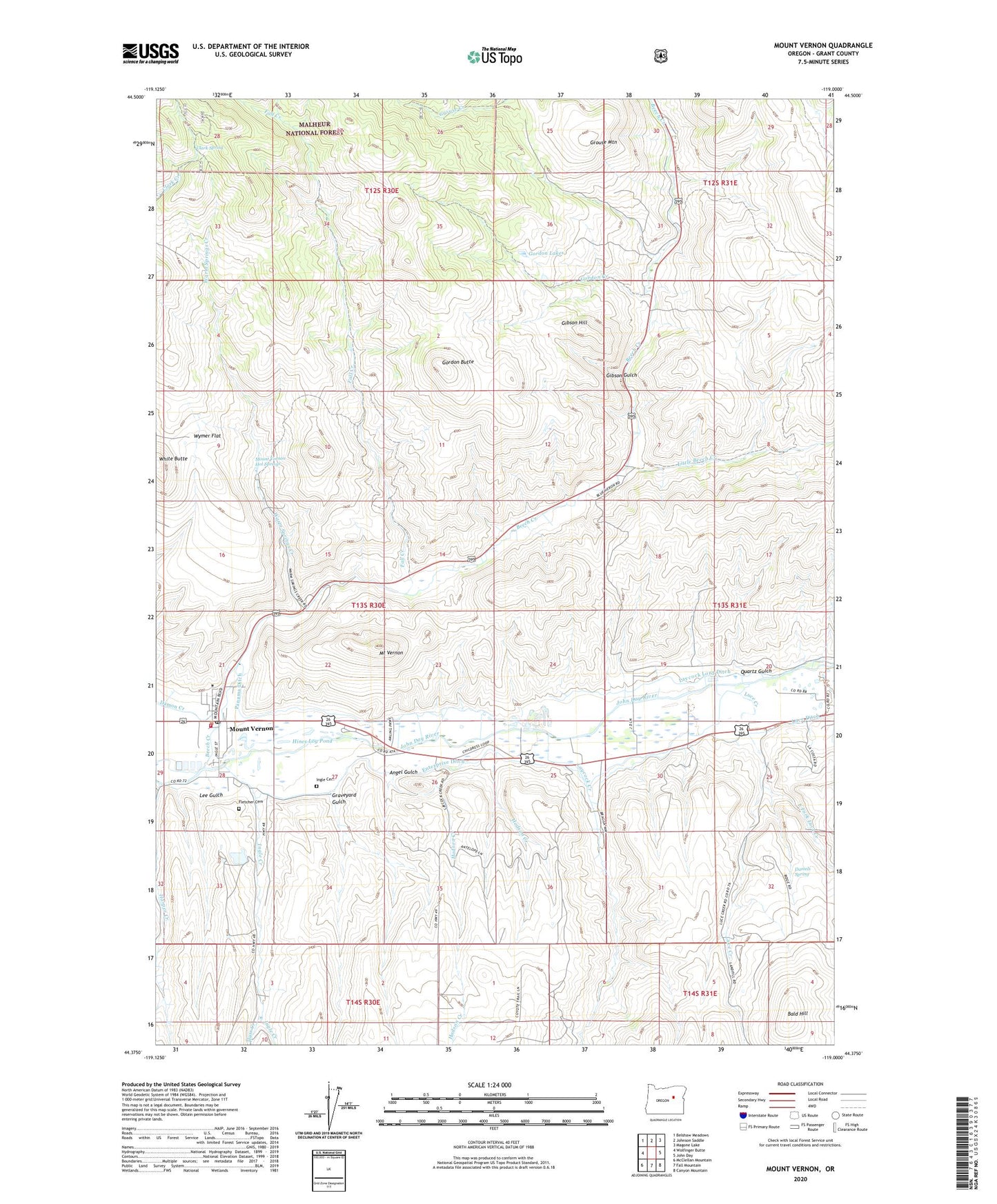
Mount Vernon Oregon US Topo Map
Couldn't load pickup availability
Also explore the Mount Vernon Forest Service Topo of this same quad for updated USFS data
2023 topographic map quadrangle Mount Vernon in the state of Oregon. Scale: 1:24000. Based on the newly updated USGS 7.5' US Topo map series, this map is in the following counties: Grant. The map contains contour data, water features, and other items you are used to seeing on USGS maps, but also has updated roads and other features. This is the next generation of topographic maps. Printed on high-quality waterproof paper with UV fade-resistant inks.
Quads adjacent to this one:
West: Wolfinger Butte
Northwest: Belshaw Meadows
North: Johnson Saddle
Northeast: Magone Lake
East: John Day
Southeast: Canyon Mountain
South: Fall Mountain
Southwest: McClellan Mountain
This map covers the same area as the classic USGS quad with code o44119d1.
Contains the following named places: Angel Gulch, Bald Hill, Beech Creek, Benson Ranch, City of Mount Vernon, Clark Spring, Clyde Holliday State Park, Daniels Spring, East Fork Luce Creek, Enterprise Ditch, Fall Creek, Fletcher Cemetery, Fletcher Ranch, Gibson Gulch, Gibson Hill, Gordon Butte, Gordon Creek, Gordon Lakes, Grant, Grant County, Grant Post Office, Graveyard Gulch, Grouse Creek, Grouse Mountain, Harper Creek, Herburger Pond, Hines Log Pond, Hodson Creek, Huss Creek, Ingle Cemetery, Ingle Creek, John Day Sanitary Landfill, Laycock Creek, Laycock Long Ditch, Lee Gulch, Little Beech Creek, Luce Creek, Luce-Belshaw School, Mount Vernon, Mount Vernon City Hall, Mount Vernon Fire Department, Mount Vernon Hot Springs, Mount Vernon Hot Springs Resort, Mount Vernon Middle School, Mount Vernon Post Office, Mount Vernon Public Works Department Office, Mount Vernon Sewage Treatment Lagoons, Oliver Ranch, Panama Ditch, Quartz Gulch, Silvers Mine, Warm Springs Creek, White Butte, Wymer Flat