MyTopo
Castle Rock Oregon US Topo Map
Couldn't load pickup availability
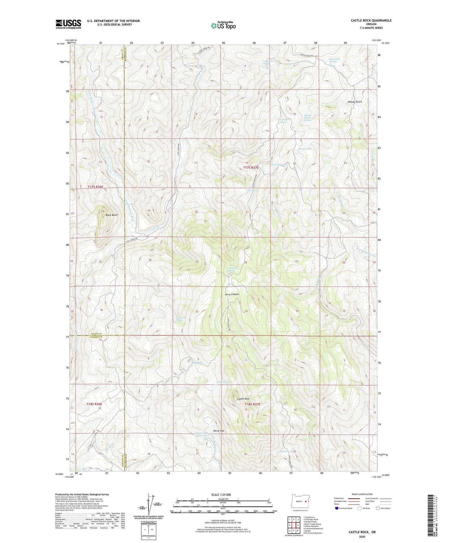
2023 topographic map quadrangle Castle Rock in the state of Oregon. Scale: 1:24000. Based on the newly updated USGS 7.5' US Topo map series, this map is in the following counties: Malheur, Grant, Harney. The map contains contour data, water features, and other items you are used to seeing on USGS maps, but also has updated roads and other features. This is the next generation of topographic maps. Printed on high-quality waterproof paper with UV fade-resistant inks.
Quads adjacent to this one:
West: Buck Trough Spring
Northwest: Flag Prairie
North: Clevenger Butte
Northeast: De Bord Peaks
East: Hunter Mountain
Southeast: De Armond Mountain
South: Beulah
Southwest: Cottonwood Reservoir
This map covers the same area as the classic USGS quad with code o44118a2.
Contains the following named places: Black Butte, Campspot Spring, Castle Rock, Castle Rock Fire Station, Castle Rock Spring, Castle Spring, Castle View Spring, Goodwin Tomb, Horse Flat, Horse Flat Reservoir, Hunter Campground, Hunter Spring, Irish Spring, Log Spring, Lost Creek, Lost Creek Spring, Mouse Lake, Mouse Spring, Sheep Rock Springs, Whisky Gulch, Whisky Gulch Springs