MyTopo
Clevenger Butte Oregon US Topo Map
Couldn't load pickup availability
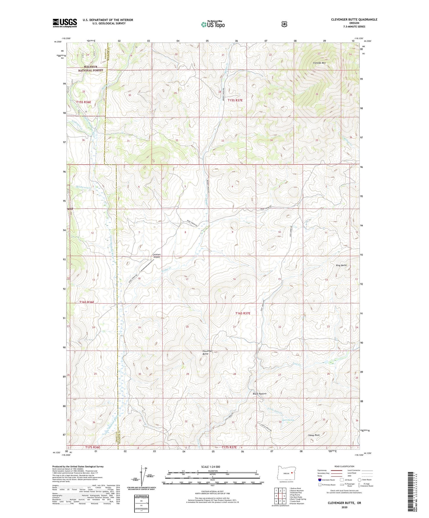
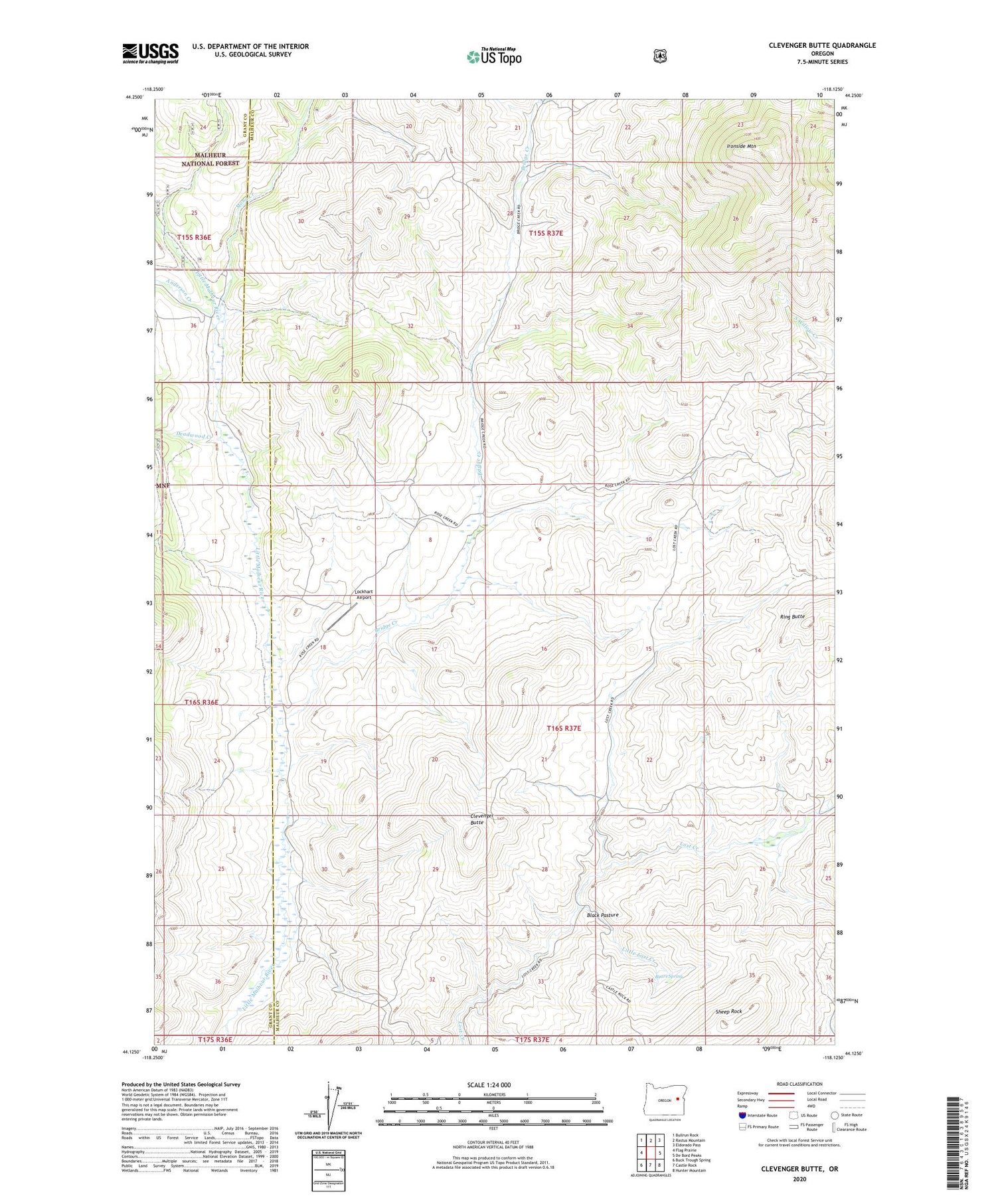
2020 topographic map quadrangle Clevenger Butte in the state of Oregon. Scale: 1:24000. Based on the newly updated USGS 7.5' US Topo map series, this map is in the following counties: Malheur, Grant. The map contains contour data, water features, and other items you are used to seeing on USGS maps, but also has updated roads and other features. This is the next generation of topographic maps. Printed on high-quality waterproof paper with UV fade-resistant inks.
Quads adjacent to this one:
West: Flag Prairie
Northwest: Bullrun Rock
North: Rastus Mountain
Northeast: Eldorado Pass
East: De Bord Peaks
Southeast: Hunter Mountain
South: Castle Rock
Southwest: Buck Trough Spring
Contains the following named places: Anderson Creek, Black Pasture, Bridge Creek, Byars Spring, Clevenger Butte, Deadwood Creek, Ironside Mountain, Little Lost Creek, Lockhart Airport, Lockhart Crossing, Mona Creek, Ring Butte, Sheep Rock, The Holdout Cow Camp