MyTopo
Rastus Mountain Oregon US Topo Map
Couldn't load pickup availability
Also explore the Rastus Mountain Forest Service Topo of this same quad for updated USFS data
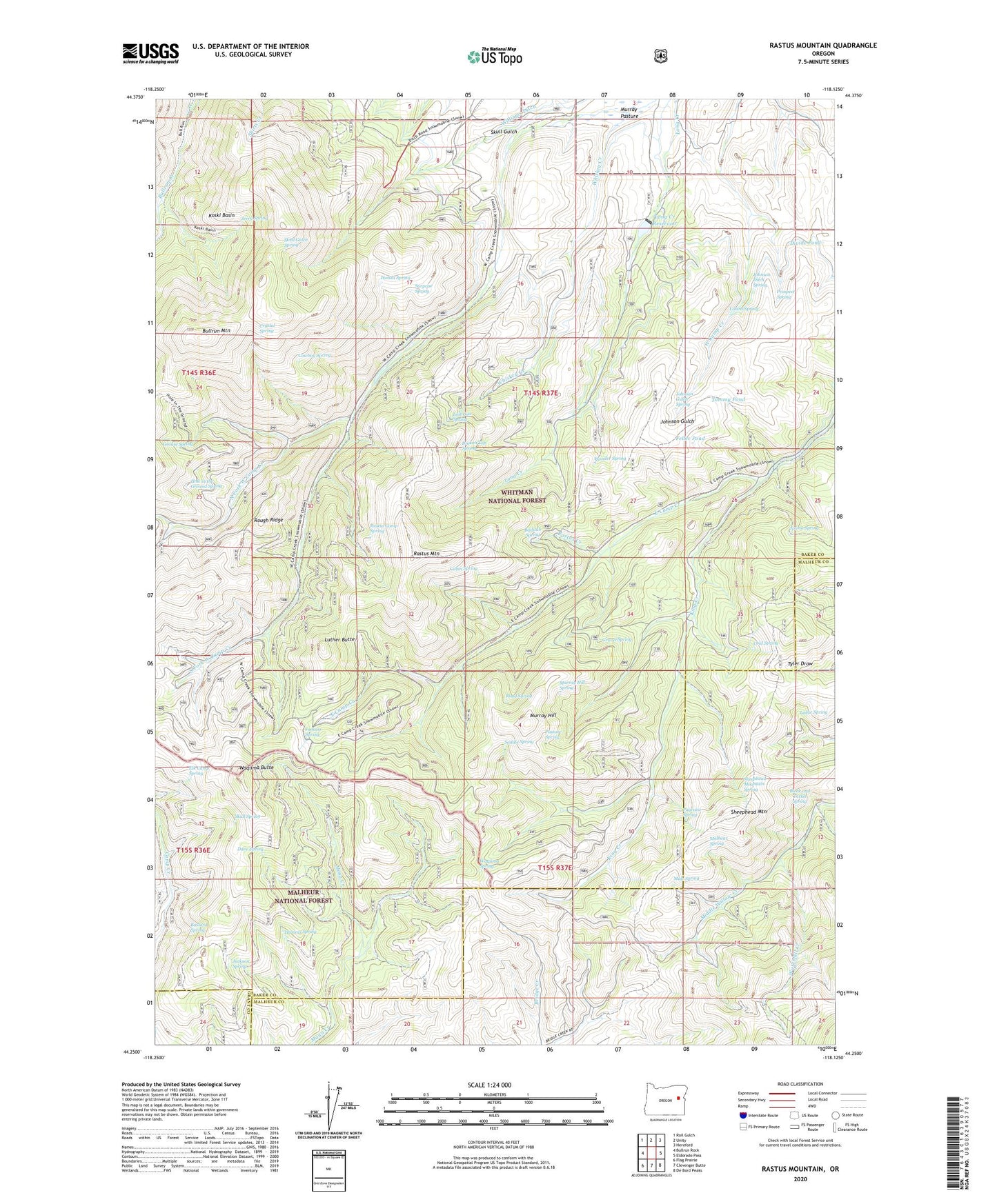
2023 topographic map quadrangle Rastus Mountain in the state of Oregon. Scale: 1:24000. Based on the newly updated USGS 7.5' US Topo map series, this map is in the following counties: Baker, Malheur, Grant. The map contains contour data, water features, and other items you are used to seeing on USGS maps, but also has updated roads and other features. This is the next generation of topographic maps. Printed on high-quality waterproof paper with UV fade-resistant inks.
Quads adjacent to this one:
West: Bullrun Rock
Northwest: Rail Gulch
North: Unity
Northeast: Hereford
East: Eldorado Pass
Southeast: De Bord Peaks
South: Clevenger Butte
Southwest: Flag Prairie
This map covers the same area as the classic USGS quad with code o44118c2.
Contains the following named places: Bastard Spring, Bathtub Spring, Block and Tackle Spring, Broken Top Spring, Bullrun Mountain, Cabin Spring, Cold Spring, Cowboy Spring, Crystal Spring, Dave Spring, Divide Pond, Elk Camp Spring, Feller Pond, Gravel Spring, Grouse Spring, Hamms Spring, Hole in the Ground Spring, Hondu Spring, Jackass Spring, Jackson Spring, Jerry Spring, Johnson Ditch Spring, Johnson Gulch Spring, King Creek, Koski Basin, Ledge Spring, Lizard Spring, Long Creek Dam, Long Creek Recreation Site, Long Creek Reservoir, Lost Cow Spring, Luther Butte, Malheur Spring, Mule Spring, Murray Hill, Murray Hill Spring, Norna Spring, North Fork West Camp Creek, Pasture Spring, Payraise Spring, Prospect Spring, Rastus Camp Spring, Rastus Creek, Rastus Mountain, Road Spring, Rough Ridge, Saddle Spring, Schwayder Mine, Sheephead Mountain, Sheephead Mountain Spring, Skull Gulch, Skull Gulch Spring, Skull Spring, South Fork Camp Creek Campground, South Fork West Camp Creek, Surprise Spring, Tammy Pond, Thomason Mine, Waqiima Butte, Waqiima Spring, Waterfall Creek, Whiskey Creek, Wonder Spring


