MyTopo
Cooper Draw Oregon US Topo Map
Couldn't load pickup availability
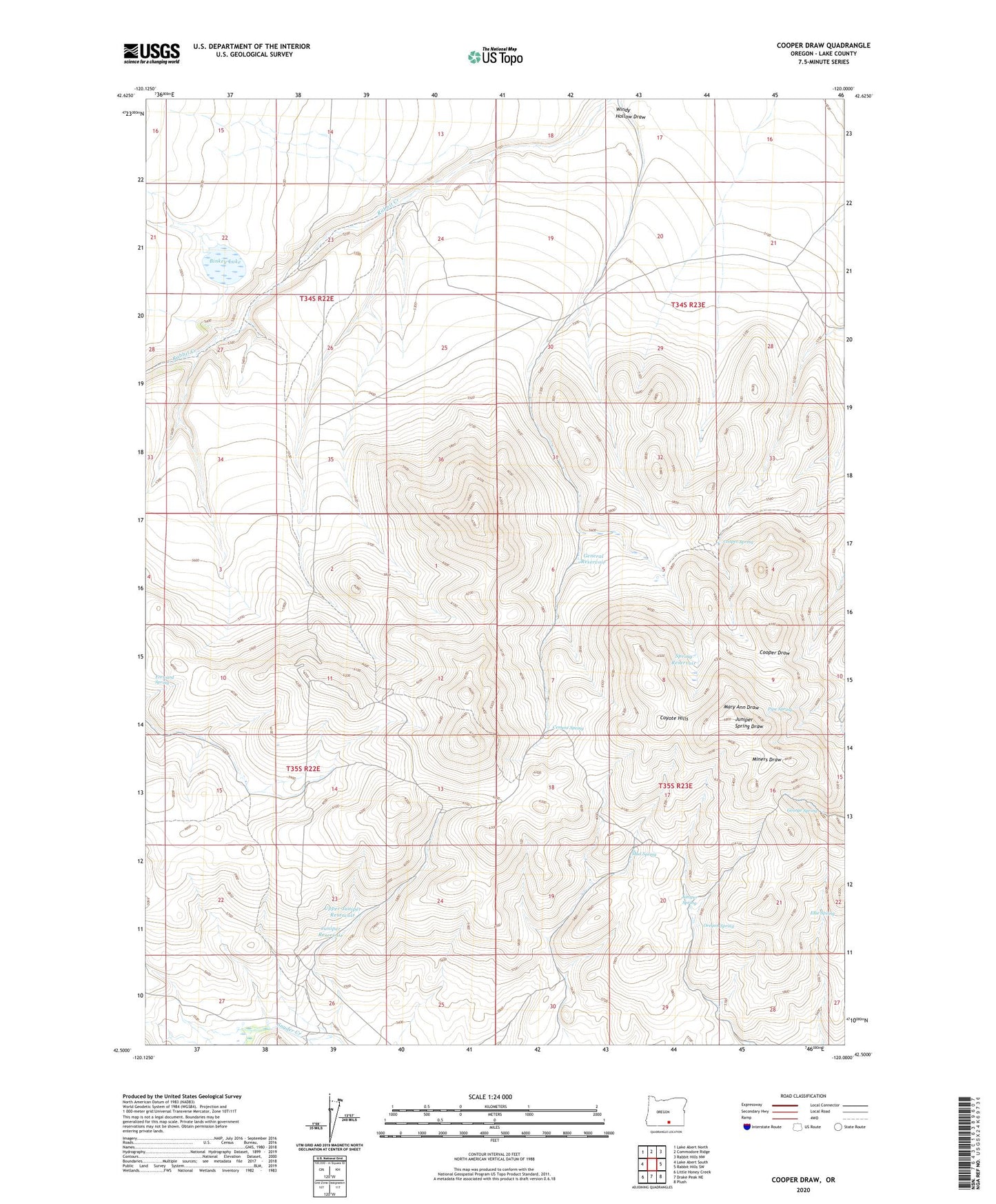
2023 topographic map quadrangle Cooper Draw in the state of Oregon. Scale: 1:24000. Based on the newly updated USGS 7.5' US Topo map series, this map is in the following counties: Lake. The map contains contour data, water features, and other items you are used to seeing on USGS maps, but also has updated roads and other features. This is the next generation of topographic maps. Printed on high-quality waterproof paper with UV fade-resistant inks.
Quads adjacent to this one:
West: Lake Abert South
Northwest: Lake Abert North
North: Commodore Ridge
Northeast: Rabbit Hills NW
East: Rabbit Hills SW
Southeast: Plush
South: Drake Peak NE
Southwest: Little Honey Creek
This map covers the same area as the classic USGS quad with code o42120e1.
Contains the following named places: Binkey Lake, Cement Spring, Cooper Spring, Ellie Spring, Fitzgerald Reservoir Number Two, Forward Reservoir, Forward Spring, General Reservoir, George Spring, Juniper Reservoir, Juniper Spring, Mud Spring, Oregon Spring, Pipe Spring, South Fork Snyder Creek, Spring Reservoir, Upper Juniper Reservoir, Windy Hollow Draw