MyTopo
Plush Oregon US Topo Map
Couldn't load pickup availability
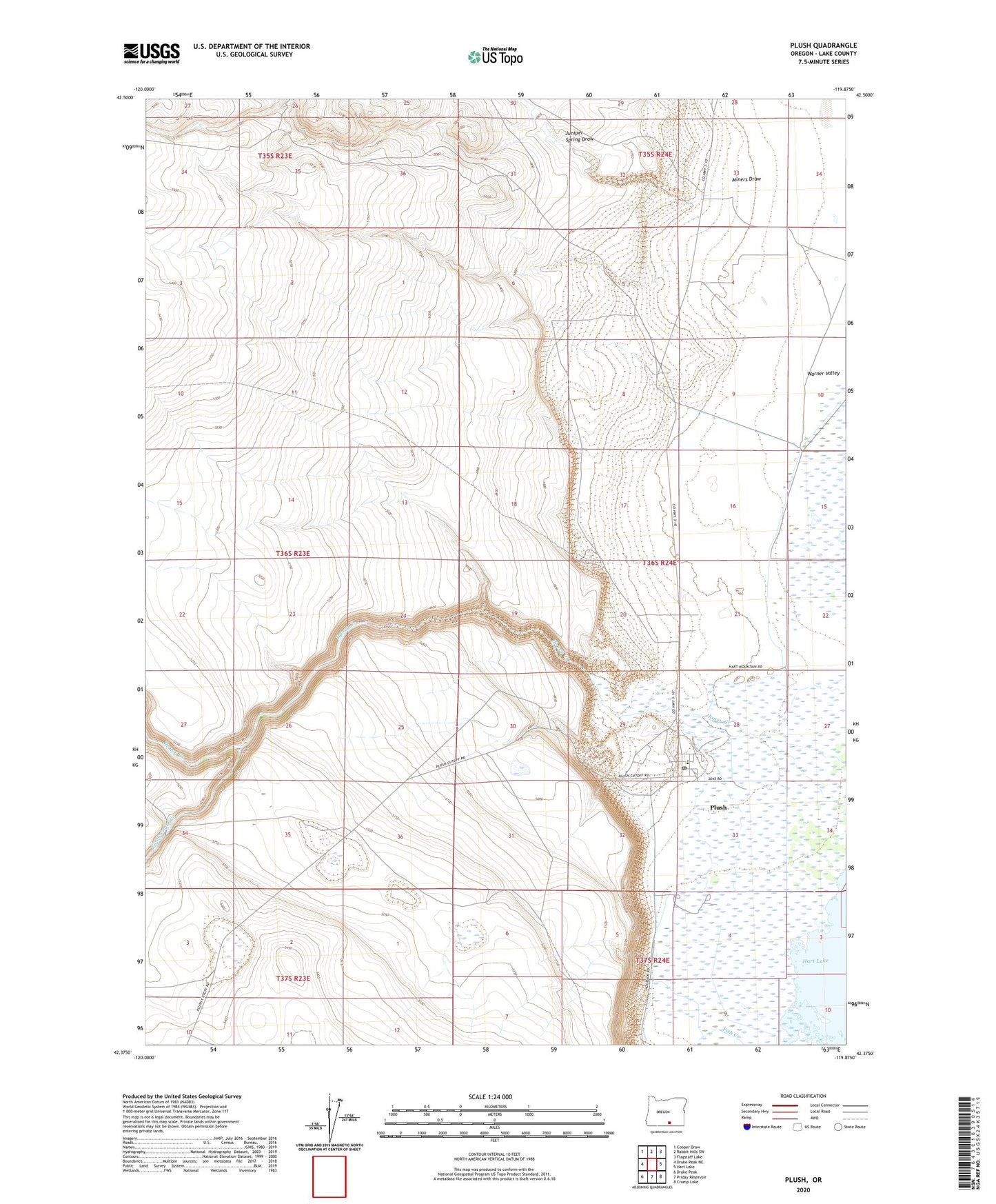
2024 topographic map quadrangle Plush in the state of Oregon. Scale: 1:24000. Based on the newly updated USGS 7.5' US Topo map series, this map is in the following counties: Lake. The map contains contour data, water features, and other items you are used to seeing on USGS maps, but also has updated roads and other features. This is the next generation of topographic maps. Printed on high-quality waterproof paper with UV fade-resistant inks.
Quads adjacent to this one:
West: Drake Peak NE
Northwest: Cooper Draw
North: Rabbit Hills SW
Northeast: Flagstaff Lake
East: Hart Lake
Southeast: Crump Lake
South: Priday Reservoir
Southwest: Drake Peak
This map covers the same area as the classic USGS quad with code o42119d8.
Contains the following named places: Con Lynch Ranch, Egan County Park, Flynn Ranch, Juniper Spring Draw, Miners Draw, Plush, Plush Census Designated Place, Plush Post Office, Taylor Ranch, Twelvemile Creek, Warner Valley Division