MyTopo
Culver Oregon US Topo Map
Couldn't load pickup availability
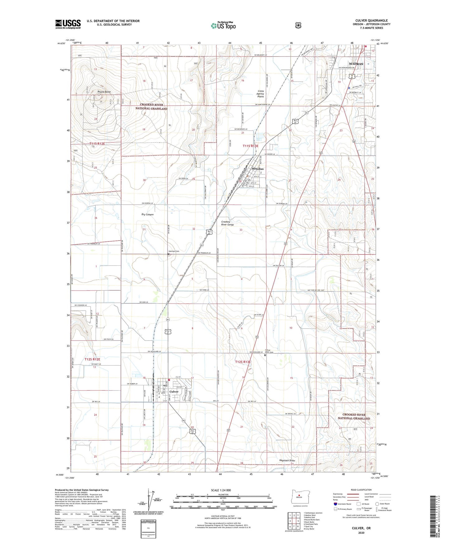
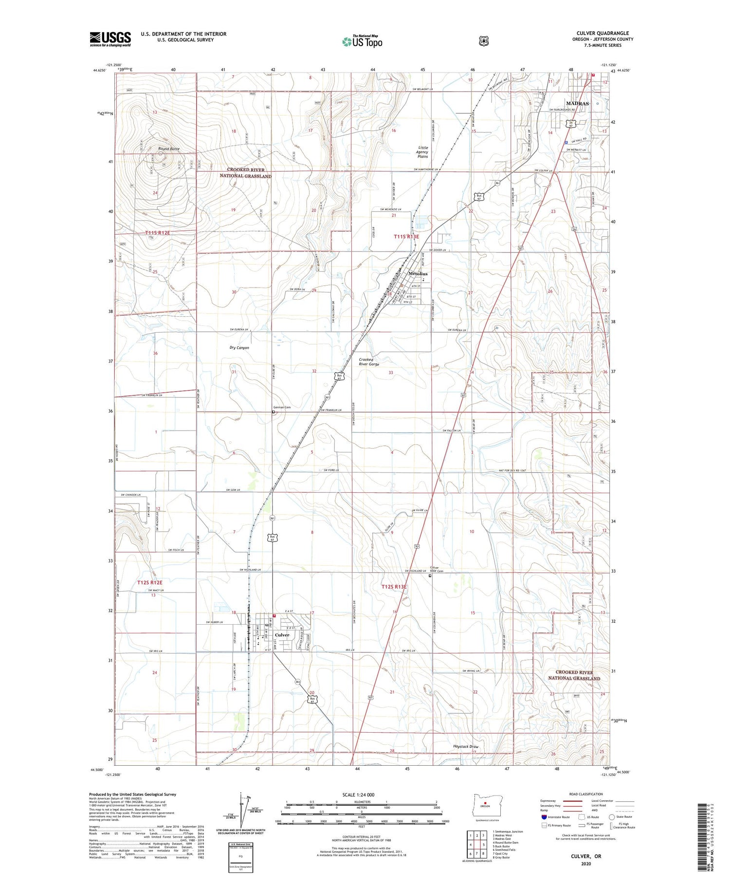
2020 topographic map quadrangle Culver in the state of Oregon. Scale: 1:24000. Based on the newly updated USGS 7.5' US Topo map series, this map is in the following counties: Jefferson. The map contains contour data, water features, and other items you are used to seeing on USGS maps, but also has updated roads and other features. This is the next generation of topographic maps. Printed on high-quality waterproof paper with UV fade-resistant inks.
Quads adjacent to this one:
West: Round Butte Dam
Northwest: Seekseequa Junction
North: Madras West
Northeast: Madras East
East: Buck Butte
Southeast: Gray Butte
South: Opal City
Southwest: Steelhead Falls
Contains the following named places: Agency, Brewer Airstrip, City of Culver, City of Metolius, Culver, Culver City Hall, Culver City Park, Culver City Public Works, Culver Division, Culver Elementary School, Culver High School, Culver IOOF Cemetery, Culver Middle School, Culver Police Department, Culver Post Office, Culver Sewage Treatment Facility, German Cemetery, Haystack Grange, Jefferson County Fairgrounds, Jefferson County Fire District 1, Jefferson County Fire District 2, Madras Southwest Base, Madras Water Tank, Metolius, Metolius City Hall, Metolius Elementary School, Metolius Municipal Court, Metolius Police Department, Metolius Post Office, Metolius Sewage Treatment Plant, Metolius Water Tank, Meuret Airstrip, Oregon State Police Department Madras, Round Butte, South Park