MyTopo
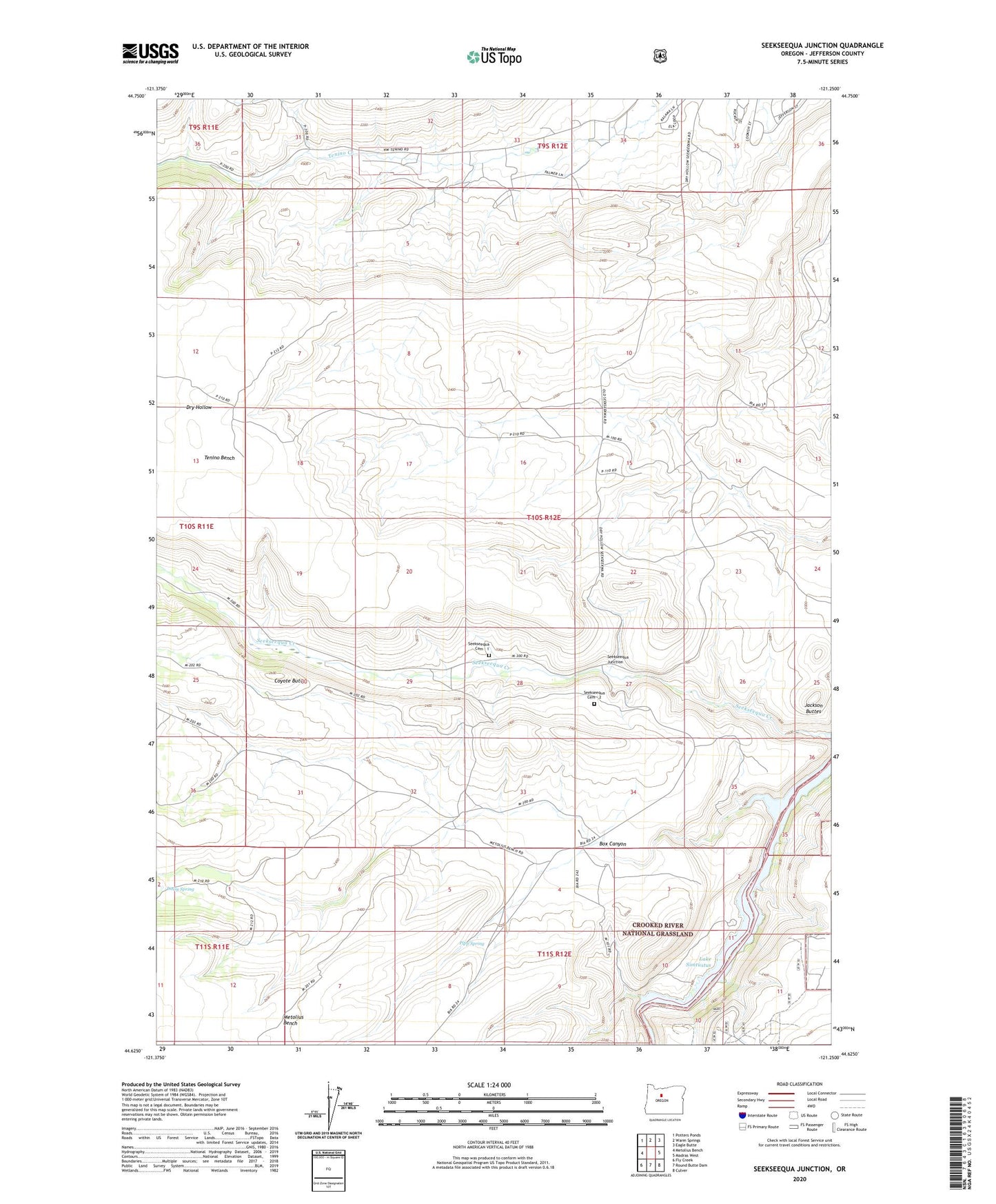
Seekseequa Junction Oregon US Topo Map
Couldn't load pickup availability
Also explore the Seekseequa Junction Forest Service Topo of this same quad for updated USFS data
2024 topographic map quadrangle Seekseequa Junction in the state of Oregon. Scale: 1:24000. Based on the newly updated USGS 7.5' US Topo map series, this map is in the following counties: Jefferson. The map contains contour data, water features, and other items you are used to seeing on USGS maps, but also has updated roads and other features. This is the next generation of topographic maps. Printed on high-quality waterproof paper with UV fade-resistant inks.
Quads adjacent to this one:
West: Metolius Bench
Northwest: Potters Ponds
North: Warm Springs
Northeast: Eagle Butte
East: Madras West
Southeast: Culver
South: Round Butte Dam
Southwest: Fly Creek
This map covers the same area as the classic USGS quad with code o44121f3.
Contains the following named places: Box Canyon, Coyote Butte, Daisy Spring, Indian Park Boat Launch, Jackson Buttes, Pipp Spring, Seekseequa Cemetery - 1, Seekseequa Cemetery - 2, Seekseequa Junction, South Fork Seekseequa Creek, Tenino Bench