MyTopo
Bridge Oregon US Topo Map
Couldn't load pickup availability
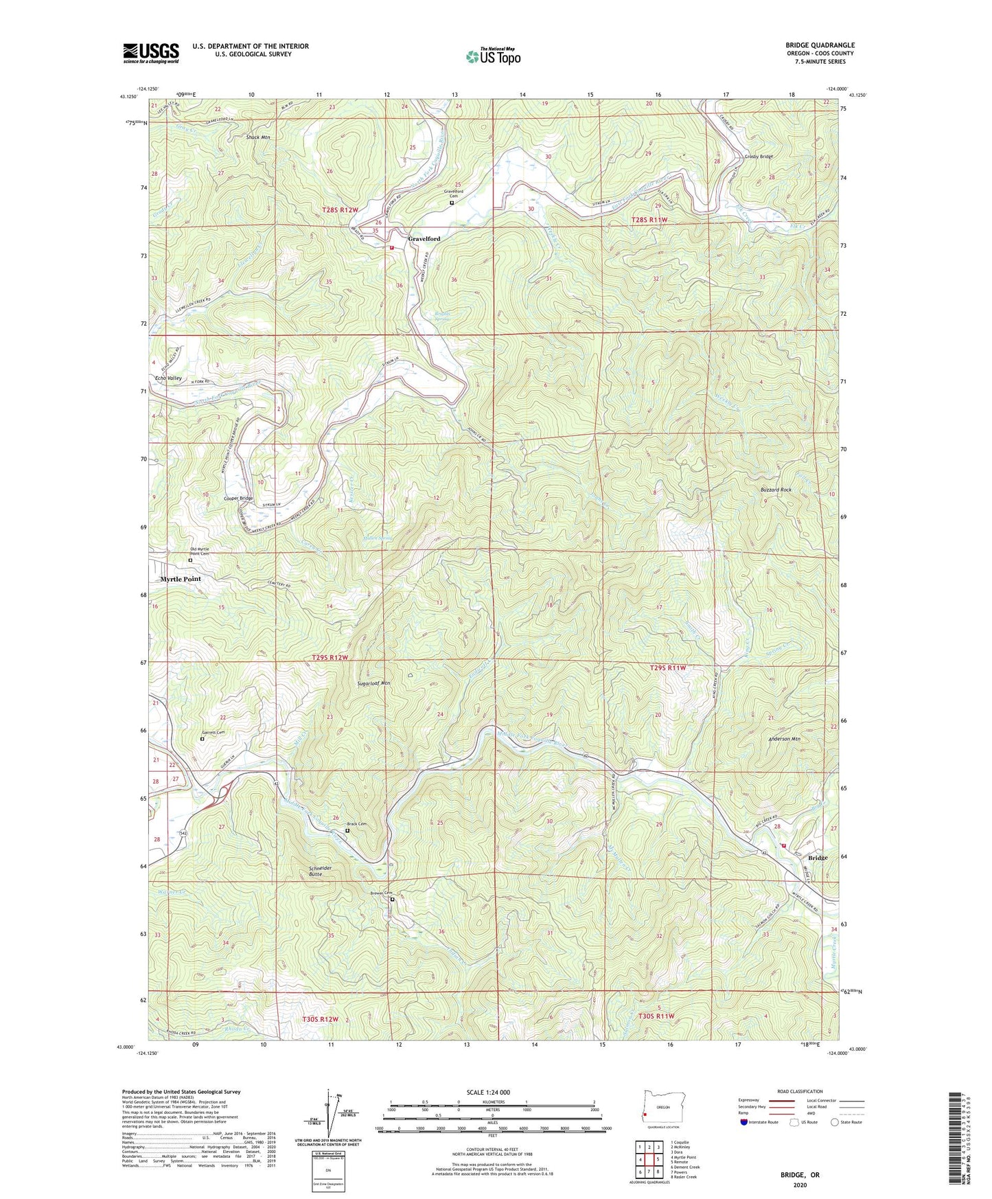
2023 topographic map quadrangle Bridge in the state of Oregon. Scale: 1:24000. Based on the newly updated USGS 7.5' US Topo map series, this map is in the following counties: Coos. The map contains contour data, water features, and other items you are used to seeing on USGS maps, but also has updated roads and other features. This is the next generation of topographic maps. Printed on high-quality waterproof paper with UV fade-resistant inks.
Quads adjacent to this one:
West: Myrtle Point
Northwest: Coquille
North: McKinley
Northeast: Dora
East: Remote
Southeast: Rasler Creek
South: Powers
Southwest: Dement Creek
This map covers the same area as the classic USGS quad with code o43124a1.
Contains the following named places: Anderson Mountain, Angora Post Office, Bennett County Park, Big Creek, Brack Cemetery, Brewer Cemetery, Bridge, Bridge Post Office, Bridge Rural Fire Department, Brights Spring, Buzzard Rock, Carey Creek, Cooper Bridge, Crosby Bridge, East Fork Coquille River, Echo Valley, Elk Creek, Enchanted Prairie Post Office, Endicott Creek, Garrett Cemetery, Gravelford, Gravelford Cemetery, Gravelford Post Office, Hermansville Post Office, Hoffman Memorial State Park, Indian Creek, Johns Creek, Kessler Creek, King Creek, McMullen Creek, Middle Fork Coquille River, Mill Creek, Mullen Spring, Myrtle Point Fire Department Station 3, Myrtle Point Water Treatment Plant, Oak Post Office, Old Myrtle Point Cemetery, Salmon Creek, Schneider Butte, Smith Creek, Spring Creek, Sugarloaf Mountain, Weekly Creek, Wimer Creek, Yankee Run, ZIP Code: 97458


