MyTopo
Lone Rock Creek Oregon US Topo Map
Couldn't load pickup availability
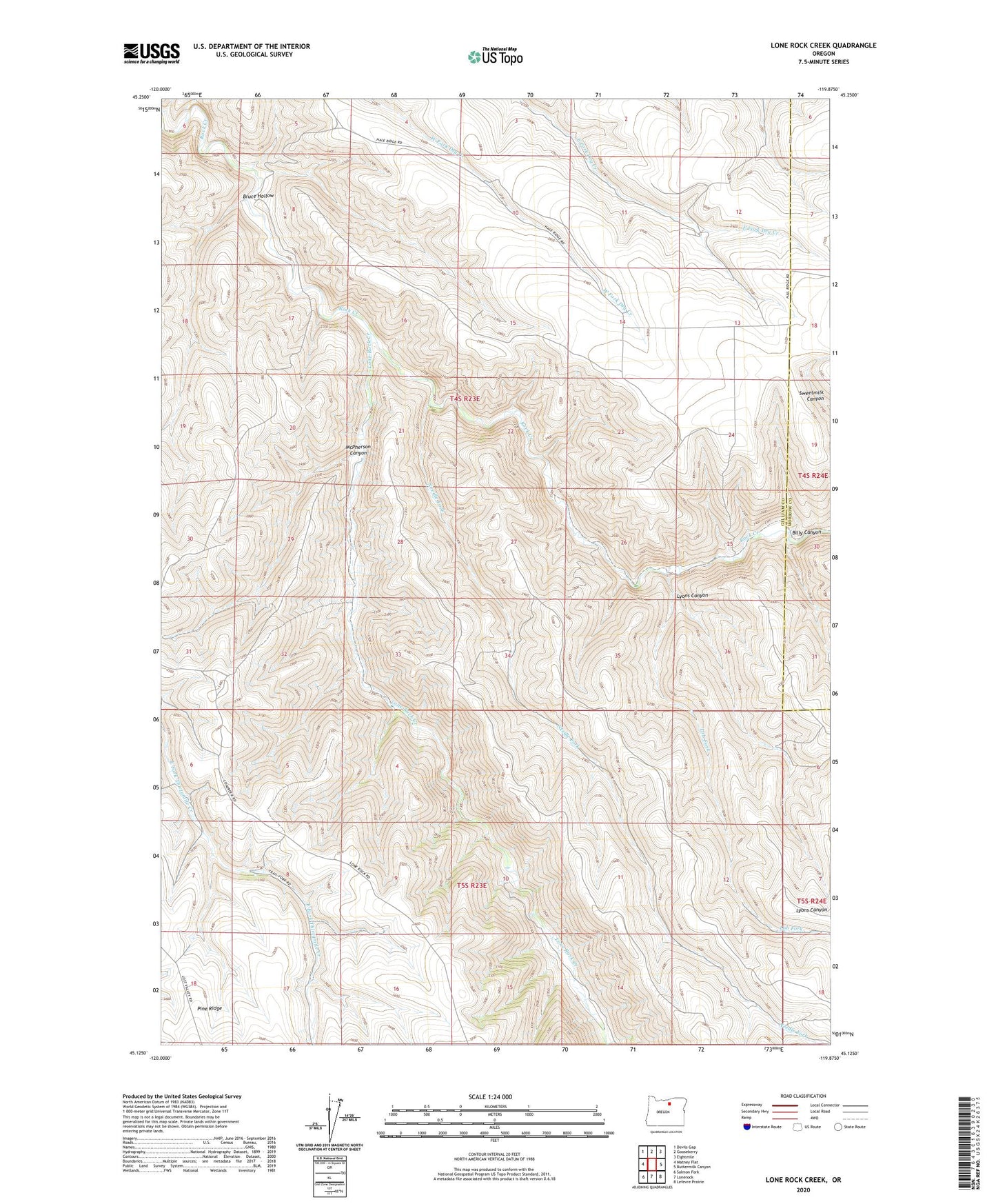
2024 topographic map quadrangle Lone Rock Creek in the state of Oregon. Scale: 1:24000. Based on the newly updated USGS 7.5' US Topo map series, this map is in the following counties: Gilliam, Morrow. The map contains contour data, water features, and other items you are used to seeing on USGS maps, but also has updated roads and other features. This is the next generation of topographic maps. Printed on high-quality waterproof paper with UV fade-resistant inks.
Quads adjacent to this one:
West: Matney Flat
Northwest: Devils Gap
North: Gooseberry
Northeast: Eightmile
East: Buttermilk Canyon
Southeast: Lefevre Prairie
South: Lonerock
Southwest: Salmon Fork
This map covers the same area as the classic USGS quad with code o45119b8.
Contains the following named places: Billy Canyon, Bruce Hollow, Lob Fork, Lone Rock Creek, Lyons Canyon, McPherson Canyon, Murtha Ranch, Needle Fork, Sweetmilk Canyon