MyTopo
Drake Peak NE Oregon US Topo Map
Couldn't load pickup availability
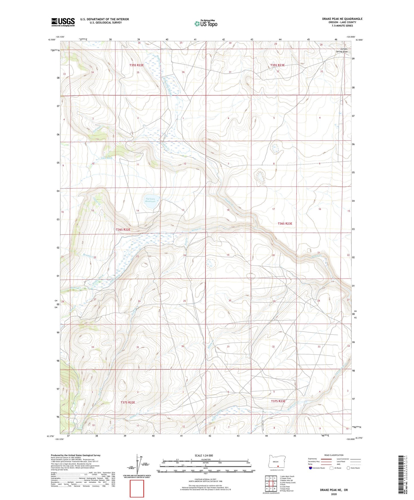
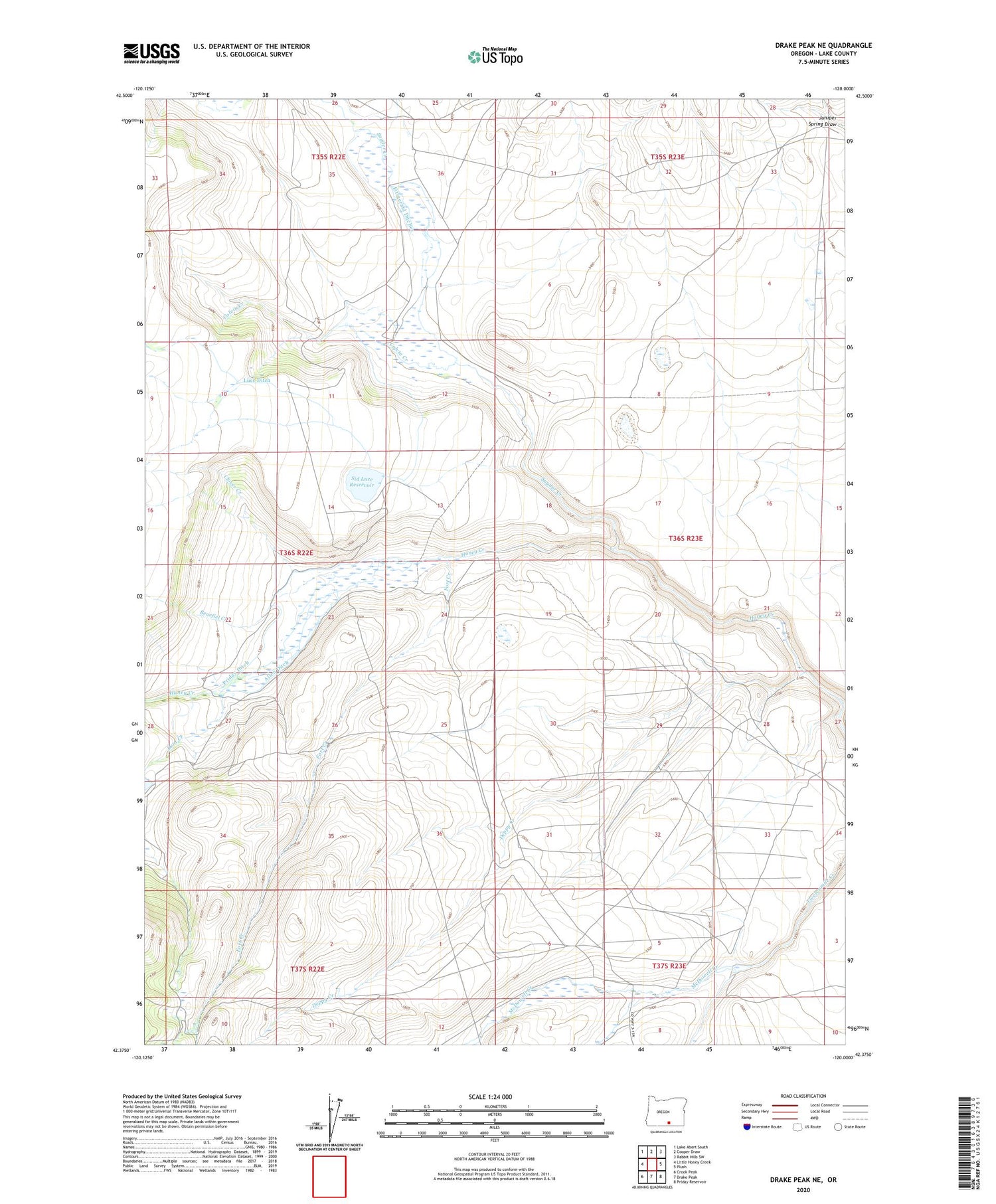
2020 topographic map quadrangle Drake Peak NE in the state of Oregon. Scale: 1:24000. Based on the newly updated USGS 7.5' US Topo map series, this map is in the following counties: Lake. The map contains contour data, water features, and other items you are used to seeing on USGS maps, but also has updated roads and other features. This is the next generation of topographic maps. Printed on high-quality waterproof paper with UV fade-resistant inks.
Quads adjacent to this one:
West: Little Honey Creek
Northwest: Lake Abert South
North: Cooper Draw
Northeast: Rabbit Hills SW
East: Plush
Southeast: Priday Reservoir
South: Drake Peak
Southwest: Crook Peak
Contains the following named places: Allen Ditch, Benefiel Creek, Clover Creek, Colvin Creek, Dent Creek, Deppy Creek, Fitzgerald Ditches, Fitzgerald Ranch, Fort Creek, McDowell Creek, North Coyote Hills Reservoir, Priday Ditch, Sid Luce Reservoir, Snyder Creek, Taylor Ranch