MyTopo
Finley Butte Oregon US Topo Map
Couldn't load pickup availability
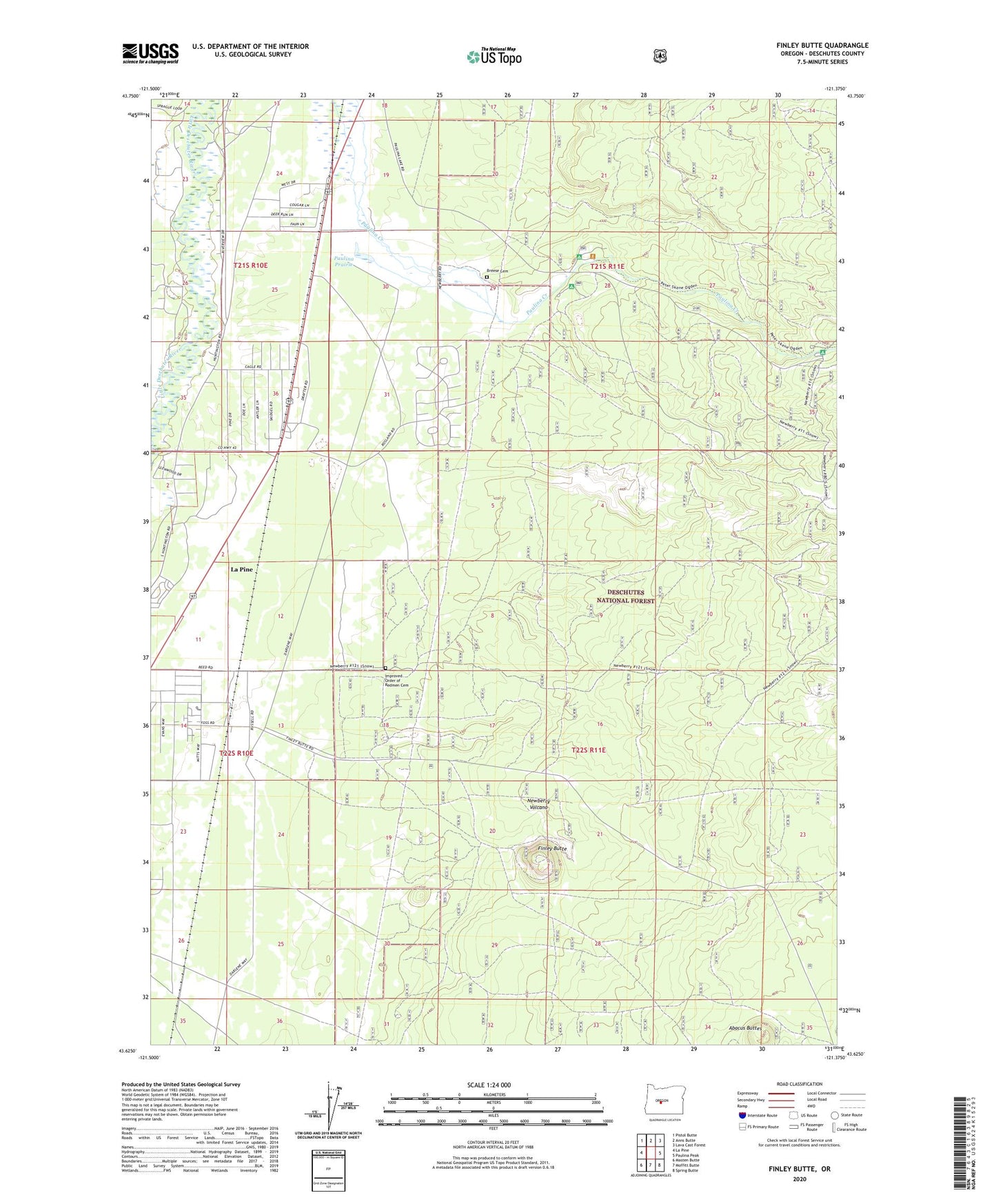
2020 topographic map quadrangle Finley Butte in the state of Oregon. Scale: 1:24000. Based on the newly updated USGS 7.5' US Topo map series, this map is in the following counties: Deschutes. The map contains contour data, water features, and other items you are used to seeing on USGS maps, but also has updated roads and other features. This is the next generation of topographic maps. Printed on high-quality waterproof paper with UV fade-resistant inks.
Quads adjacent to this one:
West: La Pine
Northwest: Pistol Butte
North: Anns Butte
Northeast: Lava Cast Forest
East: Paulina Peak
Southeast: Spring Butte
South: Moffitt Butte
Southwest: Masten Butte
Contains the following named places: Breese Cemetery, Cascades East Transit La Pine Park and Ride, City of La Pine, Finley Butte, Improved Order of Redmen Cemetery, La Pine Siding, La Pine Special Sewer District, La Pine Station, McKay Crossing Recreation Site, Ogden Group Camp, Paulina Prairie, Pengra Post Office, Prairie Recreation Site, Six Mile Sno-Park, ZIP Code: 97739