MyTopo
Jordan Craters South Oregon US Topo Map
Couldn't load pickup availability
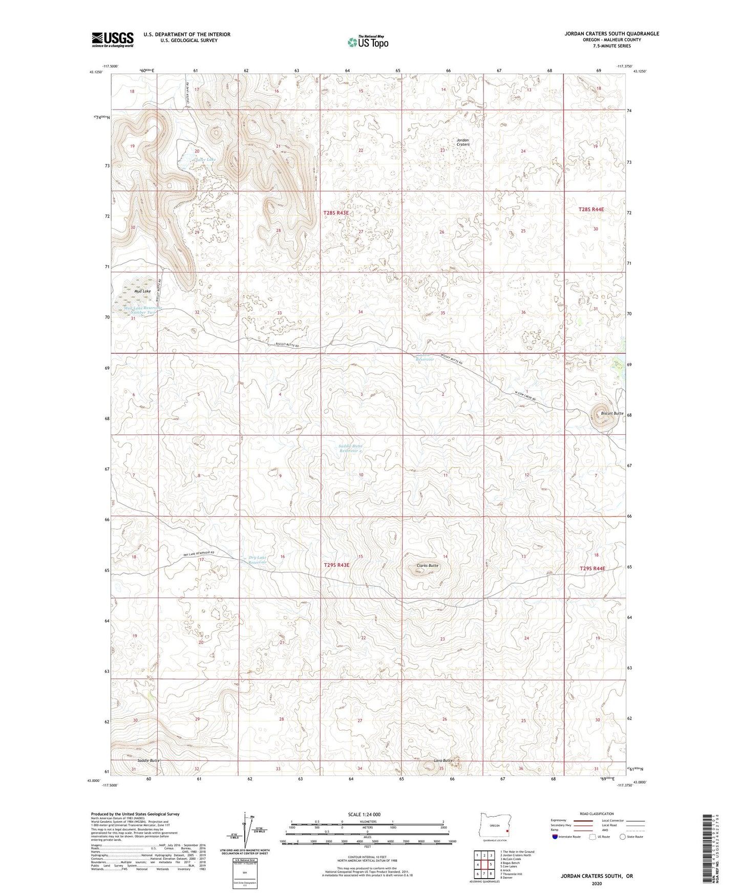
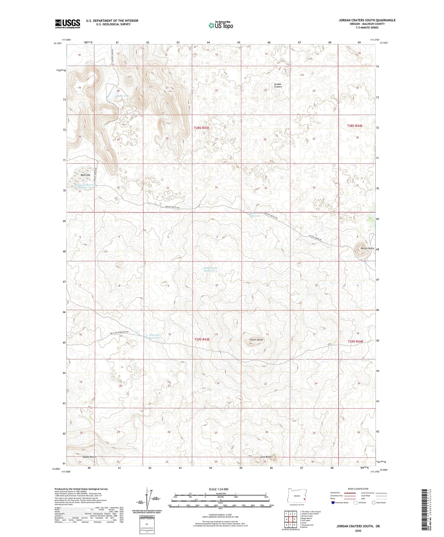
2020 topographic map quadrangle Jordan Craters South in the state of Oregon. Scale: 1:24000. Based on the newly updated USGS 7.5' US Topo map series, this map is in the following counties: Malheur. The map contains contour data, water features, and other items you are used to seeing on USGS maps, but also has updated roads and other features. This is the next generation of topographic maps. Printed on high-quality waterproof paper with UV fade-resistant inks.
Quads adjacent to this one:
West: Bogus Bench
Northwest: The Hole in the Ground
North: Jordan Craters North
Northeast: McCain Creek
East: Cow Lakes
Southeast: Danner
South: Threemile Hill
Southwest: Arock
Contains the following named places: Biscuit Butte, Clarks Butte, Crater Lake, Crater Lake Well, Dry Lake Reservoir, Jordan Craters, Lava Butte, Lava Reservoir, Lava Well, Mud Lake, Mud Lake Reservoir Number Two, Saddle Butte, Saddle Butte Reservoir 2