MyTopo
Cow Lakes Oregon US Topo Map
Couldn't load pickup availability
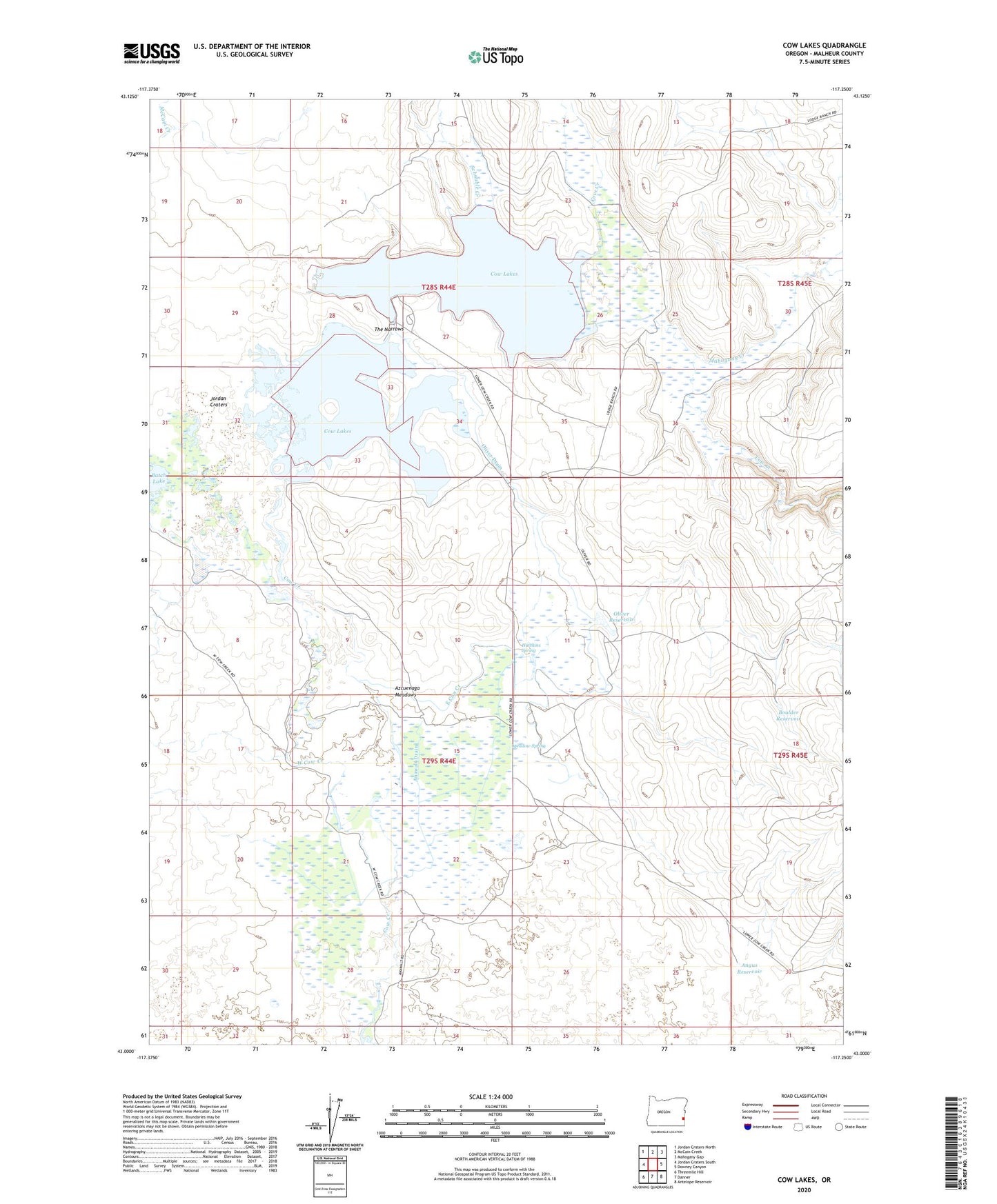
2024 topographic map quadrangle Cow Lakes in the state of Oregon. Scale: 1:24000. Based on the newly updated USGS 7.5' US Topo map series, this map is in the following counties: Malheur. The map contains contour data, water features, and other items you are used to seeing on USGS maps, but also has updated roads and other features. This is the next generation of topographic maps. Printed on high-quality waterproof paper with UV fade-resistant inks.
Quads adjacent to this one:
West: Jordan Craters South
Northwest: Jordan Craters North
North: McCain Creek
Northeast: Mahogany Gap
East: Downey Canyon
Southeast: Antelope Reservoir
South: Danner
Southwest: Threemile Hill
This map covers the same area as the classic USGS quad with code o43117a3.
Contains the following named places: Anawalt Drain, Anawalt Lake Ranch, Angus Reservoir, Azcuenaga Meadows, Batch Lake, Boulder Reservoir, Cove Creek, Cow Lakes, Cow Lakes Recreation Area, East Cow Creek, Hawkins Spring, Lodge Ranch, Lower Batch Lake, Lower Cow Lake, Mahogany Creek, McCain Creek, Meadow Spring, Oliver Drain, Oliver Ranch, Oliver Reservoir, Parks Dam, Schnable Creek, Terry Ranch, The Narrows, Upper Cow Lake, West Cow Creek