MyTopo
Threemile Hill Oregon US Topo Map
Couldn't load pickup availability
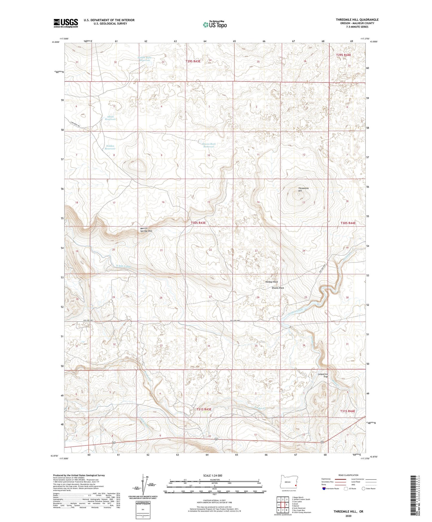
2023 topographic map quadrangle Threemile Hill in the state of Oregon. Scale: 1:24000. Based on the newly updated USGS 7.5' US Topo map series, this map is in the following counties: Malheur. The map contains contour data, water features, and other items you are used to seeing on USGS maps, but also has updated roads and other features. This is the next generation of topographic maps. Printed on high-quality waterproof paper with UV fade-resistant inks.
Quads adjacent to this one:
West: Arock
Northwest: Bogus Bench
North: Jordan Craters South
Northeast: Cow Lakes
East: Danner
Southeast: Little Grassy Mountain
South: Dry Creek Rim
Southwest: Scott Reservoir
This map covers the same area as the classic USGS quad with code o42117h4.
Contains the following named places: Alkali Reservoir, Ancil Miller Ranch, Arock Diversion Dam, Dixons Rock, Dixons Rock Reservoir, Holdup Rock, Lequerica Trap, Rock Creek, Saddle Butte Reservoir, South Side Canal, Threemile Hill, White Ranch