MyTopo
Keeney Point Oregon US Topo Map
Couldn't load pickup availability
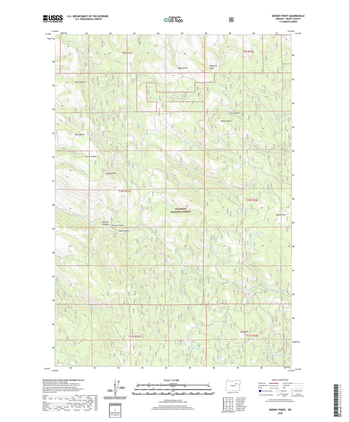
2020 topographic map quadrangle Keeney Point in the state of Oregon. Scale: 1:24000. Based on the newly updated USGS 7.5' US Topo map series, this map is in the following counties: Grant. The map contains contour data, water features, and other items you are used to seeing on USGS maps, but also has updated roads and other features. This is the next generation of topographic maps. Printed on high-quality waterproof paper with UV fade-resistant inks.
Quads adjacent to this one:
West: Long Creek
Northwest: Flowers Gulch
North: Wildcat Point
Northeast: Sharp Ridge
East: Susanville
Southeast: Cougar Rock
South: Magone Lake
Southwest: Johnson Saddle
Contains the following named places: Bear Wallow Spring, Cyclone Canyon, Doe Canyon, Federal Spring, FLCR Translator Tower, Grouse Canyon, Hog Creek, Jonas Creek, Jonas Flat, Kahler Butte, Keeney Camp Guard Station, Keeney Camp Spring, Keeney Creek, Keeney Point, Rice Creek, Twin Spring, Whisky Flat