MyTopo
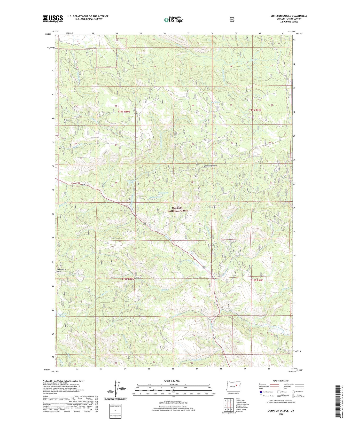
Johnson Saddle Oregon US Topo Map
Couldn't load pickup availability
Also explore the Johnson Saddle Forest Service Topo of this same quad for updated USFS data
2024 topographic map quadrangle Johnson Saddle in the state of Oregon. Scale: 1:24000. Based on the newly updated USGS 7.5' US Topo map series, this map is in the following counties: Grant. The map contains contour data, water features, and other items you are used to seeing on USGS maps, but also has updated roads and other features. This is the next generation of topographic maps. Printed on high-quality waterproof paper with UV fade-resistant inks.
Quads adjacent to this one:
West: Belshaw Meadows
Northwest: Fox
North: Long Creek
Northeast: Keeney Point
East: Magone Lake
Southeast: John Day
South: Mount Vernon
Southwest: Wolfinger Butte
This map covers the same area as the classic USGS quad with code o44119e1.
Contains the following named places: Bear Creek, Bear Spring, Beech Creek Forest Camp, Beech Creek Summit, Clear Creek, Cottonwood Camp, Cottonwood Creek, Cottonwood Recreation Site, Cottonwood Spring, East Fork Beech Creek, Ennis Creek, Forty Day Creek, Fox Camp, Hog Creek, Johnson Creek, Johnson Saddle, Laycock Creek, Little Bear Creek, Mountain Rest, Raddue Guard Station, Raddue Spring, Shrier Spring