
MyTopo
Little Akawa Butte Oregon US Topo Map
Couldn't load pickup availability
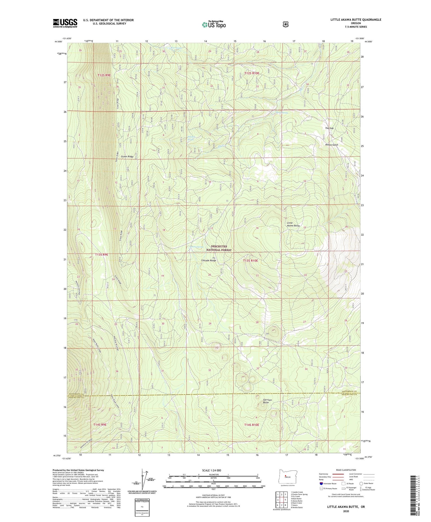
2020 topographic map quadrangle Little Akawa Butte in the state of Oregon. Scale: 1:24000. Based on the newly updated USGS 7.5' US Topo map series, this map is in the following counties: Jefferson, Deschutes. The map contains contour data, water features, and other items you are used to seeing on USGS maps, but also has updated roads and other features. This is the next generation of topographic maps. Printed on high-quality waterproof paper with UV fade-resistant inks.
Quads adjacent to this one:
West: Black Butte
Northwest: Candle Creek
North: Prairie Farm Spring
Northeast: Fly Creek
East: Akawa Butte
Southeast: Henkle Butte
South: Sisters
Southwest: Black Crater
Contains the following named places: Bear Spring, Garrison Butte, Little Akawa Butte, Metolius Research Natural Area, Summit Spring, The Gap, Thorn Spring, Whiskey Spring


