MyTopo
Peacock Lake Oregon US Topo Map
Couldn't load pickup availability
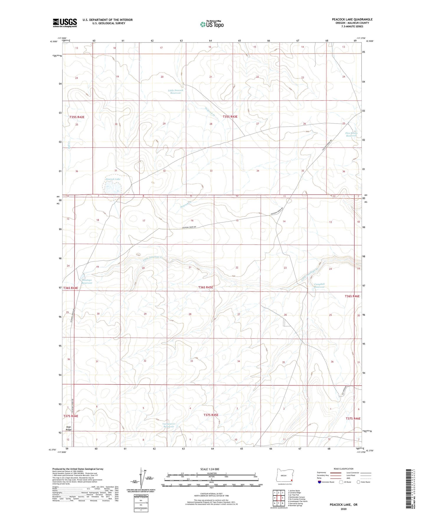
2024 topographic map quadrangle Peacock Lake in the state of Oregon. Scale: 1:24000. Based on the newly updated USGS 7.5' US Topo map series, this map is in the following counties: Malheur. The map contains contour data, water features, and other items you are used to seeing on USGS maps, but also has updated roads and other features. This is the next generation of topographic maps. Printed on high-quality waterproof paper with UV fade-resistant inks.
Quads adjacent to this one:
West: Rattlesnake Canyon
Northwest: Jackies Butte
North: Caviatta Ridge
East: No Crossing Crossing
Southeast: Rawhide Springs
South: Starvation Spring
Southwest: Grasshopper Flat North
This map covers the same area as the classic USGS quad with code o42117d4.
Contains the following named places: Antelope Reservoir, Campbell Reservoir, Five Points Reservoir, Little Peacock Reservoir, Peacock Lake, Red Tank, Varment Creek Reservoir