MyTopo
Peterson Point Oregon US Topo Map
Couldn't load pickup availability
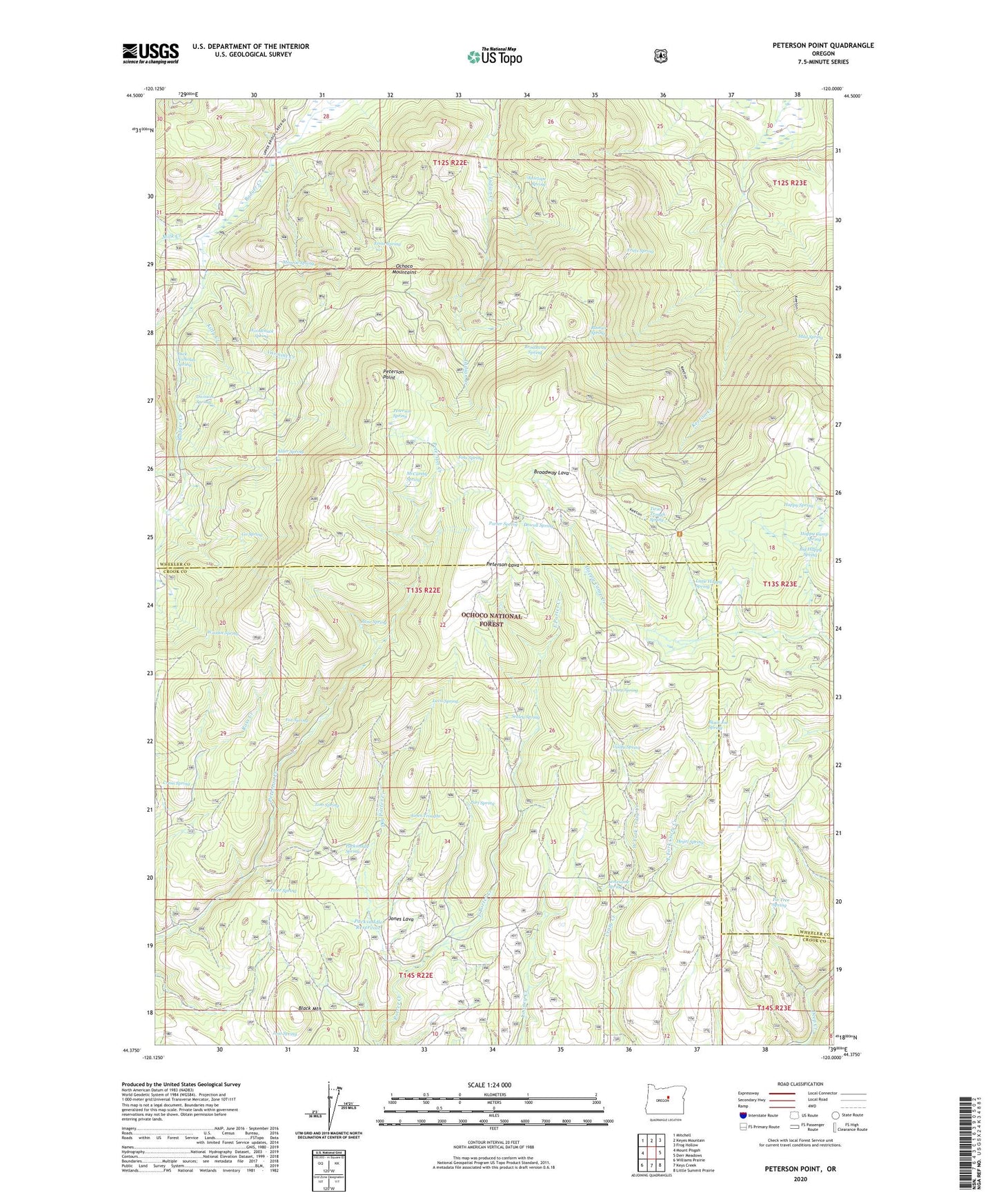
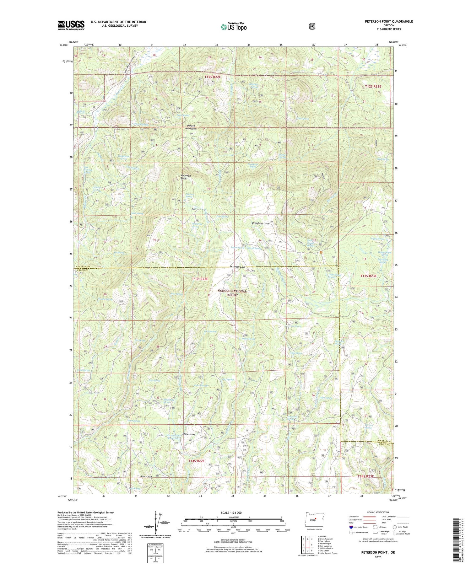
2020 topographic map quadrangle Peterson Point in the state of Oregon. Scale: 1:24000. Based on the newly updated USGS 7.5' US Topo map series, this map is in the following counties: Wheeler, Crook. The map contains contour data, water features, and other items you are used to seeing on USGS maps, but also has updated roads and other features. This is the next generation of topographic maps. Printed on high-quality waterproof paper with UV fade-resistant inks.
Quads adjacent to this one:
West: Mount Pisgah
Northwest: Mitchell
North: Keyes Mountain
Northeast: Frog Hollow
East: Derr Meadows
Southeast: Little Summit Prairie
South: Keys Creek
Southwest: Williams Prairie
Contains the following named places: Alder Spring, Antelope Spring, Big Happy Spring, Black Joe Spring, Black Mountain, Black Mountain Lookout, Broadway Lava, Broadway Spring, Cram Spring, Crazy Spring, Dick Nicholas Spring, Division Spring, Dowell Spring, Dry Porter Creek, East Fork Crazy Creek, East Porter Creek, Ernie Spring, Fir Tree Spring, Foss Spring, Fox Spring, Fritts Spring, Go Spring, Goofy Spring, Happy Camp Spring, Happy Spring, Hegel Spring, Hoffman Creek, Jones Lava, Jones Troughs, Kitty Creek, Lava Spring, Little Happy Spring, Lonesome Spring, Lonesome Spring Campground, Looney Reservoir, Lost Spring, McCarthy Spring, Milk Creek, Monroe Spring, Mud Spring, Packsaddle Reservoir, Packsaddle Spring, Peter Spring, Peterson Lava, Peterson Point, Peterson Spring, Port Spring, Porter Spring, Rainier Spring, Seeley Spring, Tom Spring, Twin Trough Spring, Varmint Creek, West Fork Crazy Creek, Woodchuck Spring, Woodin Spring, Zane Spring