MyTopo
Rabbit Hills SW Oregon US Topo Map
Couldn't load pickup availability
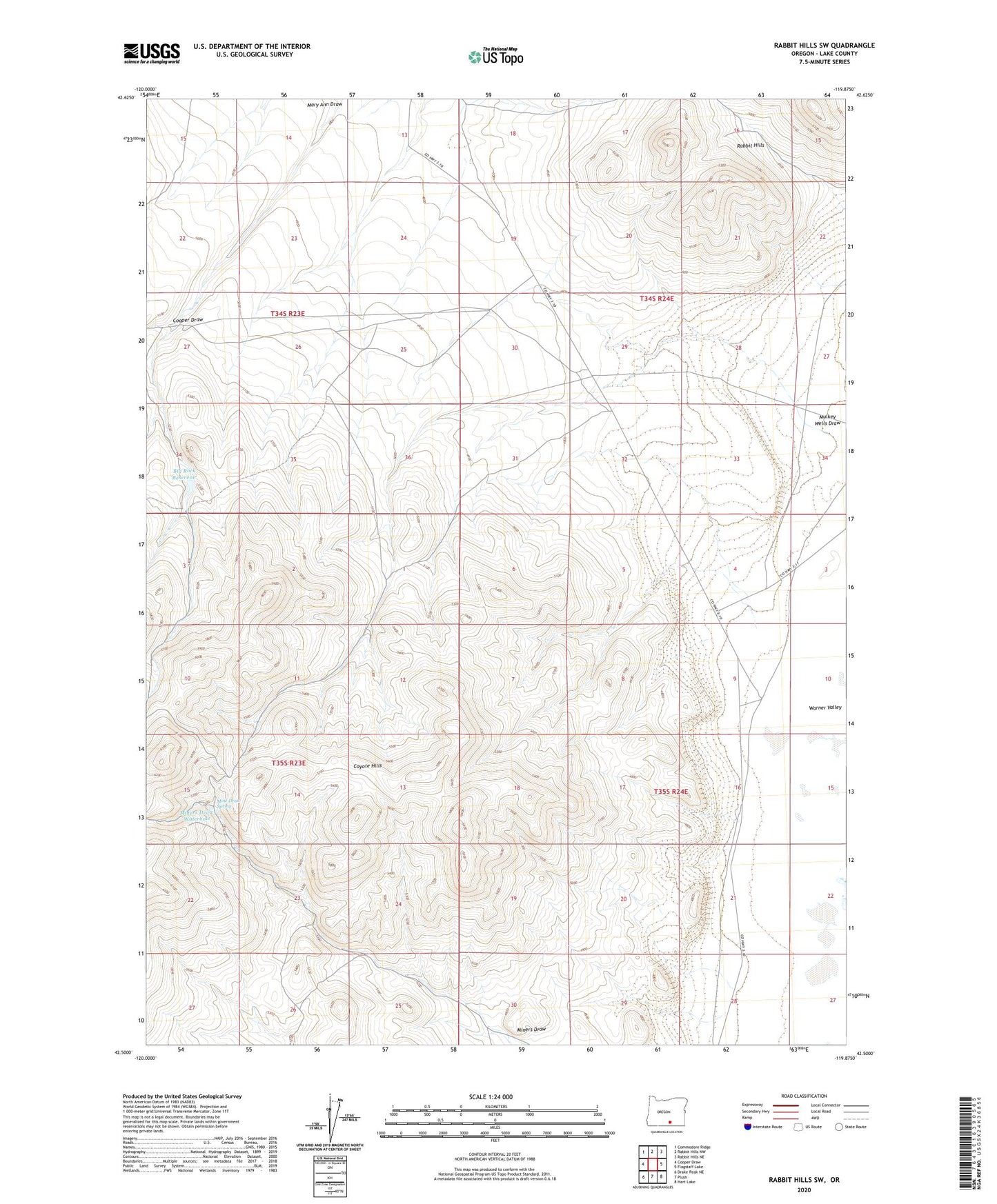
2020 topographic map quadrangle Rabbit Hills SW in the state of Oregon. Scale: 1:24000. Based on the newly updated USGS 7.5' US Topo map series, this map is in the following counties: Lake. The map contains contour data, water features, and other items you are used to seeing on USGS maps, but also has updated roads and other features. This is the next generation of topographic maps. Printed on high-quality waterproof paper with UV fade-resistant inks.
Quads adjacent to this one:
West: Cooper Draw
Northwest: Commodore Ridge
North: Rabbit Hills NW
Northeast: Rabbit Hills NE
East: Flagstaff Lake
Southeast: Hart Lake
South: Plush
Southwest: Drake Peak NE
Contains the following named places: Big Rock Dam, Big Rock Reservoir, Cooper Draw, Coyote Hills, Hogback Well, Mine Draw Spring, Miners Draw Waterhole, Mulkey Wells Draw