MyTopo
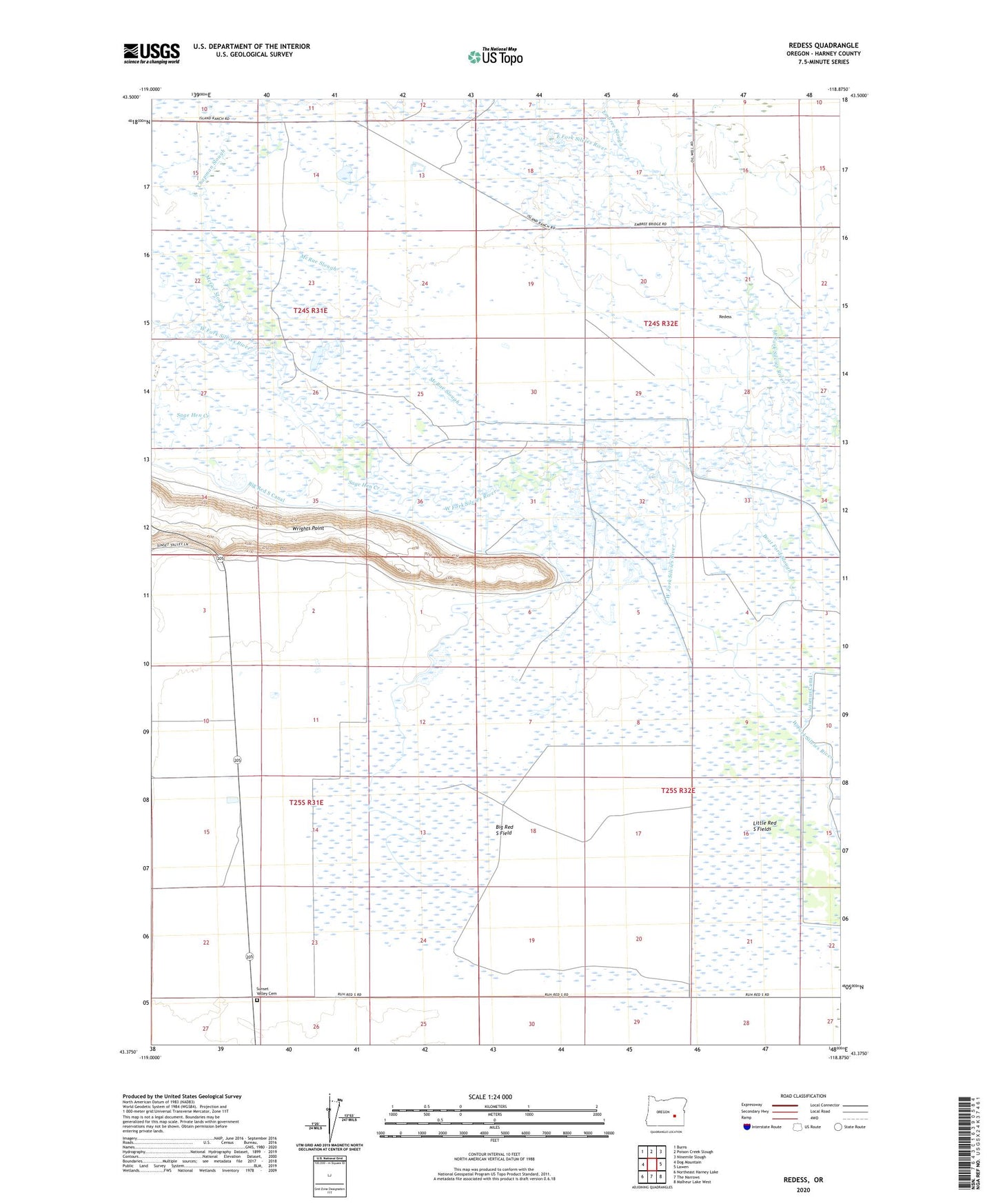
Redess Oregon US Topo Map
Couldn't load pickup availability
2023 topographic map quadrangle Redess in the state of Oregon. Scale: 1:24000. Based on the newly updated USGS 7.5' US Topo map series, this map is in the following counties: Harney. The map contains contour data, water features, and other items you are used to seeing on USGS maps, but also has updated roads and other features. This is the next generation of topographic maps. Printed on high-quality waterproof paper with UV fade-resistant inks.
Quads adjacent to this one:
West: Dog Mountain
Northwest: Burns
North: Poison Creek Slough
Northeast: Ninemile Slough
East: Lawen
Southeast: Malheur Lake West
South: The Narrows
Southwest: Northeast Harney Lake
This map covers the same area as the classic USGS quad with code o43118d8.
Contains the following named places: Adobe Camp, Big Red S Canal, Big Red S Field, Boat Ford Slough, Camp Wright, Chapman Slough, Embree Slough, Henney Post Office, Island Ranch, Little Red S Fields, McGee Slough, McRae Slough, Redess, Sage Hen Creek, Sunset Valley Cemetery, Wrights Point