MyTopo
Burns Oregon US Topo Map
Couldn't load pickup availability
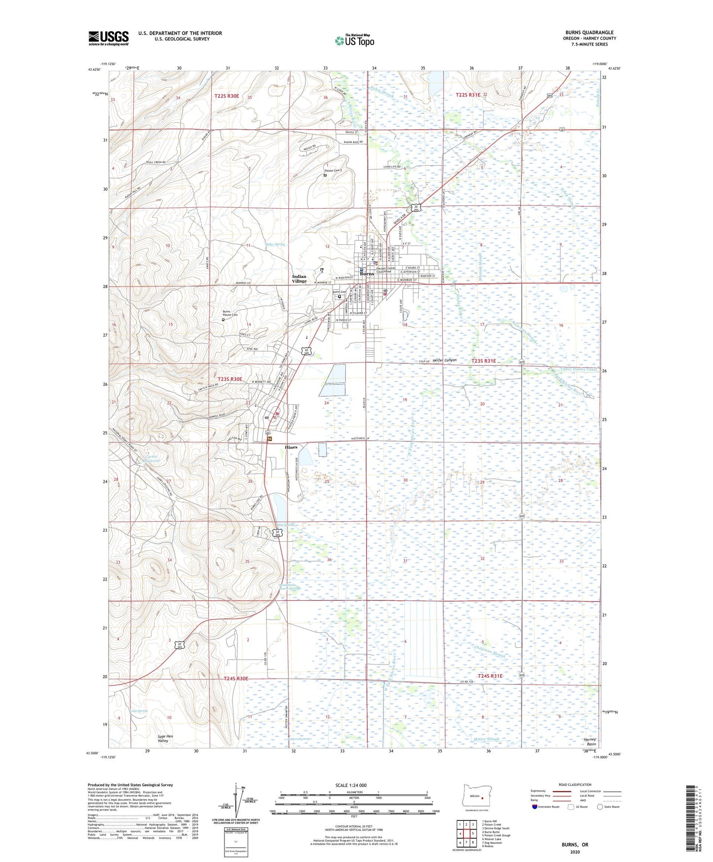
2023 topographic map quadrangle Burns in the state of Oregon. Scale: 1:24000. Based on the newly updated USGS 7.5' US Topo map series, this map is in the following counties: Harney. The map contains contour data, water features, and other items you are used to seeing on USGS maps, but also has updated roads and other features. This is the next generation of topographic maps. Printed on high-quality waterproof paper with UV fade-resistant inks.
Quads adjacent to this one:
West: Burns Butte
Northwest: Burns NW
North: Poison Creek
Northeast: Devine Ridge South
East: Poison Creek Slough
Southeast: Redess
South: Dog Mountain
Southwest: Weaver Lake
This map covers the same area as the classic USGS quad with code o43119e1.
Contains the following named places: Bell A Ranch, Bureau of Land Management Burns District Office, Burns, Burns Cemetery, Burns City Hall, Burns City Wells, Burns Fire Department, Burns High School, Burns Municipal Court, Burns Paiute Cemetery, Burns Police Department, Burns Post Office, Burns Sewer Treatment Plant, Carter Reservoir, City of Burns, City of Hines, Clemens Well, Davis Airstrip, Department of Motor Vehicles Burns, Eastern Oregon Youth Correctional Facility, Emigrant Creek Ranger Station, Filmore School, Harney Basin, Harney County Courthouse, Harney County Fairgrounds, Harney County Health Department, Harney County Historical Museum, Harney County Library, Harney County Road Department, Harney County Sheriff's Office, Harney District Hospital, Heifer Canyon, Henry L Slater Elementary School, Hines, Hines Airstrip, Hines City Hall, Hines City Park, Hines Fire Department, Hines Middle School, Hines Mill Pond, Hines Municipal Court, Hines Police Department, Hines Post Office, Hines Public Works Department, Hines Sewer Treatment Plant, Hot Spring, Hotchkiss Well, Indian Village, KRNS-AM, Lincoln Junior High School, Luig Spring, Miller Spring, Newman Slough, Oregon Agricultural Experimental Station, Paiute Cemetery 2, Paiute Dam, Paiute Reservoir, Poison Creek, Poison Creek Grange, Potters Swamp, Roadland Warm Springs, Rodeo, Silvies River, Sweek Dam, Triangle City Park, Washington City Park, Washington School, Whiting Slough, Y Y Ranch


