MyTopo
Rye Valley Oregon US Topo Map
Couldn't load pickup availability
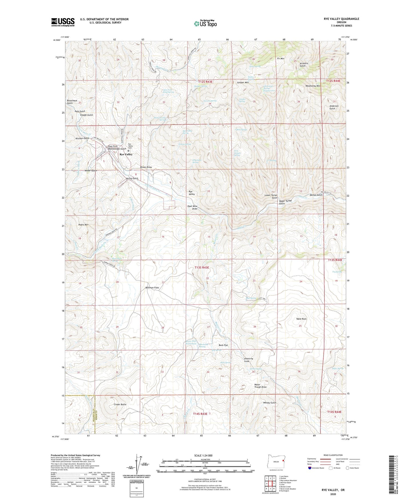
2023 topographic map quadrangle Rye Valley in the state of Oregon. Scale: 1:24000. Based on the newly updated USGS 7.5' US Topo map series, this map is in the following counties: Baker, Malheur. The map contains contour data, water features, and other items you are used to seeing on USGS maps, but also has updated roads and other features. This is the next generation of topographic maps. Printed on high-quality waterproof paper with UV fade-resistant inks.
Quads adjacent to this one:
West: Mormon Basin
Northwest: Lost Basin
North: Durkee
Northeast: Big Lookout Mountain
East: Lime
Southeast: Huntington
South: Birch Creek Meadow
Southwest: Becker Creek
This map covers the same area as the classic USGS quad with code o44117d4.
Contains the following named places: Abram Spring, Beaver Creek, Black Flat Spring, Black Rock Spring, Bog Spring, Bowman Flats, Brouchaux Gulch, Brown Draw, Brown Gulch Spring, Buck Flat, Buck Flat Waterhole, Buck Spring, Cinder Butte, Cinder Butte Well, Clough Gulch, Cloverleaf Spring Number Two, Colton Spring, Cosens Spring, Deer Creek, Dry Gulch Spring, Dumas Gulch, East Fork Rattlesnake Gulch, Fence Spring, Fir Mountain, First Canyon Spring, Hoffman Ranch, Huntington Division, Juniper Mountain, Juniper Spring, Kitchen Gulch, L T Spring, Lower Turner Gulch, Miller Spring, Mun Spring, North Dixie Ditch, North Fork Dixie Creek, Opal Mine Draw, Pedro Mountain, Pole Gulch, Quaker Spring, Rye Valley, Rye Valley Cemetery, Rye Valley Post Office, Rye Valley Spring, Shoestring Grade, South Dixie Ditch, South Fork Dixie Creek, Spring Gulch, Suitter Spring, Summit Spring, Table Mountain Well, Table Rock, Try Spring, Upper Turner Gulch, Weatherby Mountain, Weber Gulch, West Fork Road Spring


