MyTopo
Shop Gulch Oregon US Topo Map
Couldn't load pickup availability
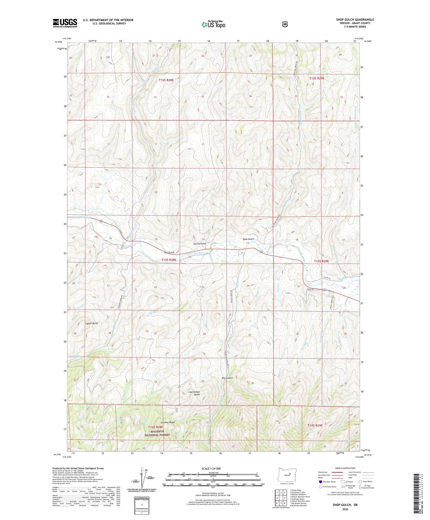
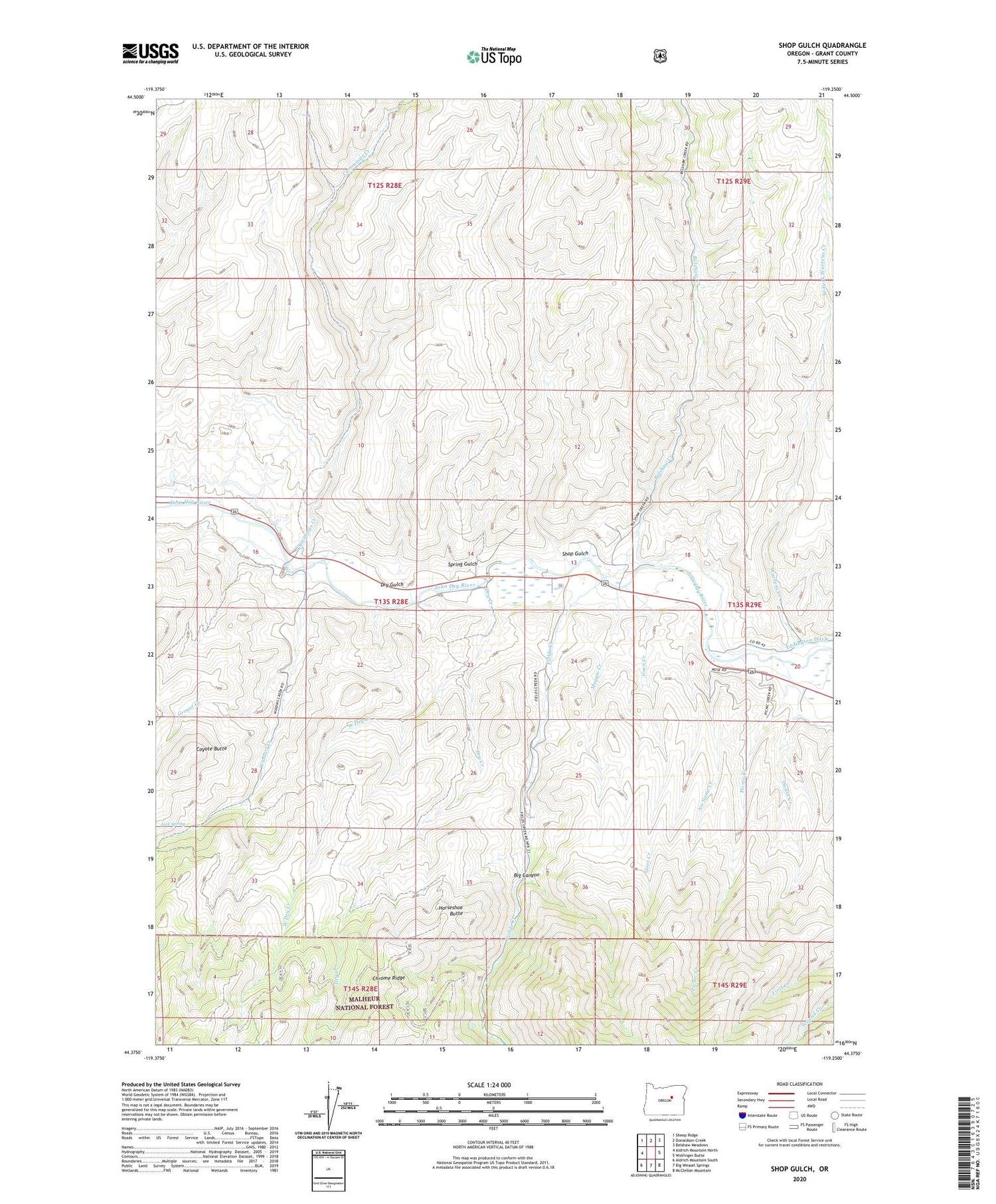
2020 topographic map quadrangle Shop Gulch in the state of Oregon. Scale: 1:24000. Based on the newly updated USGS 7.5' US Topo map series, this map is in the following counties: Grant. The map contains contour data, water features, and other items you are used to seeing on USGS maps, but also has updated roads and other features. This is the next generation of topographic maps. Printed on high-quality waterproof paper with UV fade-resistant inks.
Quads adjacent to this one:
West: Aldrich Mountain North
Northwest: Sheep Ridge
North: Donaldson Creek
Northeast: Belshaw Meadows
East: Wolfinger Butte
Southeast: McClellan Mountain
South: Big Weasel Springs
Southwest: Aldrich Mountain South
Contains the following named places: Belshaw Creek, Big Canyon, Coyote Butte, Cummings Creek, Dry Creek, Dry Gulch, Dustin Creek, East Fork Warrens Creek, Eddington Ditch, Fields Creek, Glascock Ranch, Goen Creek, Grouse Creek, Horseshoe Butte, John Day Division, Lick Spring, Magpie Creek, Moores Crossing, Mountain View School, No Name Creek, Picnic Creek, Shop Gulch, Spring Gulch, Warrens Creek, West Dry Creek, West Fork Warrens Creek, Widows Creek, Widows Creek Burn