MyTopo
Big Weasel Springs Oregon US Topo Map
Couldn't load pickup availability
Also explore the Big Weasel Springs Forest Service Topo of this same quad for updated USFS data
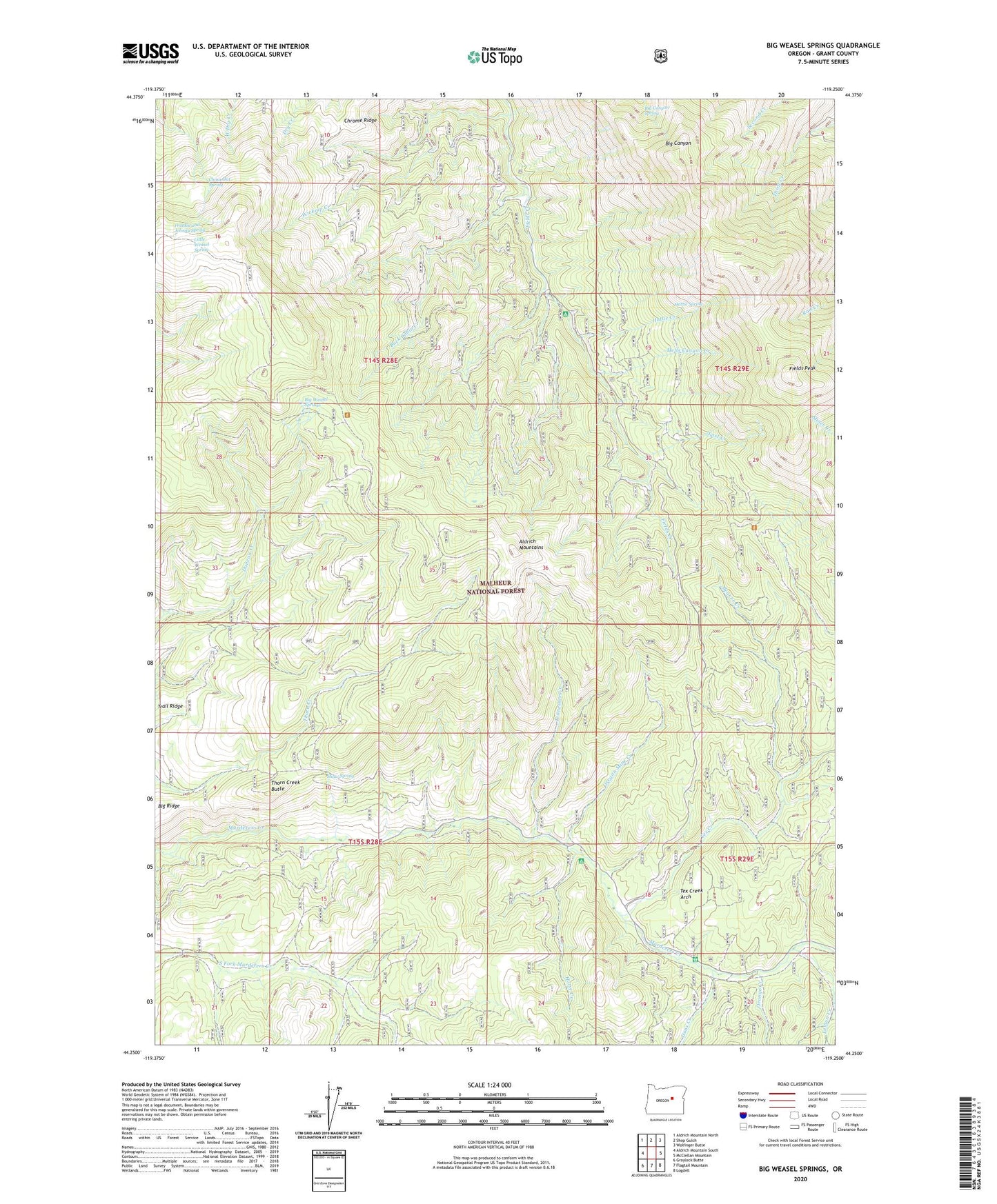
2023 topographic map quadrangle Big Weasel Springs in the state of Oregon. Scale: 1:24000. Based on the newly updated USGS 7.5' US Topo map series, this map is in the following counties: Grant. The map contains contour data, water features, and other items you are used to seeing on USGS maps, but also has updated roads and other features. This is the next generation of topographic maps. Printed on high-quality waterproof paper with UV fade-resistant inks.
Quads adjacent to this one:
West: Aldrich Mountain South
Northwest: Aldrich Mountain North
North: Shop Gulch
Northeast: Wolfinger Butte
East: McClellan Mountain
Southeast: Logdell
South: Flagtail Mountain
Southwest: Graylock Butte
This map covers the same area as the classic USGS quad with code o44119c3.
Contains the following named places: Beaver Creek, Big Canyon Spring, Big Weasel Springs, Billy Fields Recreation Site, Buck Cabin, Buck Cabin Creek, Buck Cabin Trail, Cedar Grove Botanical Area, China Hat Spring, Chrome Ridge, Dans Creek, Dry Creek Butte, Fields Peak, Frankie and Johnny Spring, Hattie Creek, Hattie Spring, Hells Canyon Creek, Horse Creek, Last Camp, Last Creek, Lemon Cabin, Lemon Creek, Little Weasel Spring, Murderers Creek Forest Service Station, Orange Creek, Oregon Mine, Oregon Mine Camp, Oregon Mine Creek, Oregon Mine Recreation Site, Separation Corrals Camp, Shaw Spring, Stewart Cabin, Tennessee Creek, Tex Creek, Tex Creek Arch, Thorn Creek Butte, Wickiup Creek