MyTopo
Squaw Lakes Oregon US Topo Map
Couldn't load pickup availability
Also explore the Squaw Lakes Forest Service Topo of this same quad for updated USFS data
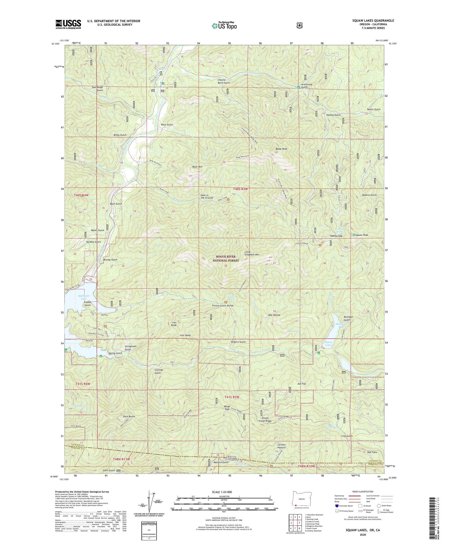
2024 topographic map quadrangle Squaw Lakes in the states of Oregon, California. Scale: 1:24000. Based on the newly updated USGS 7.5' US Topo map series, this map is in the following counties: Jackson, Siskiyou. The map contains contour data, water features, and other items you are used to seeing on USGS maps, but also has updated roads and other features. This is the next generation of topographic maps. Printed on high-quality waterproof paper with UV fade-resistant inks.
Quads adjacent to this one:
West: Carberry Creek
Northwest: Tallowbox Mountain
North: Ruch
Northeast: Sterling Creek
East: Dutchman Peak
Southeast: Condrey Mountain
South: Dutch Creek
Southwest: Kangaroo Mountain
This map covers the same area as the classic USGS quad with code o42123a1.
Contains the following named places: Applegate Dam, Armstrong Gulch, Ash Flat, Baldy Peak, Beaver Creek, Beaver Sulphur Recreation Site, Billys Gulch, Brushy Gulch, Buck Gulch, Calsh Trail, Carlton Pasture, Charlie Buck Gulch, Collings Gulch, Curiosity Spring, Daffodil Mine, Dividend Bar, Doe Hollow, Flume Gulch, Flumet Flat Recreation Site, French Gulch, French Gulch Divide, French Gulch Recreation Site, Hanley Gap, Hanley Gulch, Harr Point Recreation Site, Hole in the Ground, Iron Hand, Iron Knob, Jackson Recreation Site, Kanaka Gulch, Kilgore Gulch, Kilgore Spring, Kinney Creek, Latgawa Cove Recreation Site, Little Grayback Mountain, Lyman Creek, Mallard Gulch, Mingo Gap, Mud Spring, Mule Creek, Mule Mountain, Mulligan Bay, Mulligan Bay Campground, Mulligan Gulch, Oak Flats, Palmer Creek, Placer Mine, Placer Recreation Site, Rock Gulch, Slickear Creek, Sourdough Gulch, Spring Gulch, Squaw Creek, Squaw Lakes, Squaw Lakes Dam, Squaw Lakes Recreation Site, Squaw Peak, Stein Butte, Stringtown Gulch, Stringtown Recreation Site, Summit Lake, Swayne Viewpoint, Texter Gulch, Tipsu Tyee Recreation Site, United States Forest Service French Gulch Boat Ramp, Water Gulch, Wright, Wright Post Office


