MyTopo
Ruch Oregon US Topo Map
Couldn't load pickup availability
Also explore the Ruch Forest Service Topo of this same quad for updated USFS data
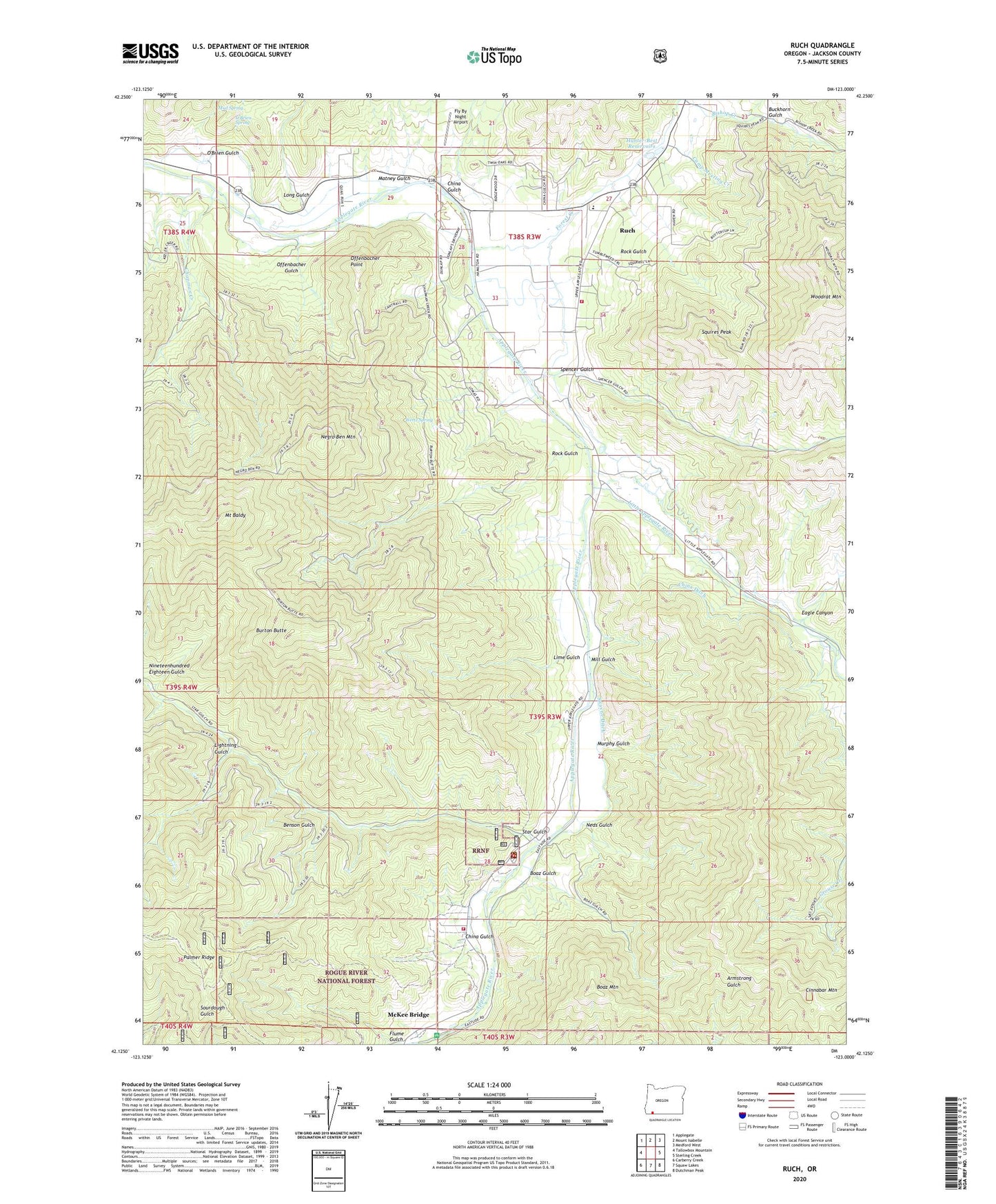
2024 topographic map quadrangle Ruch in the state of Oregon. Scale: 1:24000. Based on the newly updated USGS 7.5' US Topo map series, this map is in the following counties: Jackson. The map contains contour data, water features, and other items you are used to seeing on USGS maps, but also has updated roads and other features. This is the next generation of topographic maps. Printed on high-quality waterproof paper with UV fade-resistant inks.
Quads adjacent to this one:
West: Tallowbox Mountain
Northwest: Applegate
North: Mount Isabelle
Northeast: Medford West
East: Sterling Creek
Southeast: Dutchman Peak
South: Squaw Lakes
Southwest: Carberry Creek
This map covers the same area as the classic USGS quad with code o42123b1.
Contains the following named places: Applegate Ranger Station, Applegate Valley Rural Fire Protection District 9 Station 2, Applegate Valley Rural Fire Protection District 9 Station 3 Headquarters, Ben Johnson Mountain, Benson Gulch, Bishop Creek, Boaz Gulch, Boaz Mountain, Buckhorn Gulch, Burton Butte, Cameron, Camp Meeting Creek, Cantrall Buckley County Park, Chapman Creek, China Ditch, China Gulch, Cinnabar Lookout, Cinnabar Mountain, Cornstock Ditch, Eagle Canyon, Fly By Night Airport, Forest Creek, Forrest Post Office, Hunter-Best Reservoirs, Lightning Gulch, Lime Gulch, Little Applegate River, Long Gulch, Matney Gulch, McKee Bridge, McKee Bridge Recreation Site, Mill Gulch, Mount Baldy, Mud Spring, Murphy Gulch, Neds Gulch, Nineteenhundred Eighteen Gulch, O'Brien Gulch, O'Brien Spring, Offenbacher Gulch, Offenbacher Point, Pursel Post Office, Rock Gulch, Rogue River Siskiyou National Forest Law Enforcement Jacksonville, Ruch, Ruch Branch Library, Ruch Census Designated Place, Ruch Elementary School, Ruch Post Office, Spencer Gulch, Squires Peak, Star Gulch, Swayne Ditch, Uniontown Post Office, United States Forest Service Applegate Ranger District, Wertz Spring, Woodrat Mountain, ZIP Code: 97530


