MyTopo
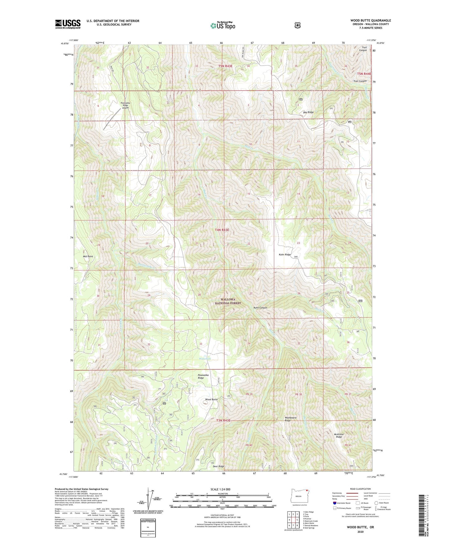
Wood Butte Oregon US Topo Map
Couldn't load pickup availability
Also explore the Wood Butte Forest Service Topo of this same quad for updated USFS data
2023 topographic map quadrangle Wood Butte in the state of Oregon. Scale: 1:24000. Based on the newly updated USGS 7.5' US Topo map series, this map is in the following counties: Wallowa. The map contains contour data, water features, and other items you are used to seeing on USGS maps, but also has updated roads and other features. This is the next generation of topographic maps. Printed on high-quality waterproof paper with UV fade-resistant inks.
Quads adjacent to this one:
West: Promise
Northwest: Eden Ridge
North: Troy
Northeast: Flora
East: Shamrock Creek
Southeast: Sled Springs
South: Sherod Meadows
Southwest: Akers Butte
This map covers the same area as the classic USGS quad with code o45117g4.
Contains the following named places: Bobcat Creek, Buck Creek, Crooked Neck Creek, Ditch Creek, Kuhn Canyon, McAlister Creek, Powwatka Ridge Airport, Rattlesnake Creek, Tope Creek, Trail Canyon, Wallupa Creek, Waterhole, Wood Butte