MyTopo
Eden Ridge Oregon US Topo Map
Couldn't load pickup availability
Also explore the Eden Ridge Forest Service Topo of this same quad for updated USFS data
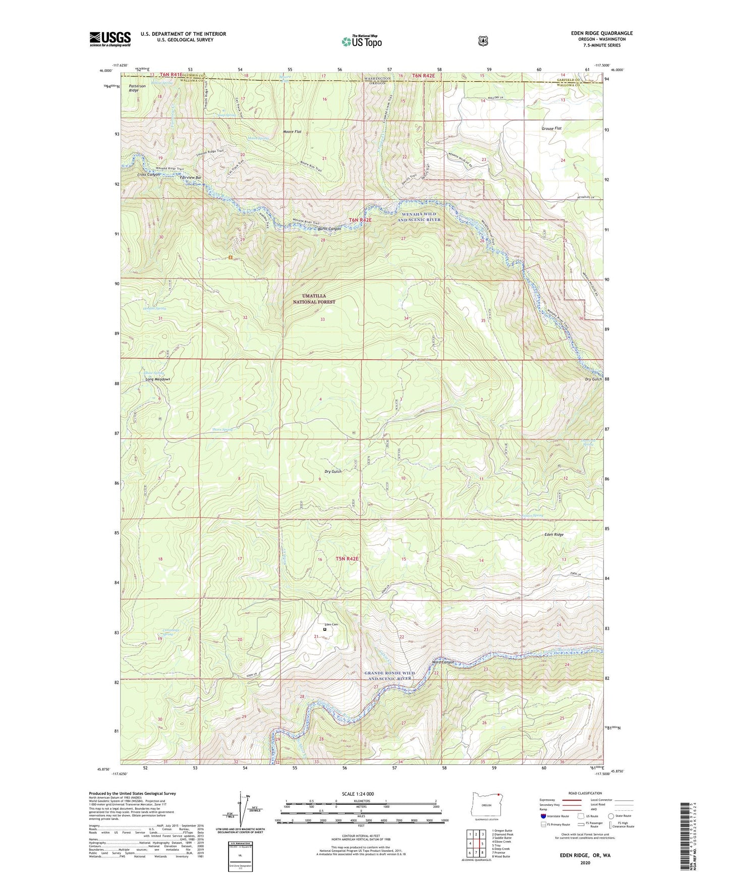
2023 topographic map quadrangle Eden Ridge in the state of Oregon. Scale: 1:24000. Based on the newly updated USGS 7.5' US Topo map series, this map is in the following counties: Wallowa, Garfield, Columbia. The map contains contour data, water features, and other items you are used to seeing on USGS maps, but also has updated roads and other features. This is the next generation of topographic maps. Printed on high-quality waterproof paper with UV fade-resistant inks.
Quads adjacent to this one:
West: Elbow Creek
Northwest: Oregon Butte
North: Diamond Peak
Northeast: Saddle Butte
East: Troy
Southeast: Wood Butte
South: Promise
Southwest: Deep Creek
Contains the following named places: Bobcat Spring, Burnt Canyon, Cabin Creek, Crooked Creek, Cross Canyon, Cummings Spring, Dan Cold Spring, Eden, Eden Cemetery, Eden Community Hall, Eden Post Office, Eden Ridge, Elbow Spring, Fairview Bar, Fairview Creek, Fenton Spring, Hoodoo Lookout Tower, Hoodoo Spring, Long Meadows, Long Meadows Guard Station, Moore Flat, Moore Spring, Sickfoot Creek, Soap Spring, Thorn Spring, Ward Canyon, Wenaha Wild And Scenic River