MyTopo
Bernville Pennsylvania US Topo Map
Couldn't load pickup availability
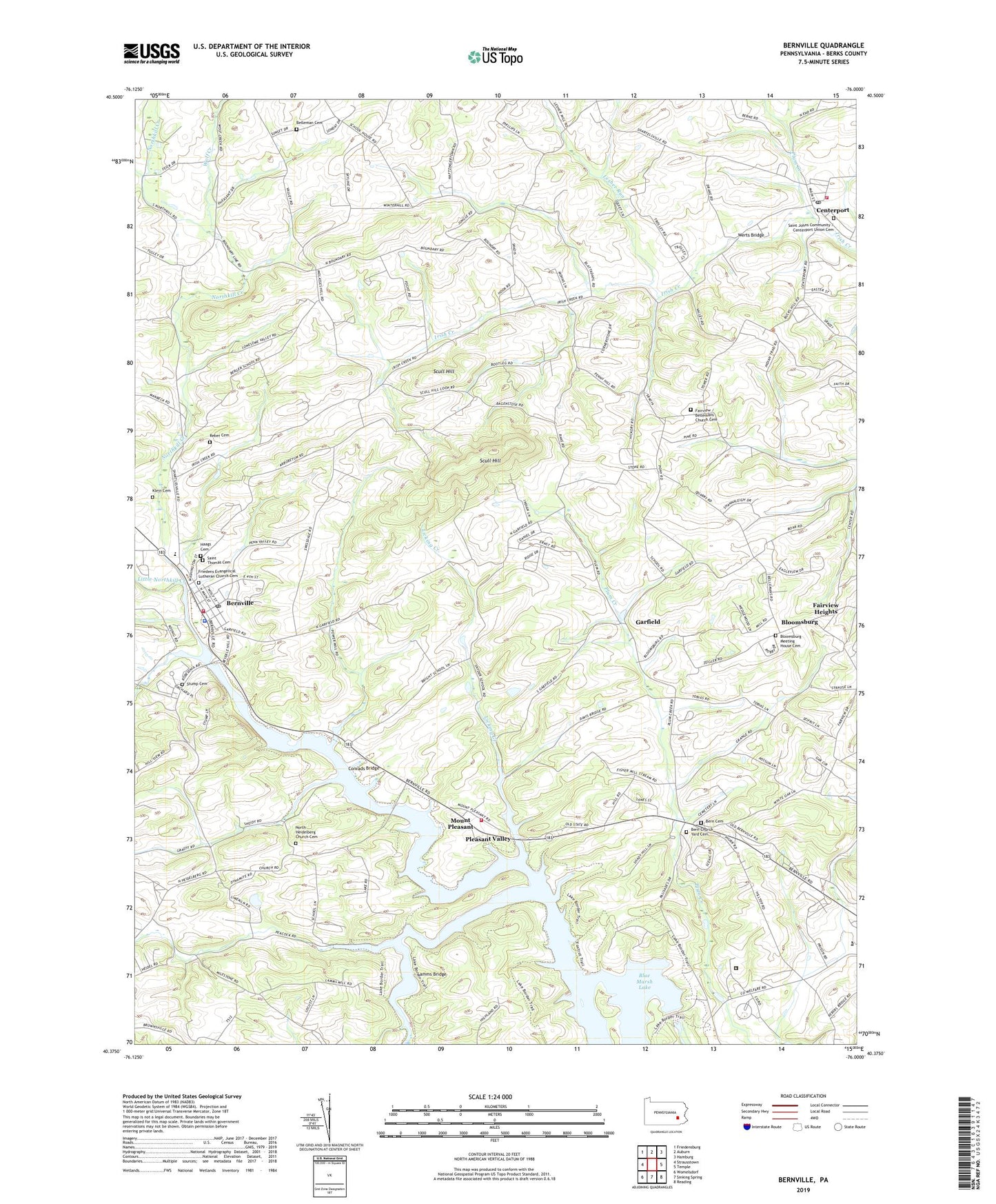
2023 topographic map quadrangle Bernville in the state of Pennsylvania. Scale: 1:24000. Based on the newly updated USGS 7.5' US Topo map series, this map is in the following counties: Berks. The map contains contour data, water features, and other items you are used to seeing on USGS maps, but also has updated roads and other features. This is the next generation of topographic maps. Printed on high-quality waterproof paper with UV fade-resistant inks.
Quads adjacent to this one:
West: Strausstown
Northwest: Friedensburg
North: Auburn
Northeast: Hamburg
East: Temple
Southeast: Reading
South: Sinking Spring
Southwest: Womelsdorf
This map covers the same area as the classic USGS quad with code o40076d1.
Contains the following named places: Arthur Degler Farm Burials, Bellemans Church, Bellemans Church Cemetery, Berks Career and Technical Center-West Campus, Berks County 4-H Center, Berks County Agricultural Center, Berks County Home and Hospital, Berks County New Heim, Berks County Old Heim Annex, Berks County Prison, Berks County Recycling Center, Berks County Sanatorium, Berks County Youth Center, Bern Cemetery, Bern Church, Bern Church Yard Cemetery, Bern School, Bernville, Bernville Area Community Library, Bernville Boro Police Department, Bernville Borough Hall, Bernville Community Fire Company, Bernville Post Office, Bethel Community Ambulance Station 2, Bloomsburg, Bloomsburg Meeting House Cemetery, Blue Marsh Bernville Levee, Blue Marsh Dam, Blue Marsh Dike A, Blue Marsh Dike B, Blue Marsh Lake, Blue Marsh Lake Hiking Trail, Blue Marsh Lake National Recreation Area, Blue Marsh Lake Stilling Basin, Blue Marsh Lake Visitors Center, Blue Marsh Ski Resort, Borough of Bernville, Borough of Centerport, Camp Joy, Centerport, Centerport Post Office, Central Berks Fire Company 1 Station 38, Conrad House, Conrads Bridge, Detention Basin Number One, Detention Basin Number Two, Dry Brooks Boat Launch, Dry Brooks Day-Use Area, Eyes of the Eagle Sensory Trail, Fairview Heights, Fox Lake, Fox Lake Dam, Foxtrot Hiking Loop, Friedens Evangelical Lutheran Church, Friedens Evangelical Lutheran Church Cemetery, Garfield, Great Oak Nature Trail, Green Acres Golf Course, Haags Cemetery, Heidelberg Country Club, Jefferson Park, Kisslings Field, Klein Cemetery, Lamms Bridge, Lesher Run, Licking Creek, Little Northkill Creek, Malmo Airport, Mollhead Creek, Mount Pleasant, Mount Pleasant Fire Company Station 30, North Heidelberg Church, North Heidelberg Church Cemetery, Northkill Creek, Penn Township Hall, Penn-Bernville Elementary School, Pleasant Valley, Plum Creek, Reading Fairgrounds, Reber Cemetery, Saint Johns Community Cemetery, Saint Thomas Cemetery, Saint Thomas United Church of Christ, Scull Hill, Sheidy Boat Launch, Skinners Loops, Spring Creek, Stanton Clay Park, Stump Cemetery, Township of Centre, Township of North Heidelberg, Township of Penn, Umbenhauer Park, Werts Bridge, Willow Hollow Golf Course, Wolf Creek, ZIP Code: 19541