MyTopo
Auburn Pennsylvania US Topo Map
Couldn't load pickup availability
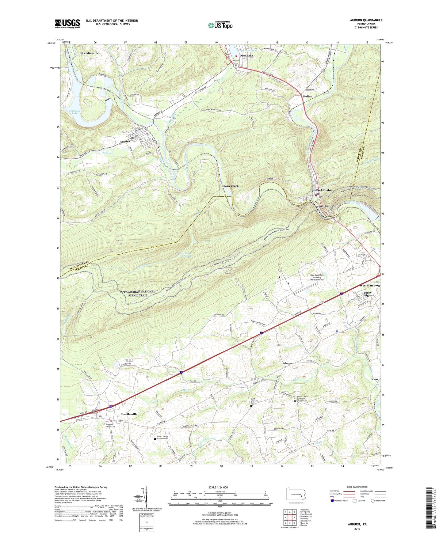
2023 topographic map quadrangle Auburn in the state of Pennsylvania. Scale: 1:24000. Based on the newly updated USGS 7.5' US Topo map series, this map is in the following counties: Berks, Schuylkill. The map contains contour data, water features, and other items you are used to seeing on USGS maps, but also has updated roads and other features. This is the next generation of topographic maps. Printed on high-quality waterproof paper with UV fade-resistant inks.
Quads adjacent to this one:
West: Friedensburg
Northwest: Pottsville
North: Orwigsburg
Northeast: New Ringgold
East: Hamburg
Southeast: Temple
South: Bernville
Southwest: Strausstown
This map covers the same area as the classic USGS quad with code o40076e1.
Contains the following named places: Appalachian Campsites, Auburn, Auburn Dam, Auburn Fire Company District 39 Station 1, Auburn Post Office, Auburn Reservoir, Berne, Blue Mountain Academy (Private) Airport, Blue Mountain Academy High School, Blue Mountain Seventh Day Adventist Elementary School, Borough of Auburn, Borough of Deer Lake, Borough of Port Clinton, Deer Lake and West Brunswick Township Fire Company District 42 Station 1, Deer Lake Dam, Deer Lake Fossil Site, Deer Lake Pond, Friedens Union Cemetery, Friedens Union Church, Frog Pond, Hamburg Community Seventh-Day Adventist Church, Hassler Run, Jalappa, Jefferson School, Little Schuylkill River, Mangel School, Mill Creek, Molino, Mountain Springs Camping Resort, New Kernsville Dam, New Kernsville Lake, Pennsylvania State Police Troop L Hamburg Station, Pine Creek, Plum Creek, Port Clinton, Port Clinton Fire Company Station 77, Port Clinton Post Office, Rattling Run, Red Creek, Roadside America, Saint Michaels Church, Saint Michael's Union Cemetery, Salem - Berne Methodist Church Cemetery, Salem Church, Schuylkill Gap, Seifert Family Burial Ground, Shartlesville, Shartlesville Census Designated Place, Shartlesville Community Fire Company 1 Station 41, Shartlesville Community Park, Shartlesville Post Office, Stairway Lake, State Game Lands Number 110, Stony Creek, Tilden Elementary School, Tilden Township Police Department, Township of Tilden, Township of Upper Bern, Tunnel School, Upper Bern Elementary School, West Hamburg, West Hamburg Census Designated Place, Windswept Aerodrome, Wolfe Run, Yoder Heights, ZIP Codes: 17922, 19549, 19554


