MyTopo
Strausstown Pennsylvania US Topo Map
Couldn't load pickup availability
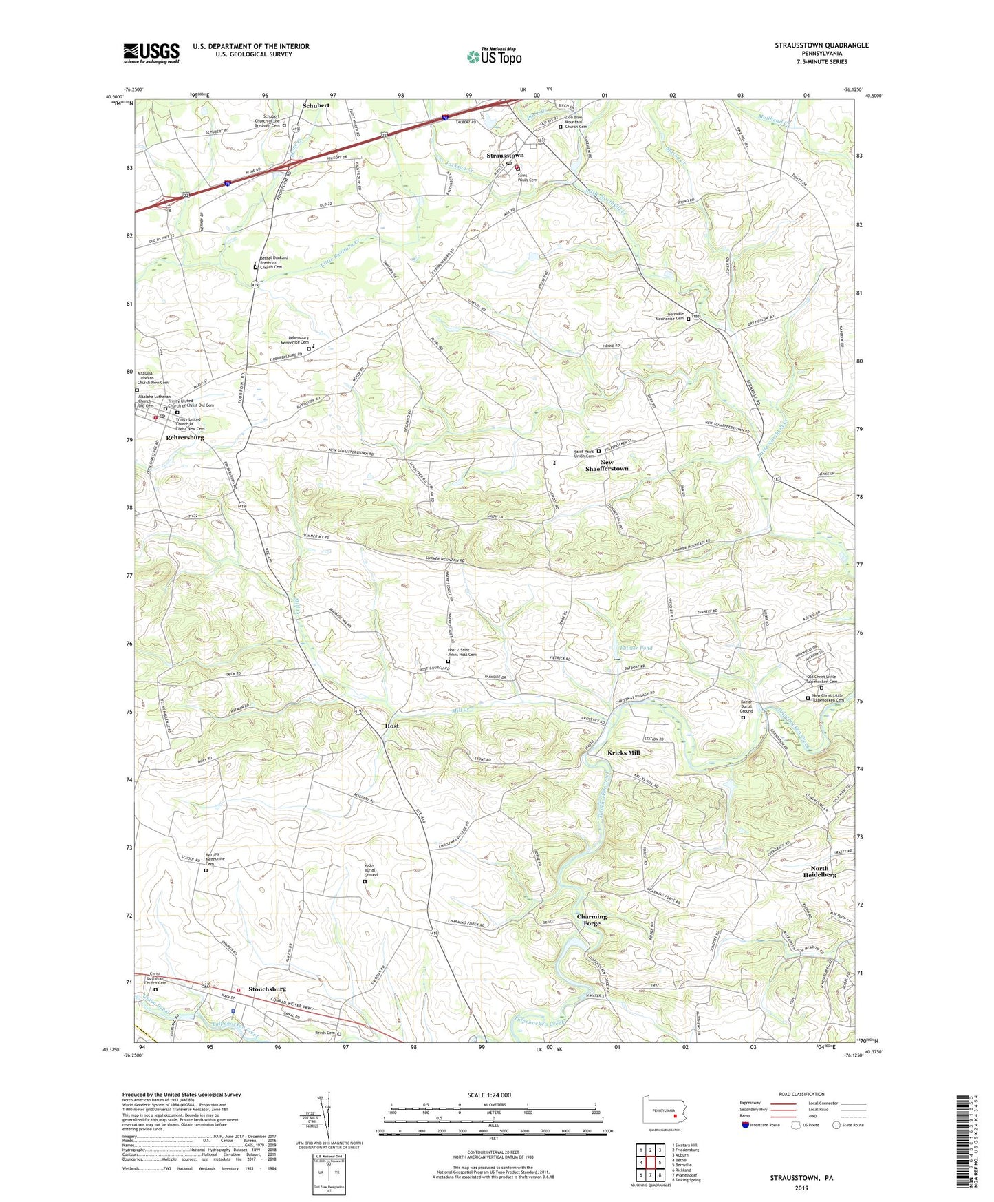
2023 topographic map quadrangle Strausstown in the state of Pennsylvania. Scale: 1:24000. Based on the newly updated USGS 7.5' US Topo map series, this map is in the following counties: Berks, Lebanon. The map contains contour data, water features, and other items you are used to seeing on USGS maps, but also has updated roads and other features. This is the next generation of topographic maps. Printed on high-quality waterproof paper with UV fade-resistant inks.
Quads adjacent to this one:
West: Bethel
Northwest: Swatara Hill
North: Friedensburg
Northeast: Auburn
East: Bernville
Southeast: Sinking Spring
South: Womelsdorf
Southwest: Richland
This map covers the same area as the classic USGS quad with code o40076d2.
Contains the following named places: Altalaha Lutheran Church New Cemetery, Anthony Desilting Dam, Anthony Mill Dam, Bernville Mennonite Cemetery, Bethel Dunkard Brethren Church Cemetery, Birch Creek, Borough of Strausstown, Charming Forge, Christ Lutheran Church, Christ Lutheran Church Cemetery - New, Christmas Village, Host, Host Cemetery, Jackson Creek, Keystone Fire Company Rehrersburg Station 27, Koziar Burial Ground, Kricks Mill, Little Tulpehocken Church, Marion Fire Company Stouchsburg Station 52, Marion Township Park, Marion Township Police Department, Martins Mennonite Cemetery, Martins Mennonite Church, Mill Creek, Millers School, New Christ Little Tulpehocken Cemetery, New Schaefferstown Census Designated Place, New Shaefferstown, North Heidelberg, Old Charming Forge Dam, Old Christ Little Tulpehocken Cemetery, Palmer Dam, Palmer Pond, Reeds Cemetery, Rehrersburg, Rehrersburg Census Designated Place, Rehrersburg Lions Park, Rehrersburg Mennonite Church Cemetery, Rehrersburg Post Office, Saint Johns Church, Saint Paul's Cemetery, Saint Pauls Union Cemetery, Saint Pauls United Church of Christ, Schubert, Schubert Census Designated Place, Schubert Church of the Brethren Cemetery, Spring Creek, Stone Creek, Stouchsburg, Stouchsburg Census Designated Place, Strausstown, Strausstown Census Designated Place, Strausstown Elementary School, Strausstown Lions Park, Strausstown Post Office, Strausstown Volunteer Fire Company Station 50, Summer Mountain School, Sundays Mill Dam, Teen Challenge Training Center, Township of Jefferson, Township of Marion, Trinity United Church of Christ, Trinity United Church of Christ Cemetery, Trinity United Church of Christ Cemetery - New, Tulpehocken Area Junior-Senior High School, Upper Tulpehocken Township Building, Wagners School, Yoder Burial Ground, Zion Blue Mountain Church, Zion Church Cemetery, ZIP Codes: 19506, 19550, 19559, 19567


