MyTopo
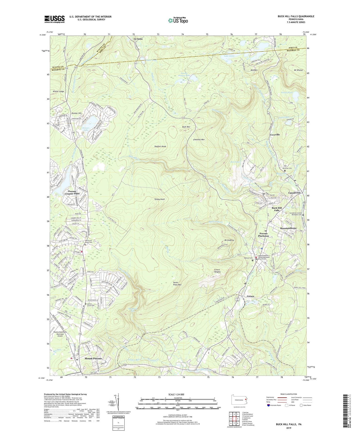
Buck Hill Falls Pennsylvania US Topo Map
Couldn't load pickup availability
2023 topographic map quadrangle Buck Hill Falls in the state of Pennsylvania. Scale: 1:24000. Based on the newly updated USGS 7.5' US Topo map series, this map is in the following counties: Monroe, Pike, Wayne. The map contains contour data, water features, and other items you are used to seeing on USGS maps, but also has updated roads and other features. This is the next generation of topographic maps. Printed on high-quality waterproof paper with UV fade-resistant inks.
Quads adjacent to this one:
West: Tobyhanna
Northwest: Sterling
North: Newfoundland
Northeast: Promised Land
East: Skytop
Southeast: East Stroudsburg
South: Mount Pocono
Southwest: Pocono Pines
This map covers the same area as the classic USGS quad with code o41075b3.
Contains the following named places: Barclay White Dam, Barrett Township Fire Company Station 22, Barrett Township Police Department, Barrett Volunteer Ambulance Corps Station 2 Mountainhome, Birch Lake, Brodhead Creek SCS Dam 466, Buck Hill Creek, Buck Hill Dam, Buck Hill Falls, Buck Hill Falls Post Office, Bush Mountain, Canadensis, Canadensis Post Office, Canadensis United Methodist Cemetery, Chestnut Mountain, Coolbaugh Township Volunteer Fire Company 25 Station 2, Coveville, Cresco, Cresco Heights, Cresco Post Office, Cross Dam, Deer Lake, Devils Hole Creek, Dresser Hill, Dresser Lake, Geissinger Dam, Goose Pond Run, Gravel Pond, Griscom Creek, Harriton Dam, Jamie Lake Dam, Keeney Dam, Kistler Ledge, Korner School, Kresge Dam, La Anna, Lake Carobeth, Lake in the Clouds, Lake Jamie, Lake Jamie Dam, Lake-In-The-Clouds Dam, Lakes in the Clouds Dam, Laurel Run, Leavitt Branch, Middle Branch Brodhead Creek, Middle Mountain, Mill Creek Dam, Moravian Cemetery, Mount Godfrey, Mount Pocono Golf Course, Mount Pocono Post Office, Mount Wismer, Mountainhome, Mountainhome Census Designated Place, Mountainhome Post Office, Mountainhome School, Mountainhome United Methodist Church Cemetery, Mushroom Farms, Naus and Newlyn Dam, North and South Cemetery, Oakland Cemetery, Onawa Lake, PA-446 Dam, Paradise Crossing, Pocono Country Place, Pocono Farms East, Pocono Mission School, Pocono Mountain Regional Emergency Medical Services Station 11 - 1, Pocono Mountain Volunteer Fire Company Station 32, Pocono Mountains Municipal Airport, Pocono Plateau Lake, Pocono Playhouse, Rattlesnake Creek, Rocky Hill Ultralight Flightpark, Saint Anns Church, Schane Dam, Seven Pines Mountain, Seventeenmile Creek, Shaffers Knob, Spruce Grove Cemetery, Spruce Mountain Run, State Game Lands Number 221, Tank Creek, Taylor Pond, Taylor Pond Dam, The Devils Hole, Tobyhanna State Park, Turkey Knoll, Westbrook Dam, Yankee Run, ZIP Codes: 18323, 18326, 18342, 18460


