MyTopo
East Stroudsburg Pennsylvania US Topo Map
Couldn't load pickup availability
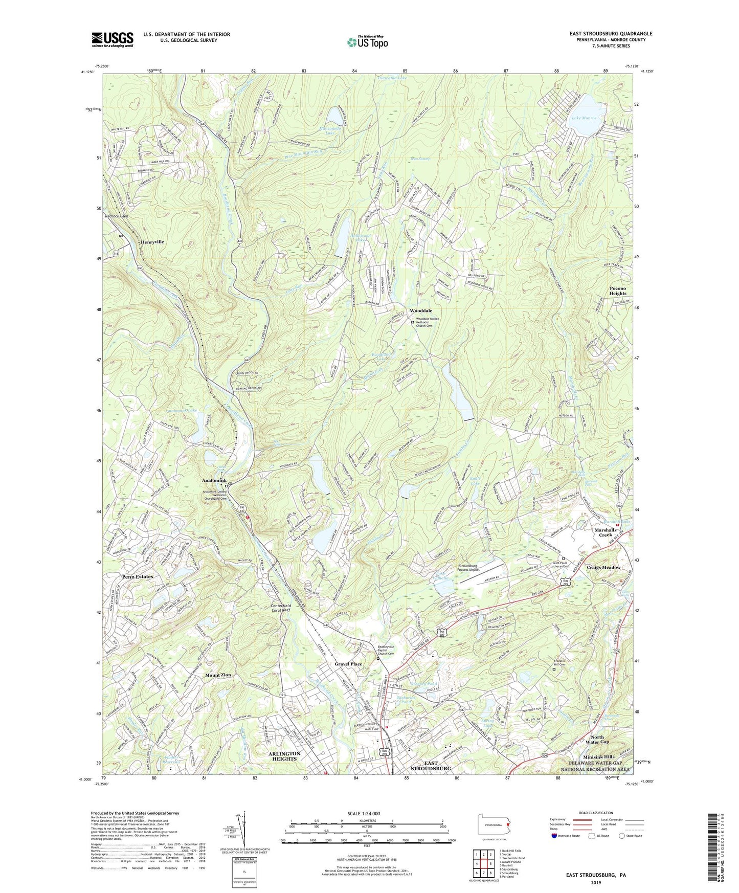
2023 topographic map quadrangle East Stroudsburg in the state of Pennsylvania. Scale: 1:24000. Based on the newly updated USGS 7.5' US Topo map series, this map is in the following counties: Monroe. The map contains contour data, water features, and other items you are used to seeing on USGS maps, but also has updated roads and other features. This is the next generation of topographic maps. Printed on high-quality waterproof paper with UV fade-resistant inks.
Quads adjacent to this one:
West: Mount Pocono
Northwest: Buck Hill Falls
North: Skytop
Northeast: Twelvemile Pond
East: Bushkill
Southeast: Portland
South: Stroudsburg
Southwest: Saylorsburg
This map covers the same area as the classic USGS quad with code o41075a2.
Contains the following named places: Alpine Mountain Ski Area, Analomink, Analomink Dam, Analomink Lake, Analomink Post Office, Analomink United Methodist Churchyard Cemetery, Arlington Heights Census Designated Place, Beakleyville Baptist Church Cemetery, Beakleyville Church, Bear Swamp Run, Bear Swamp School, Berean Church, Blue Mountain Camps, Blue Mountain Lake, Blue Mountain Lake Dam, Borough of East Stroudsburg, Brown School, Brushy Mountain School, Bushkill Emergency Corps Station 3 Foxmoor Station, Bushkill Emergency Corps Station 3 Marshalls Creek Station, Buttermilk Falls, Butz Run, Calvary Bible Church, Candle Creek, Centerfield Coral Reef, Clarke Falls, Clearview School, Craigs Meadow, Cranberry Creek, Delaware State Forest, Eagle Lake, East Stroudsburg Dam, East Stroudsburg Fire Department - Acme Hose Company Station 21, East Stroudsburg Presbyterian Church, East Stroudsburg Reservoir, East Stroudsburg Senior High School, Evergreen Park Golf Course, Flagler Reservoir, Fowler School, Franklin Hill Cemetery, Franklin Hill School, Gravel Place, Gregory Pond, Hallowood Lake, Hallowood Lake Dam, Henryville, Henryville Post Office, Hiawatha Dam, Holy Trinity Church, Ivan Swamp, J M Hill Elementary School, J S Bunnell Junior High School, Kings Dam, Lake Monroe, Lake Valhalla, Leas Run, Lee Falls, Leigh Valley MedEvac 2, Lesoine School, Lower Dam Sambo Creek, Manzanedo Dam, Manzanedo Lake, Marshall Falls, Marshall Lake Dam, Marshalls Creek, Marshalls Creek Fire Company Station 29, Marshalls Falls, Maryanedo Dam, Meesing Nature Center, Michael Creek, Middle Dam, Monroe Lake, Monroe Lake Dam, Mount Zion, Mount Zion Church, Newton Run, North Courtland Elementary School Adiministration Center, North Water Gap, Notre Dame High School, Paradise Creek, Penn Estates, Penn Estates Census Designated Place, Pine Mountain Run, Pocahontas Dam, Pocohontas Lake, Pocono Heights, Pocono Highlands Lake, Pond Creek, Poplar Run, Redrock Glen, Saint Pauls Church, Saint Pauls Lutheran Cemetery, Sambo Creek, Sambo Creek Lower Reservoir, Selon Lodge Dam, Smithfield Elementary School, Spring Lake, Stadium Field House, Stroud Dam, Stroud Township Fire Company Station 37, Stroud Township Volunteer Fire Department Station 37, Stroudsburg Middle School, Stroudsburg-Pocono Airport, Township of Smithfield, Township of Stroud, Twin Falls, University Apartments, Wilderness Acres, Wooddale, Wooddale United Methodist Church Cemetery, Woodland Lake, Yetter School, Zacharias Pond, ZIP Code: 18301


