MyTopo
Colley Pennsylvania US Topo Map
Couldn't load pickup availability
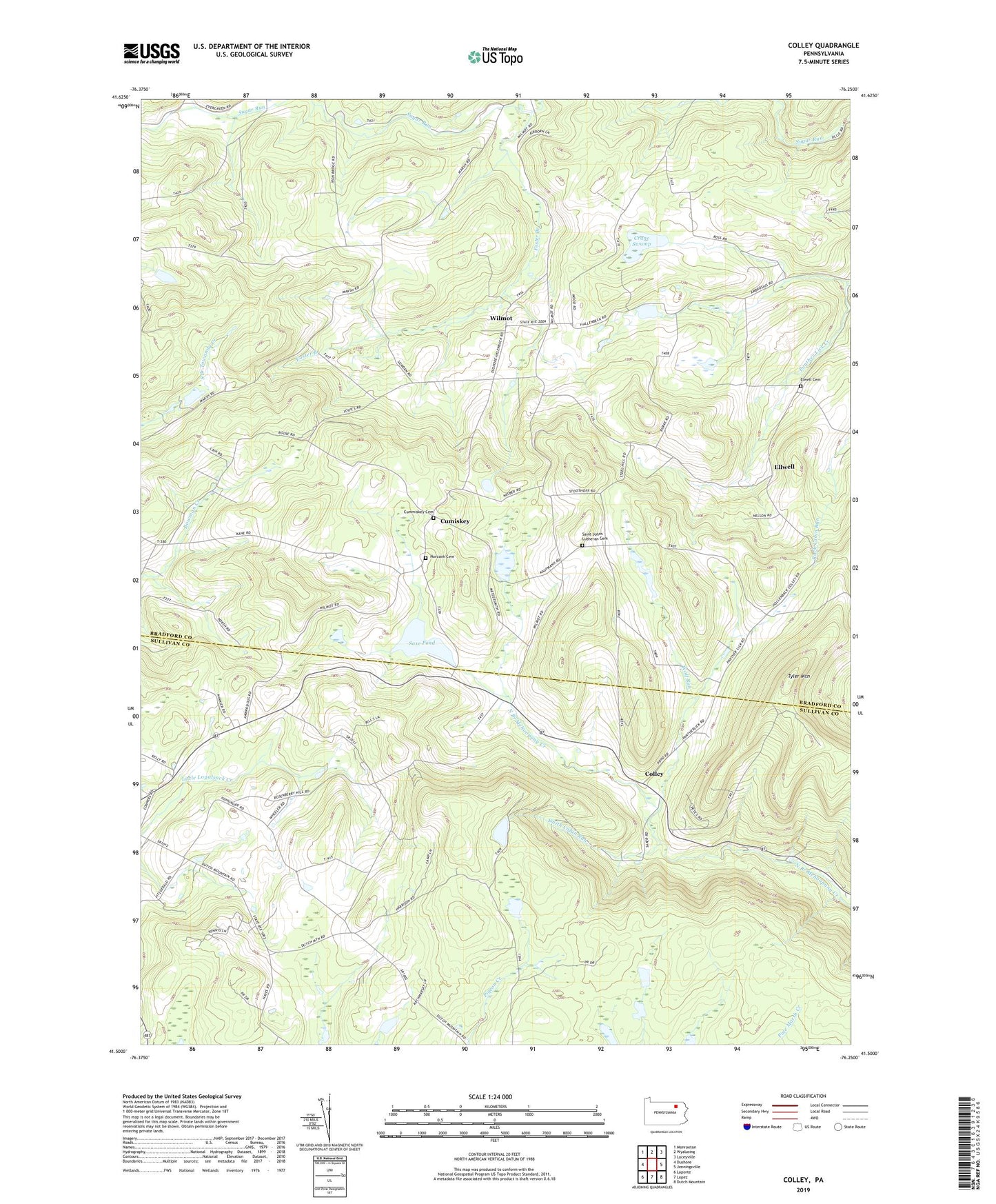
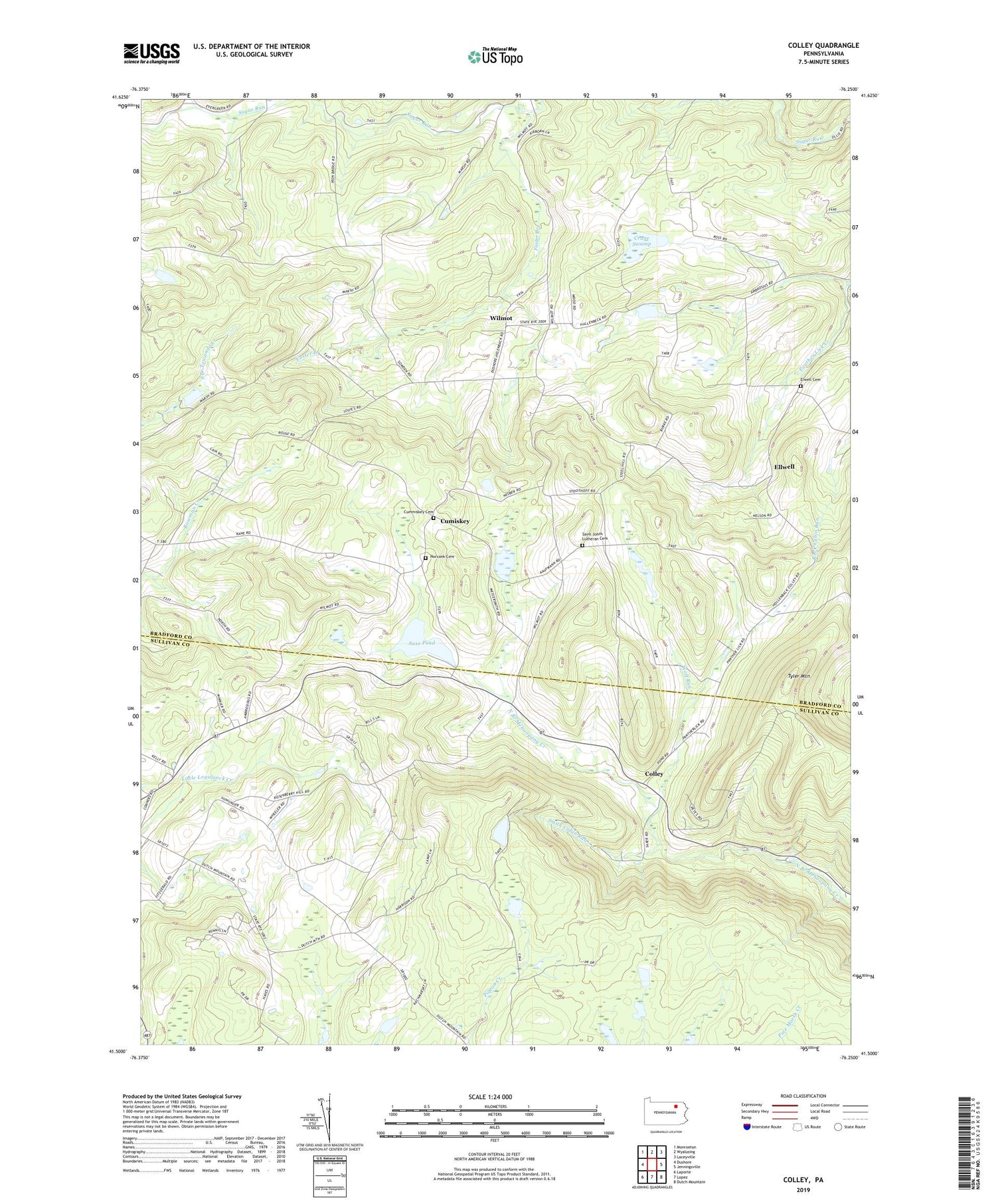
2019 topographic map quadrangle Colley in the state of Pennsylvania. Scale: 1:24000. Based on the newly updated USGS 7.5' US Topo map series, this map is in the following counties: Bradford, Sullivan. The map contains contour data, water features, and other items you are used to seeing on USGS maps, but also has updated roads and other features. This is the next generation of topographic maps. Printed on high-quality waterproof paper with UV fade-resistant inks.
Quads adjacent to this one:
West: Dushore
Northwest: Monroeton
North: Wyalusing
Northeast: Laceyville
East: Jenningsville
Southeast: Dutch Mountain
South: Lopez
Southwest: Laporte
Contains the following named places: Colley, Crane Creek, Crane Swamp, Crooked Run Creek, Cumiskey, Cummiskey Cemetery, Ellwell, Elwell Cemetery, Farr School, Foster Branch, Kinsley Corners, New Era, Norconk Cemetery, Pleasant Valley Fruit Farm, Saint Francis Church, Saint Johns Church, Saint Johns Lutheran Cemetery, Saxe Pond, Saxe Pond Dam, Smith Cabin Run, State Game Lands Number 142, State Game Lands Number 172, Township of Wilmot, Tyler Mountain, Wilmot, Windfall School, Wolf Run