MyTopo
Dushore Pennsylvania US Topo Map
Couldn't load pickup availability
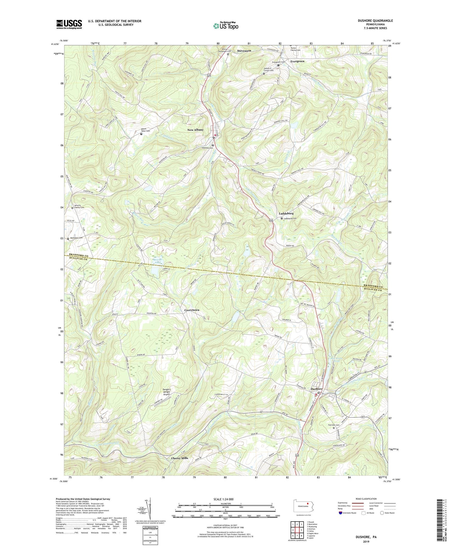
2023 topographic map quadrangle Dushore in the state of Pennsylvania. Scale: 1:24000. Based on the newly updated USGS 7.5' US Topo map series, this map is in the following counties: Bradford, Sullivan. The map contains contour data, water features, and other items you are used to seeing on USGS maps, but also has updated roads and other features. This is the next generation of topographic maps. Printed on high-quality waterproof paper with UV fade-resistant inks.
Quads adjacent to this one:
West: Overton
Northwest: Powell
North: Monroeton
Northeast: Wyalusing
East: Colley
Southeast: Lopez
South: Laporte
Southwest: Eagles Mere
This map covers the same area as the classic USGS quad with code o41076e4.
Contains the following named places: Beaver Pond, Beaver Run, Black Creek, Bob Kosts Pond, Borough of Dushore, Borough of New Albany, Bowman Creek, Cherry Mills, Coveytown, Coyles Corners, Dushore, Dushore Fire Company Station 57, Dushore Post Office, Dwight's Delight Airport, Evergreen, Evergreen Cemetery, Fairview Cemetery, French Creek, Hatch Hill Cemetery, Heverly Family Cemetery, Hillcrest Cemetery, Ladds Creek, Laddsburg, Laddsburg Cemetery, Lick Creek, Marsh Run, Methodist Cemetery, Mill Creek, New Albany, New Albany Post Office, New Albany Volunteer Fire Company Station 8, Payne Run, Redeemer Church, Saint Basils School, Saint Pauls Church, Satterfield, Stevenson, Township of Albany, Township of Cherry, Wampole Run, Wilcox Stevenson Cemetery, Zadock P Corson Cemetery, ZIP Codes: 18614, 18833


