MyTopo
Donegal Pennsylvania US Topo Map
Couldn't load pickup availability
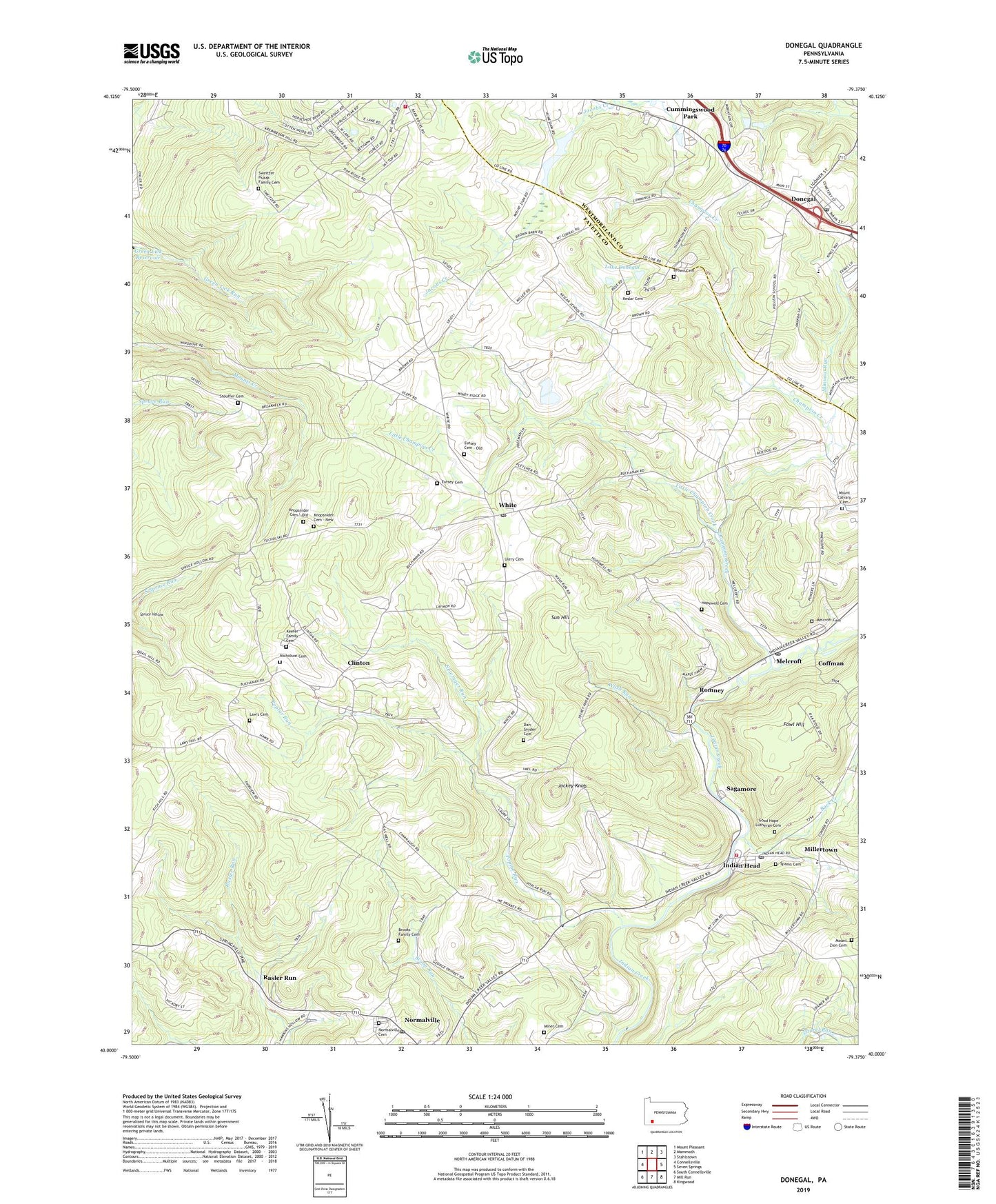
2023 topographic map quadrangle Donegal in the state of Pennsylvania. Scale: 1:24000. Based on the newly updated USGS 7.5' US Topo map series, this map is in the following counties: Fayette, Westmoreland. The map contains contour data, water features, and other items you are used to seeing on USGS maps, but also has updated roads and other features. This is the next generation of topographic maps. Printed on high-quality waterproof paper with UV fade-resistant inks.
Quads adjacent to this one:
West: Connellsville
Northwest: Mount Pleasant
North: Mammoth
Northeast: Stahlstown
East: Seven Springs
Southeast: Kingwood
South: Mill Run
Southwest: South Connellsville
This map covers the same area as the classic USGS quad with code o40079a4.
Contains the following named places: Back Creek, Bear Rock School, Bear Rocks, Borough of Donegal, Brooks Family Cemetery, Brown Cemetery, Bullskin Township Volunteer Fire Department Station 3 - 45, Calvary Church, Champion Creek, Clinton, Coffman, Cummingswood Park, Dan Snyder Cemetery, Davistown, Donegal, Donegal Post Office, Eutsey Cemetery, Eutsey Cemetery - Old, Fairview School, Fowl Hill, Frogtown, Gerry School, Good Hope Lutheran Cemetery, Hopewell Cemetery, Indian Head, Indian Head Post Office, Jockey Knob, Keefer Family Cemetery, Keslar Cemetery, Knopsnider Cemetery - New, Knopsnider Cemetery - Old, Lake Donegal, Law's Cemetery, Little Champion Creek, Melcroft, Melcroft Cemetery, Melcroft Post Office, Millertown, Miner Cemetery, Minnow Run, Mount Calvary Cemetery, Mount Salem Church, Mount Zion Cemetery, Mount Zion Church, Newmyer Run, Nicholson Cemetery, Normalville Cemetery, Normalville Post Office, Poplar Run, Poplar Run Church, Pritts School, Rasler Run, Romney, Sagamore, Salt Lick, Saltlick Township Volunteer Fire Department Station 46, South Spruce Run, Sparks Cemetery, Stauffer School, Stouffer Cemetery, Sun Hill, Sweitzer Huzak Family Cemetery, Township of Saltlick, Ulery Cemetery, Wash Run, White, White Post Office, ZIP Codes: 15446, 15462, 15469, 15490


