MyTopo
Hampton Pennsylvania US Topo Map
Couldn't load pickup availability
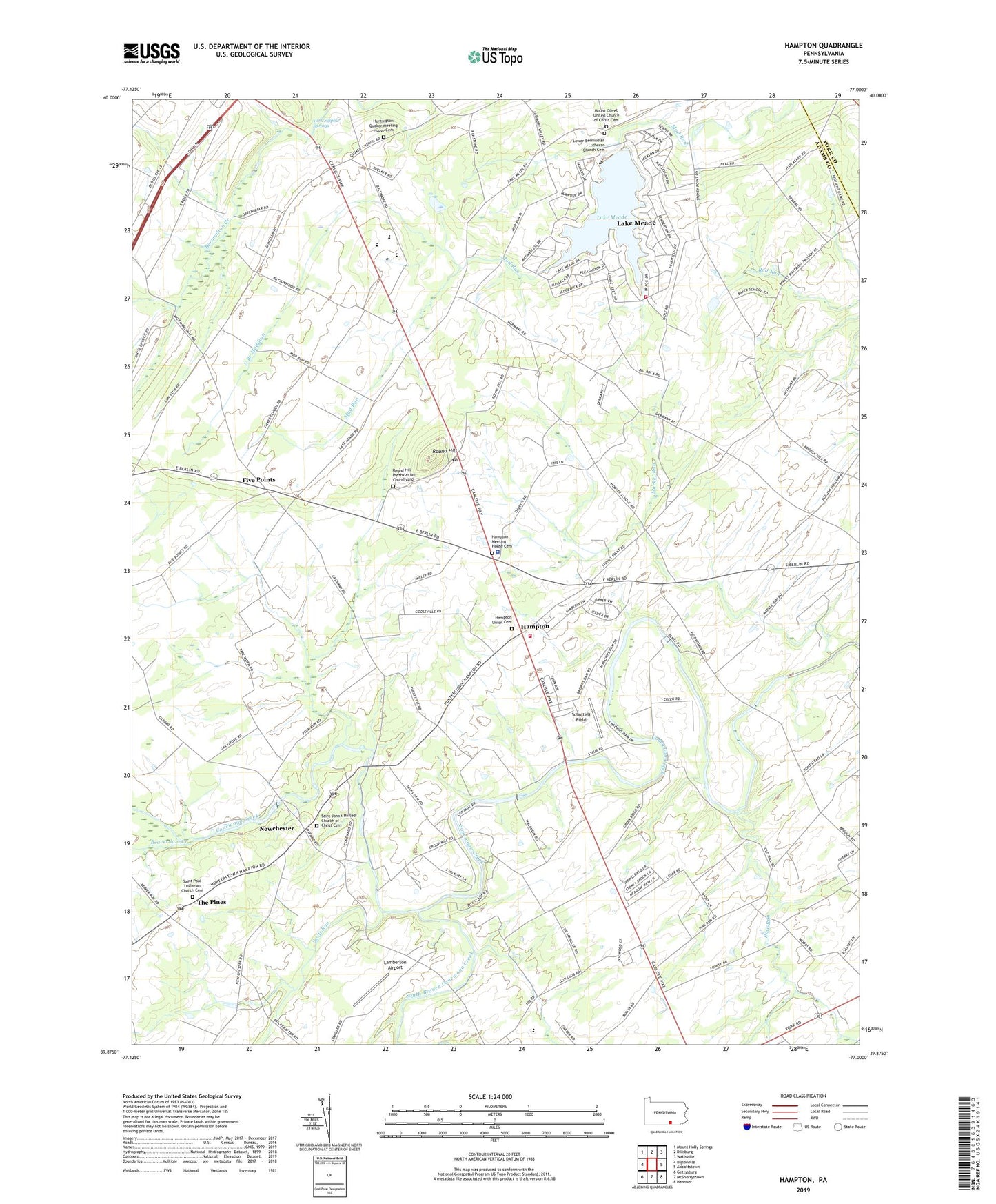
2023 topographic map quadrangle Hampton in the state of Pennsylvania. Scale: 1:24000. Based on the newly updated USGS 7.5' US Topo map series, this map is in the following counties: Adams, York. The map contains contour data, water features, and other items you are used to seeing on USGS maps, but also has updated roads and other features. This is the next generation of topographic maps. Printed on high-quality waterproof paper with UV fade-resistant inks.
Quads adjacent to this one:
West: Biglerville
Northwest: Mount Holly Springs
North: Dillsburg
Northeast: Wellsville
East: Abbottstown
Southeast: Hanover
South: McSherrystown
Southwest: Gettysburg
This map covers the same area as the classic USGS quad with code o39077h1.
Contains the following named places: Amatus, Baker School, Beaverdam Creek, Bowlder, Browns Dam, Fickes School, Five Points, Gardner Run, Green Ridge School, Hafers Mill, Hampton, Hampton Census Designated Place, Hampton Fire Company Station 10, Hampton Meeting House Cemetery, Hampton Union Cemetery, Hoover School, Huntington Quaker Meeting House Cemetery, Independence School, Lake Meade, Lake Meade Census Designated Place, Lake Meade Dam, Lake Meade Fire and Rescue Station 26, Lamberson Airport, Lower Bermudian Lutheran Church Cemetery, Markel Run, Market Garden Airport, Meadowlark Farm, Mount Olivet United Church of Christ Cemetery, Newchester, North Branch Mud Run, Oakgrove School, Oakwood School, Pine Church, Pine Run, Pine Run School, Round Hill, Round Hill Post Office, Round Hill Presbyterian Churchyard, Round Hill School, Saint John's United Church of Christ Cemetery, Saint Paul Lutheran Church Cemetery - North, Schulteis Field, Seven Hundred School, South Branch Conewago Creek, Stauffers School, Swift Run, The Pines, Township of Hamilton, Township of Reading, Two Churches School, Victory School, Waldheim, Whitcomb View School, Wilts School, Wolferd School, York Sulphur Springs, ZIP Codes: 17316, 17350


