MyTopo
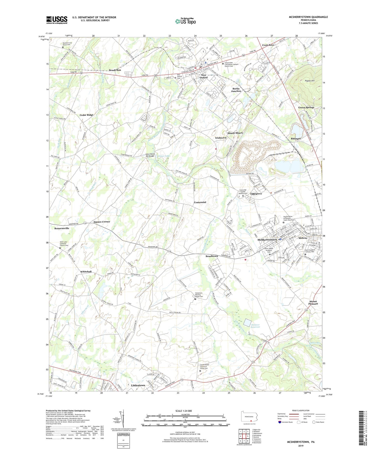
McSherrystown Pennsylvania US Topo Map
Couldn't load pickup availability
2023 topographic map quadrangle McSherrystown in the state of Pennsylvania. Scale: 1:24000. Based on the newly updated USGS 7.5' US Topo map series, this map is in the following counties: Adams. The map contains contour data, water features, and other items you are used to seeing on USGS maps, but also has updated roads and other features. This is the next generation of topographic maps. Printed on high-quality waterproof paper with UV fade-resistant inks.
Quads adjacent to this one:
West: Gettysburg
Northwest: Biglerville
North: Hampton
Northeast: Abbottstown
East: Hanover
Southeast: Manchester
South: Littlestown
Southwest: Taneytown
This map covers the same area as the classic USGS quad with code o39077g1.
Contains the following named places: Ace Emergency Medical Services, Annunciation of Blessed Virgin Mary Cemetery, Ashgrove School, Berlin Junction, Bethlehem Limestone Quarry, Bittinger, Borough of McSherrystown, Borough of New Oxford, Brush Run, Brush Run School, Brushtown, Cedar Ridge, Centennial, Center School, Christ United Church of Christ Cemetery, Church Station, Clearview School, Conewago Chapel, Conewago Chapel Basilica Cemetery, Conewago Township Police Department, Cross Keys, Eastern Adams Regional Police Department, Edgegrove, Felty School, Green Springs, Hanover Airport, Hanover Quarry, Hanover Reservoir, Hostetters Meeting House Cemetery, Immaculate Conception Catholic Church Cemetery, Indian Run, Irishtown, Irishtown Fire Company Station 14, John's Burnt Mill Bridge, Kaiser Lake, Kilpatrick School, Kohler School, Lefevre, Locust Grove School, McSherry, McSherrystown, McSherrystown Police Department, McSherrystown Post Office, Midway, Midway Ambulance Service, Midway Census Designated Place, Moritz School, Mount Misery, Mount Pleasant, New Oxford, New Oxford Area Library, New Oxford Cemetery, New Oxford Community Fire Company, New Oxford Post Office, Northern Low Dutch Cemetery, Pigeon Hill, Pleasant Hill School, Plum Creek, Red Hill School, Saint Joseph Academy, Saint Joseph Academy Cemetery, Saint Luke Lutheran Church Cemetery, Saint Vincent's Catholic Cemetery, Sells Station, Sheppard Dam, Sheraton Breeding Farm, Southeastern Adams Volunteer Emergency Services Station 2, Southeastern Adams Volunteer Emergency Services Station 29, Square Corner, Township of Conewago, Township of Mount Pleasant, Township of Oxford, Township of Union, Valley Grove School, Valley School, Whitehall, Whitehall School, WHVR-AM (Hanover), Xanthus Farm, ZIP Codes: 17340, 17344


