MyTopo
Harlansburg Pennsylvania US Topo Map
Couldn't load pickup availability
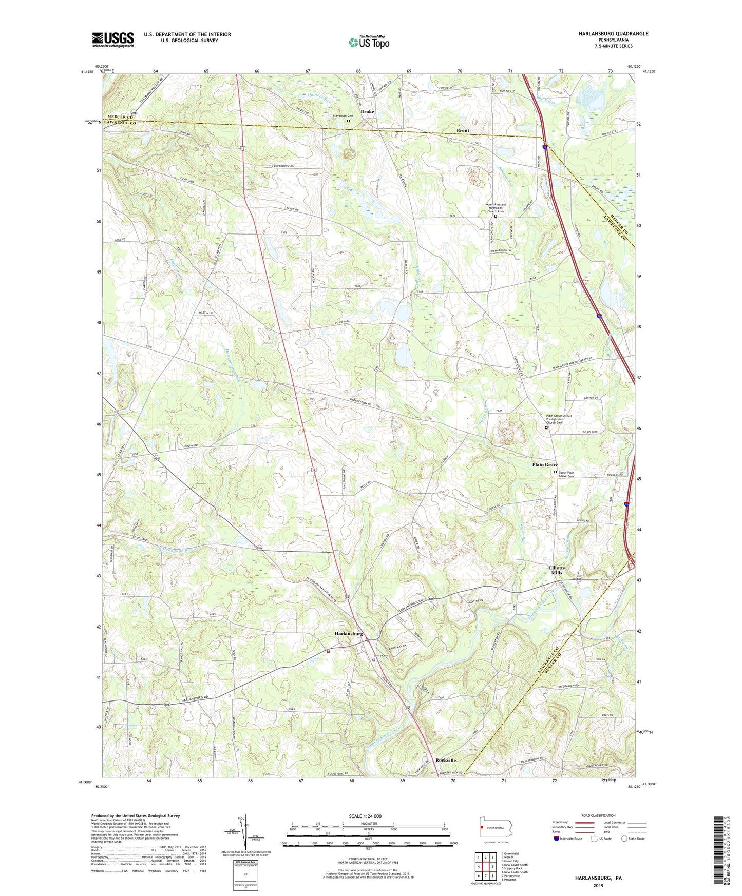
2023 topographic map quadrangle Harlansburg in the state of Pennsylvania. Scale: 1:24000. Based on the newly updated USGS 7.5' US Topo map series, this map is in the following counties: Lawrence, Mercer, Butler. The map contains contour data, water features, and other items you are used to seeing on USGS maps, but also has updated roads and other features. This is the next generation of topographic maps. Printed on high-quality waterproof paper with UV fade-resistant inks.
Quads adjacent to this one:
West: New Castle North
Northwest: Greenfield
North: Mercer
Northeast: Grove City
East: Slippery Rock
Southeast: Prospect
South: Portersville
Southwest: New Castle South
This map covers the same area as the classic USGS quad with code o41080a2.
Contains the following named places: Black Run, Braden School, Brent, Burns School, Camp Rentz, Carr School, Center School, Cooper School, Deep Valley Camp, Drake, East Lawrence Elementary School, East Lawrence School, Eight Square School, Elliotts Mills, Green Meadows Golf Course, Harlansburg, Jackson School, Jamison Run, Jordan School, McFarland School, Meadowlark Farm Airport, Mount Pleasant Methodist Church Cemetery, Mount Pleasant School, Oak Grove School, Plain Grove, Plain Grove United Presbyterian Church Cemetery, Potter Run School, Ridge School, Rockville, Scott Township Volunteer Fire Department Station 1500, Shaw Landing Area, South Plain Grove Cemetery, Spring School, State Game Lands Number 151, State Game Lands Number 216, State Game Lands Number 284, Stevenson Cemetery, Taylor Run, Township of Plain Grove, Township of Scott, Township of Washington, Unity Cemetery, Young School, ZIP Code: 16156


