MyTopo
Hookstown Pennsylvania US Topo Map
Couldn't load pickup availability
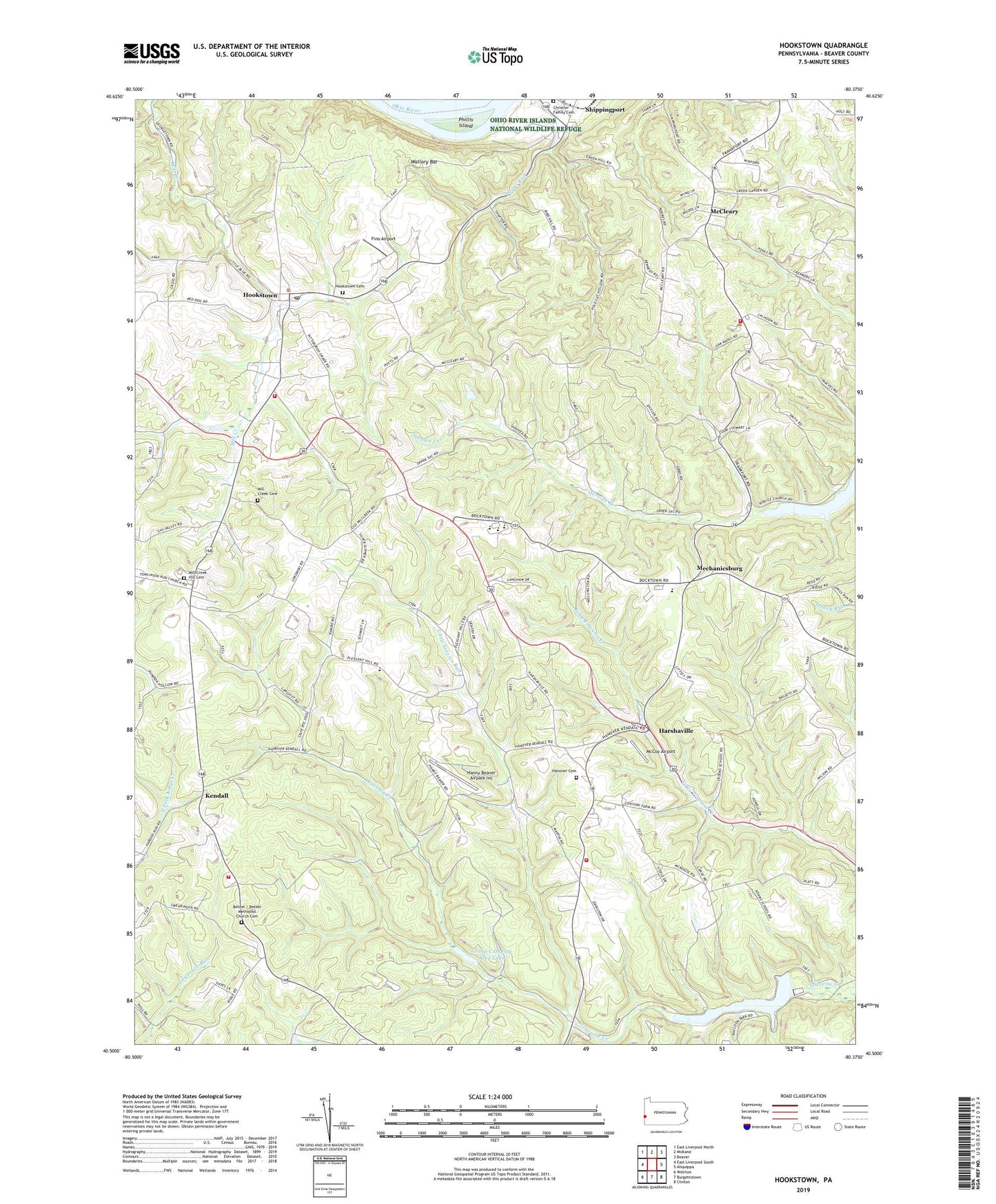
2023 topographic map quadrangle Hookstown in the state of Pennsylvania. Scale: 1:24000. Based on the newly updated USGS 7.5' US Topo map series, this map is in the following counties: Beaver. The map contains contour data, water features, and other items you are used to seeing on USGS maps, but also has updated roads and other features. This is the next generation of topographic maps. Printed on high-quality waterproof paper with UV fade-resistant inks.
Quads adjacent to this one:
Northwest: East Liverpool North
North: Midland
Northeast: Beaver
East: Aliquippa
Southeast: Clinton
South: Burgettstown
Southwest: Weirton
This map covers the same area as the classic USGS quad with code o40080e4.
Contains the following named places: Bethel Church, Bethel Methodist Church Cemetery, Borough of Hookstown, Buchanan School, Christler Family Cemetery, Findlay Township Hall, Fino Airport, Free Methodist Church, Group Camping Area Lake, Hanny Beaver Airpark Inc, Hanover Church, Hanover Church Cemetery, Hanover Township Volunteer Fire Department Station 68 - 1, Hanover Township Volunteer Fire Department Station 68 - 2, Harshaville, Hookstown, Hookstown Cemetery, Hookstown Grange, Hookstown Post Office, Hookstown Volunteer Fire Department Station 60, Kendall, Little Service Run, Main Lake, McCleary, McCoy Airport, Mechanicsburg, Mill Creek Church, Mill Creek Hill Cemetery, Miller School, Mount Pleasant Church, Old Mill Creek Cemetery, Phillis Island, Pleasant Hill Wesleyan Academy, Raccoon Creek State Park, Raccoon Creek State Park Dam, Raccoon Township Independent Volunteer Fire Department Station 35 Substation, Raccoon Township Police Department, Reed School, South Side Elementary School, Southside Middle School and High School, State Park Headquarters, Township of Greene, Township of Hanover, Township of Raccoon, Traverse Creek Dam, Wallory Bar, Wesleyan Church, ZIP Codes: 15043, 15050


