MyTopo
Lewisburg Pennsylvania US Topo Map
Couldn't load pickup availability
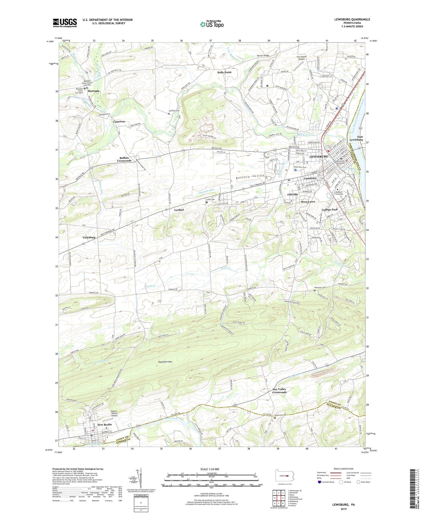
2023 topographic map quadrangle Lewisburg in the state of Pennsylvania. Scale: 1:24000. Based on the newly updated USGS 7.5' US Topo map series, this map is in the following counties: Union, Snyder, Northumberland. The map contains contour data, water features, and other items you are used to seeing on USGS maps, but also has updated roads and other features. This is the next generation of topographic maps. Printed on high-quality waterproof paper with UV fade-resistant inks.
Quads adjacent to this one:
West: Mifflinburg
Northwest: Williamsport SE
North: Allenwood
Northeast: Milton
East: Northumberland
Southeast: Sunbury
South: Freeburg
Southwest: Middleburg
This map covers the same area as the classic USGS quad with code o40076h8.
Contains the following named places: Administrative Services Production Center, Alumni House-Bucknell University, Art Barn Complex, Beaver Run, Berelson Center, Black Run, Borough of Lewisburg, Borough of New Berlin, Breakiron Engineering Building, Bucknell, Bucknell Cottage, Bucknell Hall, Bucknell University, Bucknell University Golf Course, Bucknell West, Buffalo Church, Buffalo Creek, Buffalo Crossroads, Buffalo Valley, Buffalo Valley Regional Police Department, Cameron, Carey House, Chi Phi, Christy Mathewson Gateway, Christy Mathewson Memorial Stadium, College Park, Colonial Crest Golf Course, Computer Center, Cooley Hall, Dana Engineering Building, Davis Gymnasium, Delta Upsilon, Dreisbach Church, Dry Valley Crossroads, Ebenezer Cemetery, Elaine Langone Center, Emmanuel Church, Evangelical Community Hospital, Fairville, Faith Church, Foursquare Church, Fox Hollow Airport, Freas Hall, Fremont House, Galloway House, Gateway Residence Center, Gerhard Fieldhouse, Green Park, Guier Cemetery, Harland A Trax Hall, Harner Bridge, Huenzgle Park, Hulley House, James S Swartz Hall, John Howard Harris Hall, Judd House, Kappa Delta Rho, Kelly Elementary School, Kelly Point, Kelly Township Office, Kelly Township School, Kinney Natatorium, Lambda Chi Alpha, Lantz Cemetery, Larison Hall, Lee N and Grace Q Vedder Hall, Leiser House, Lewisburg, Lewisburg Airfield, Lewisburg Alliance Church, Lewisburg Area High School, Lewisburg Area Middle School, Lewisburg Assembley of God Church, Lewisburg Carrier Annex Post Office, Lewisburg Post Office, Limestone Run, Linntown, Linntown Census Designated Place, Linntown Elementary School, Little Buffalo Creek, Lochiel, Lowry House, Martin House, Marts Hall, Mazeppa, Mazeppa Union Cemetery West, Mazeppa Union Church Cemetery East, Mill Race, Miller Run, Monroe School, Mountain Chapel, Muddy Run, New Berlin, New Berlin Fire Company 1, New Berlin Post Office, Oakland School, Old Order Mennonite Church, O'Leary Center, Phi Gamma Delta, Phi Kappa Psi, Pine Grove School, Pleasant Valley Egg Farm, President's House-Bucknell University, Reformed Baptist Church, Robert and Margaret Farrell Smith Hall, Rooke Chapel, Rooke Chemistry Building, Rush H Kress Hall, Saint Anthonys Street Park, Saint Johns Church, Saint Johns Church of Christ, Sauers-Haven Airport, Shady Grove Christian Church, Shamokin Mountain, Sigma Alpha Epsilon, Sigma Chi, Sigma Phi Epsilon, Sojka Pavilion, South Ward Elementary School, Spratt House, Spruce Run, State Game Lands Number 193, Stoltzfus Cemetery, Sun Area Technical School, Tau Kappa Epsilon, Township of Buffalo, Township of East Buffalo, Township of Kelly, Township of Union, Tustin Building, Union Church, Union County Sheriff's Office, United Church, United Methodist Home, United States Penitentiary Lewisburg, Vaughan Literature Building, Vicksburg, Vicksburg Census Designated Place, Weis Center, Weis Music Building, Wesleyan Church, West Lawn, Western Area Joint School, William Cameron Engine Company, WTGC Radio Tower (Ticonderoga), WTGC-AM (Lewisburg), WVBU-FM (Lewisburg), Ziegler Health Center, ZIP Codes: 17837, 17855, 17889


