MyTopo
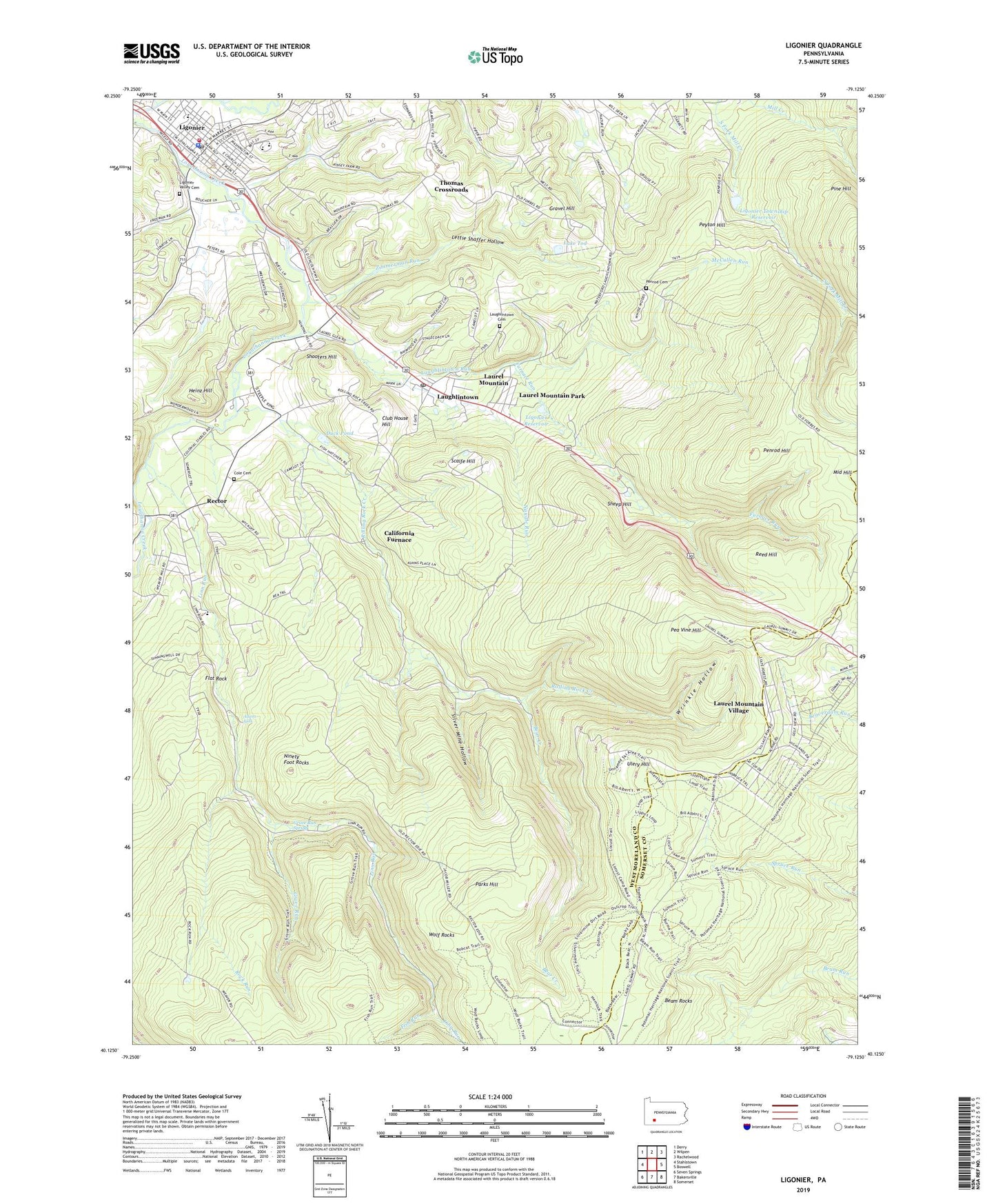
Ligonier Pennsylvania US Topo Map
Couldn't load pickup availability
2023 topographic map quadrangle Ligonier in the state of Pennsylvania. Scale: 1:24000. Based on the newly updated USGS 7.5' US Topo map series, this map is in the following counties: Westmoreland, Somerset. The map contains contour data, water features, and other items you are used to seeing on USGS maps, but also has updated roads and other features. This is the next generation of topographic maps. Printed on high-quality waterproof paper with UV fade-resistant inks.
Quads adjacent to this one:
West: Stahlstown
Northwest: Derry
North: Wilpen
Northeast: Rachelwood
East: Boswell
Southeast: Somerset
South: Bakersville
Southwest: Seven Springs
This map covers the same area as the classic USGS quad with code o40079b2.
Contains the following named places: Adams Falls, Airglow Observatory, Beam Rocks, Bear Creek, Bluestone, Bluestone Quarry, Borough of Laurel Mountain, Borough of Ligonier, Boucher School, Brant Trail, Byers Station, California Furnace, Club House Hill, Cole Cemetery, Darr Trail, Duck Pond, East End Trail, Fish Run, Flat Rock, Forbes State Forest, Fort Ligonier, Furnace Run, Gravel Hill, Grove Run, Grove Run Spring, Heinz Hill, Hermitage School, Holy Trinity School, Lake Tod, Laughlintown, Laughlintown Post Office, Laughlintown Run, Laurel Hill Cemetery, Laurel Hill Fire Tower, Laurel Mountain Park, Laurel Mountain Ski Resort, Laurel Mountain State Park, Laurel Mountain Village, Laurel Valley Golf Club, Lebanon Church, Left Fork Mill Creek, Lettie Shaffer Hollow, Ligonier, Ligonier Dam, Ligonier Post Office, Ligonier Reservoir, Ligonier Township Reservoir, Ligonier Valley Ambulance Service, Ligonier Valley Cemetery, Ligonier Valley Library, Ligonier Valley YMCA, Ligonier Volunteer Hose Company 1, Linn Run, Linn Run State Park, Marker School, McCullen Run, Mellons, Naugle Run, Ninety Foot Rocks, Parks Hill, Pea Vine Hill, Penrod Cemetery, Penrod Hill, Peyton Hill, Rector, Rectors Mill, Reed Hill, Ridgeview Golf Course, Right Fork Mill Creek, Rock Run, Rolling Rock Creek, Rolling Rock Lookout Tower, Scaife Hill, Sheep Hill, Shirley, Shooters Hill, Silver Mine Hollow, Speedwell, Speedwell School, Spruce Run Trail, Thomas Crossroads, Township of Ligonier, Ulery Hill, Valley School, WJNL-TV (Johnstown), Wolf Rocks, Wolf Rocks Trail, Wrinkle Hollow, Zimmerman Run, ZIP Codes: 15655, 15658, 15677


