MyTopo
Lucinda Pennsylvania US Topo Map
Couldn't load pickup availability
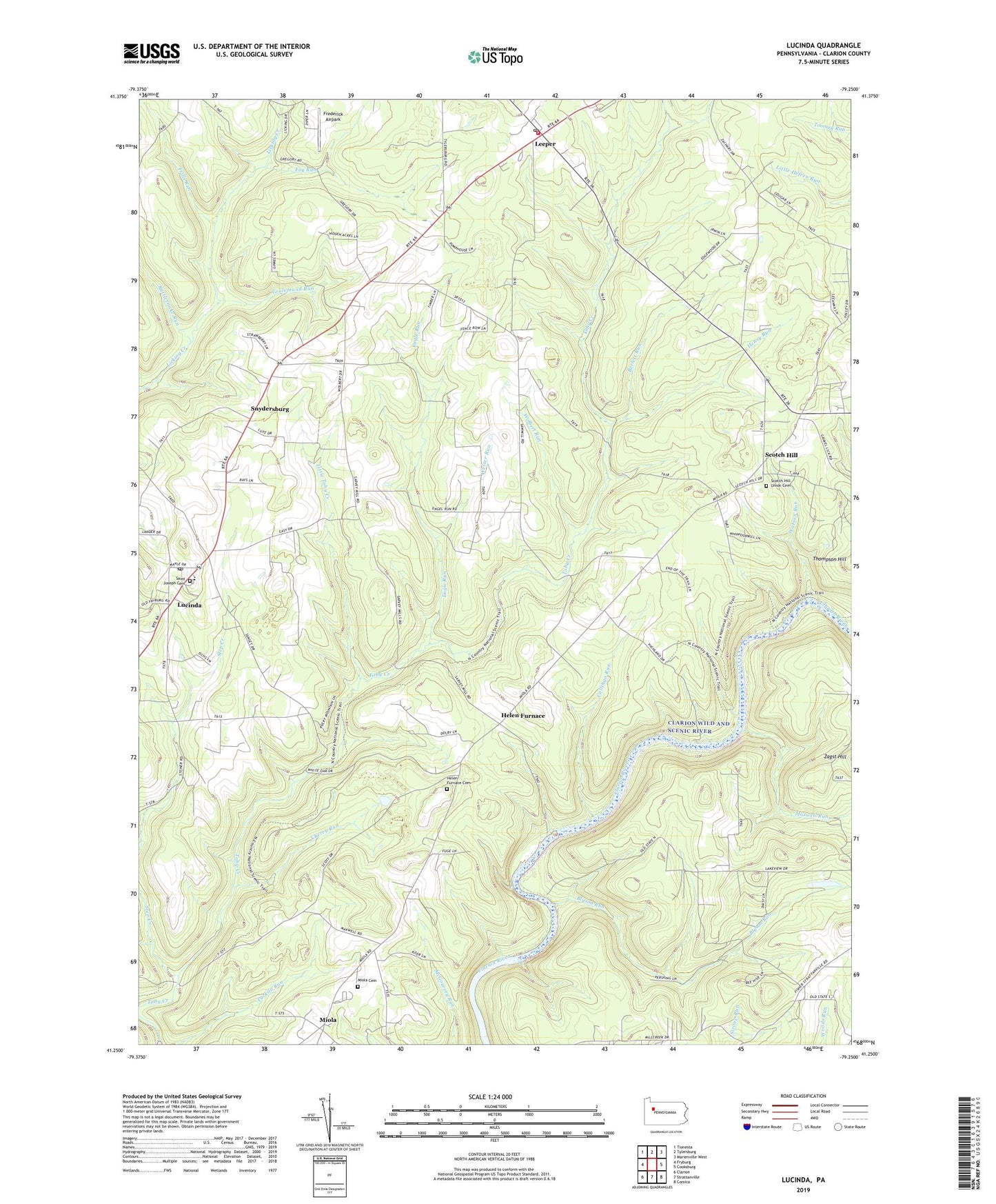
2023 topographic map quadrangle Lucinda in the state of Pennsylvania. Scale: 1:24000. Based on the newly updated USGS 7.5' US Topo map series, this map is in the following counties: Clarion. The map contains contour data, water features, and other items you are used to seeing on USGS maps, but also has updated roads and other features. This is the next generation of topographic maps. Printed on high-quality waterproof paper with UV fade-resistant inks.
Quads adjacent to this one:
West: Fryburg
Northwest: Tionesta
North: Tylersburg
Northeast: Marienville West
East: Cooksburg
Southeast: Corsica
South: Strattanville
Southwest: Clarion
This map covers the same area as the classic USGS quad with code o41079c3.
Contains the following named places: Barlett Run, Blyson Run, Callihan Run, Cherry Run, Cooks Corners, Engle Run, Farmington Area Ambulance Service, Farmington Township Volunteer Fire Company Station 540, Foy Run, Frederick Airpark, Frills Run, Gold School, Grolemund Run, Helen Furnace, Helen Furnace Cemetery, Henry Run, Henry School, Highland Township High School, Howe School, Leeper, Leeper Census Designated Place, Leeper Post Office, Little Toby, Little Toby Creek, Lucinda, Lucinda Post Office, Maxwell Run, Miola, Miola Cemetery, Rattlesnake Run, Saint Joseph Cemetery, Saint Josephs Church, Saint Josephs School, Schmader Airport, Scotch Hill, Scotch Hill Union Cemetery, Shiloh Church, Snydersburg, Step Creek, Township of Farmington, Township of Highland, Township of Millcreek, Tylersburg Station, Watson Run, Weiser Run, Wolbert Run, Wolfert School, ZIP Codes: 16233, 16235, 16332


