MyTopo
Tionesta Pennsylvania US Topo Map
Couldn't load pickup availability
Also explore the Tionesta Forest Service Topo of this same quad for updated USFS data
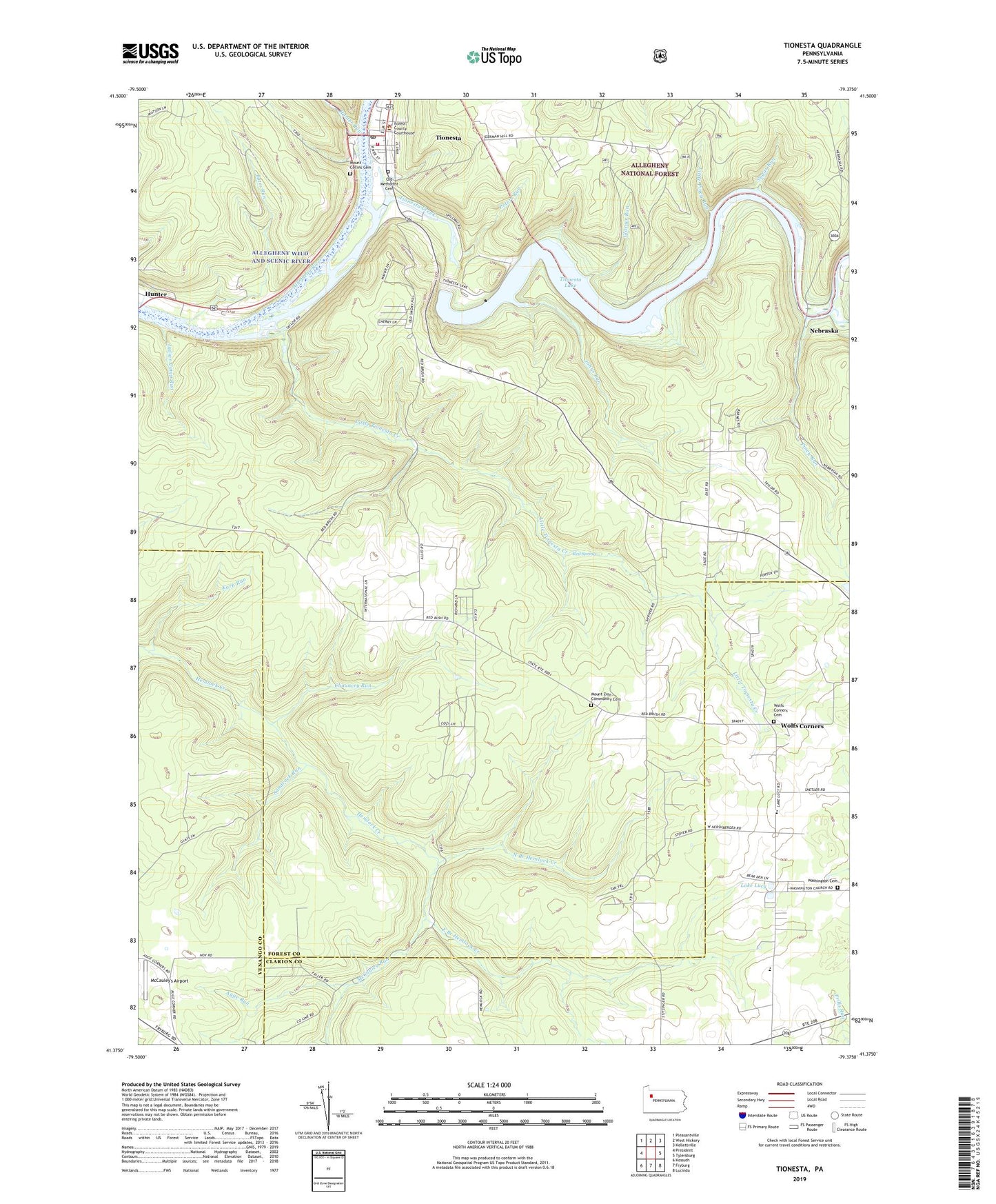
2023 topographic map quadrangle Tionesta in the state of Pennsylvania. Scale: 1:24000. Based on the newly updated USGS 7.5' US Topo map series, this map is in the following counties: Forest, Clarion, Venango. The map contains contour data, water features, and other items you are used to seeing on USGS maps, but also has updated roads and other features. This is the next generation of topographic maps. Printed on high-quality waterproof paper with UV fade-resistant inks.
Quads adjacent to this one:
West: President
Northwest: Pleasantville
North: West Hickory
Northeast: Kellettville
East: Tylersburg
Southeast: Lucinda
South: Fryburg
Southwest: Kossuth
This map covers the same area as the classic USGS quad with code o41079d4.
Contains the following named places: Auge Run, Auges Corners, Bates Run, Blocher School, Borough of Tionesta, Camp Tionesta, Chauncey Run, Coon Creek, East Branch Hemlock Creek, Forest Area School, Forest County Courthouse, Forest County Jail, Forest County Sheriff's Office, Forest County War Memorial, Glasner Run, Hinder School, Huddleson School, Hunter, Hunter Run, Indian Camp Run, Johns Run, Korb Run, Lake Lucy, Little Piney Run, Little Tionesta Creek, McCauley Run, McCauley's Airport, Mount Collins Cemetery, Mount Zion Church, Mount Zion Community Cemetery, Nebraska, North Branch Hemlock Creek, Number 10 School, Old Methodist Cemetery, Oldtown School, Peters Run, Piney Run, Red Spring, Saint Anthony Catholic Church, Sandrock Run, Schriver School, Smoky Hill School, Sugar Run, Taylor, Tionesta, Tionesta Borough Volunteer Fire Department, Tionesta Creek, Tionesta Dam, Tionesta Lake, Tionesta Post Office, Tionesta Presbyterian Church, Tionesta Station, Township of Tionesta, United Methodist Church, Washington Cemetery, Washington Church, Wolfs Corners, Wolfs Corners Cemetery, ZIP Code: 16326


