MyTopo
Meadow Grounds Pennsylvania US Topo Map
Couldn't load pickup availability
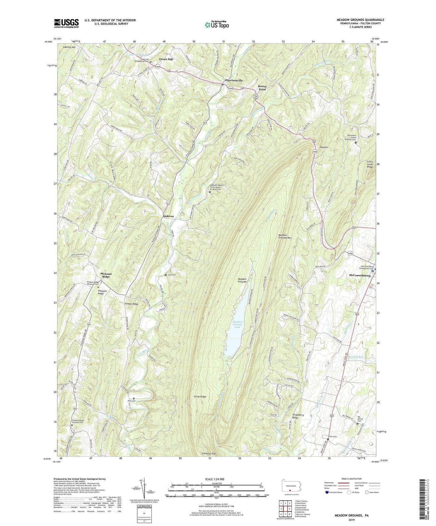
2023 topographic map quadrangle Meadow Grounds in the state of Pennsylvania. Scale: 1:24000. Based on the newly updated USGS 7.5' US Topo map series, this map is in the following counties: Fulton. The map contains contour data, water features, and other items you are used to seeing on USGS maps, but also has updated roads and other features. This is the next generation of topographic maps. Printed on high-quality waterproof paper with UV fade-resistant inks.
Quads adjacent to this one:
West: Breezewood
Northwest: Wells Tannery
North: Hustontown
Northeast: Burnt Cabins
East: McConnellsburg
Southeast: Mercersburg
South: Big Cove Tannery
Southwest: Needmore
This map covers the same area as the classic USGS quad with code o39078h1.
Contains the following named places: Andover, Asbury Church, Baby Run, Back Run, Bethlehem Church, Bethlehem United Brethren Cemetery, Big Spring Cemetery, Breezy Point, Cline Cemetery, Ditch Run, Fulton County, Fulton County Medical Center, Green Hill, Green Hill Presbyterian Cemetery, Harrisonville, Harrisonville Post Office, Joes Run, Kendall Run, Lick Hollow, McConnellsburg Presbyterian Cemetery, Meadow Grounds, Meadow Grounds Dam, Meadow Grounds Lake, Meadow Grounds Mountain, Owl Creek, Patterson Run, Pleasant Ridge, Pleasant Ridge Brethren Cemetery, Pleasant Ridge Church, Pleasant Ridge Nazarene Cemetery, Rock Hill Church, Scrub Ridge, Siloam Church, Sindeldecker Branch, State Game Lands Number 53, Strawberry Ridge, Summit, Supreme Council of the House of Jacob Cemetery, The Supreme Council of the House of Jacob, Township of Ayr, Township of Licking Creek, Union Cemetery, Union Church, Wink Cemetery, ZIP Code: 17228


