MyTopo
Mill Hall Pennsylvania US Topo Map
Couldn't load pickup availability
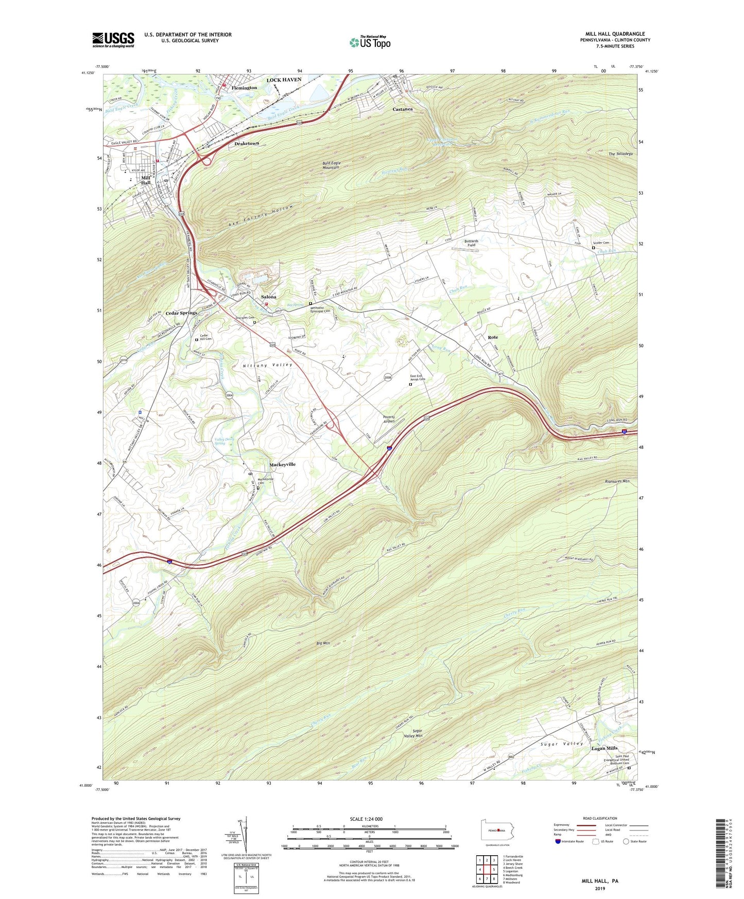
2023 topographic map quadrangle Mill Hall in the state of Pennsylvania. Scale: 1:24000. Based on the newly updated USGS 7.5' US Topo map series, this map is in the following counties: Clinton. The map contains contour data, water features, and other items you are used to seeing on USGS maps, but also has updated roads and other features. This is the next generation of topographic maps. Printed on high-quality waterproof paper with UV fade-resistant inks.
Quads adjacent to this one:
West: Beech Creek
Northwest: Farrandsville
North: Lock Haven
Northeast: Jersey Shore
East: Loganton
Southeast: Woodward
South: Millheim
Southwest: Madisonburg
This map covers the same area as the classic USGS quad with code o41077a4.
Contains the following named places: Axe Factory Hollow, Axe Factory Run, Bear Mountain, Big Mountain, Big Spring, Borough of Mill Hall, Brick School, Buzzards Field, Castanea, Castanea Census Designated Place, Castanea Post Office, Cedar Hill Cemetery, Cedar Run, Cedar Springs, Chub Run, Clinton School, Disciples Cemetery, Draketown, East End Amish Cemetery, Fishing Creek, Goodwill Hose Fire Company Station 7, Lamar School, Lamar Township Volunteer Fire Department Station 11, Logan Mills, Long Run, Mackeyville, Mackeyville Cemetery, Mackeyville Post Office, Methodist Episcopal Cemetery, Mill Hall, Mill Hall Fire Company Station 4, Mill Hall Police Department, Mill Hall Post Office, Pennsylvania State Police Troop F Lamar Station, Poverty Airport, Riansares Mountain, Ridge School, Rote, Rote Census Designated Place, Saint Paul Evangelical United Brethren Cemetery, Salona, Salona Census Designated Place, Salona Quarry, Snyder Cemetery, Stamm Trail, Sugar Valley Mountain, The Talladega, Township of Castanea, Township of Lamar, Upper Castanea Reservoir, Upper Castanea Reservoir Dam, Valley Dairy Spring, West Kammerdiner Run, Winter Trail, ZIP Codes: 17750, 17767


