MyTopo
Oak Forest Pennsylvania US Topo Map
Couldn't load pickup availability
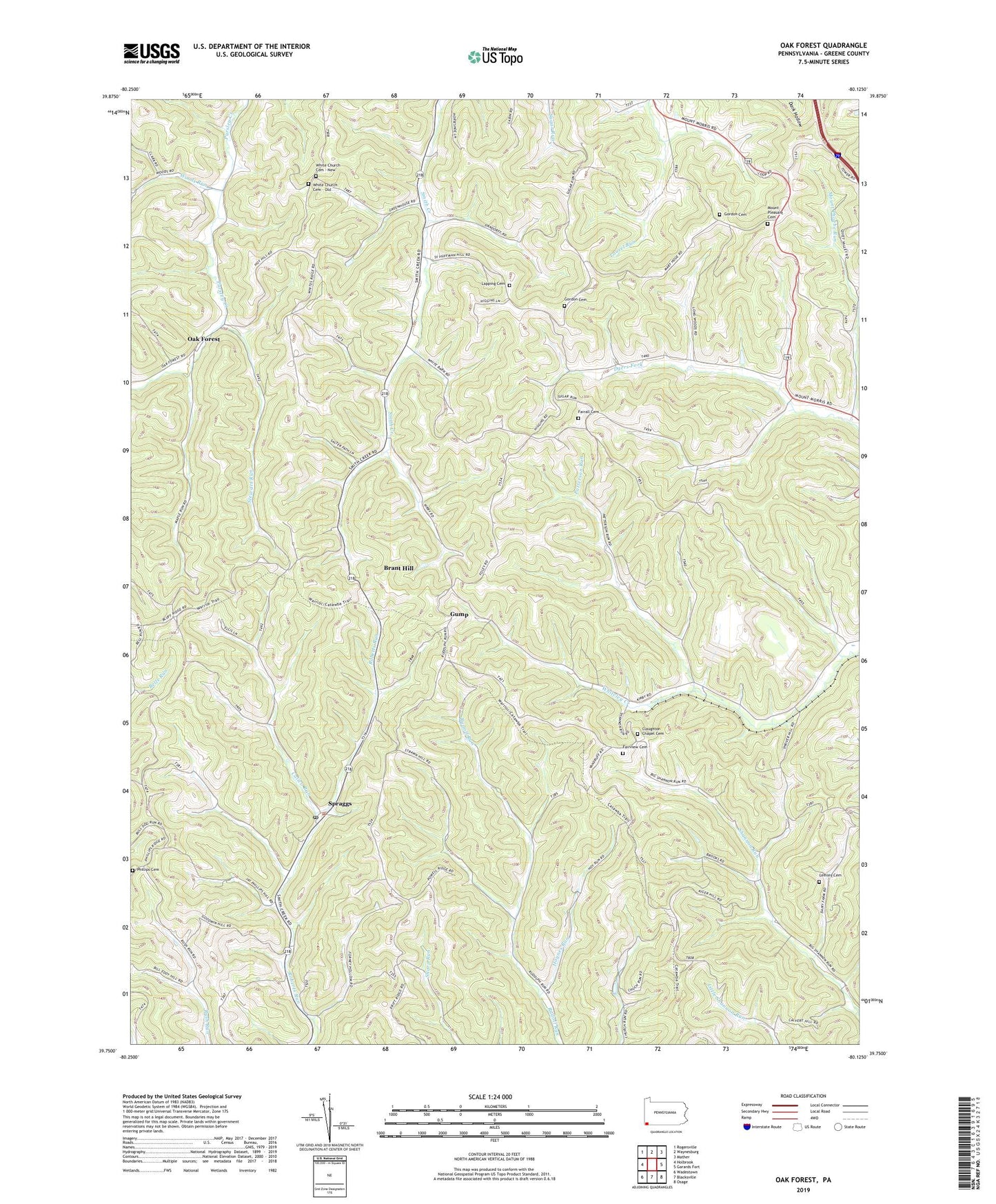
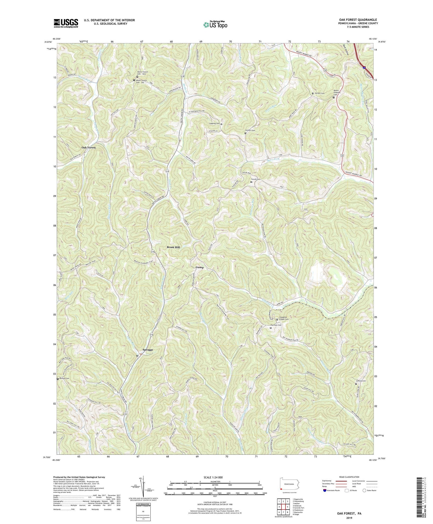
2019 topographic map quadrangle Oak Forest in the state of Pennsylvania. Scale: 1:24000. Based on the newly updated USGS 7.5' US Topo map series, this map is in the following counties: Greene. The map contains contour data, water features, and other items you are used to seeing on USGS maps, but also has updated roads and other features. This is the next generation of topographic maps. Printed on high-quality waterproof paper with UV fade-resistant inks.
Quads adjacent to this one:
West: Holbrook
Northwest: Rogersville
North: Waynesburg
Northeast: Mather
East: Garards Fort
Southeast: Osage
South: Blacksville
Southwest: Wadestown
Contains the following named places: Brant Hill, Calico Run, Claughton Chapel Cemetery, Dulaney School, Fairall Cemetery, Fairall Church, Fairview Cemetery, Gordon Cemetery, Greene County, Gump, Haynes Run, Lapping Cemetery, Lemley Cemetery, Maple Run, Mount Phoebe Run, Mount Pleasant Cemetery, Mount Pleasant Church, Oak Forest, Patterson Run, Phillips Cemetery, Pin Oak Church, Shannon Run School, Spraggs, Spraggs Post Office, Stewart Run, Township of Wayne, Township of Whiteley, WANB-AM (Waynesburg), White Church Cemetery - New, White Church Cemetery - Old, Woods Run, ZIP Code: 15362